Springfield in Fairfax County, Virginia — The American South (Mid-Atlantic)
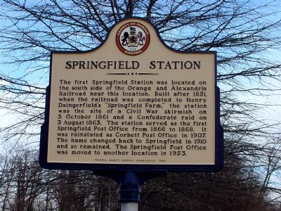
Springfield Station
Erected 1999 by Fairfax County History Commission.
Topics and series. This historical marker is listed in these topic lists: Railroads & Streetcars • War, US Civil. In addition, it is included in the Orange and Alexandria Railroad, the Postal Mail and Philately, and the Virginia, Fairfax County History Commission series lists. A significant historical date for this entry is October 3, 1861.
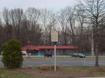
Location. 38° 47.773′ N, 77° 11.084′ W. Marker is in Springfield, Virginia, in Fairfax County. Marker is on Hechinger Drive near Backlick Road (County Route 617), on the left when traveling east. Touch for map. Marker is in this post office area: Springfield VA 22151, United States of America. Touch for directions.
Other nearby markers. At least 10 other markers are within 3 miles of this marker, measured as the crow flies. Price’s Ordinary (approx. 1.1 miles away); Orange and Alexandria Railroad (approx. 1.2 miles away); The Civilian Conservation Corps (approx. 1½ miles away); Connecting Communities and Parks (approx. 1.8 miles away); a different marker also named Orange and Alexandria Railroad (approx. 1.8 miles away); Ravensworth (approx. 2.2 miles away); a different marker also named Ravensworth (approx. 2.2 miles away); Action At Annandale (approx. 2.2 miles away); Franconia (approx. 2.2 miles away); Historic Green Spring (approx. 2.4 miles away). Touch for a list and map of all markers in Springfield.
More about this marker. Marker is at the present Virginia Railroad Express' Backlick Road commuter train station.
Regarding Springfield Station. In 1953 the Springfield Post Office was moved 1¼ miles south, near the intersection of Old Keene Mill Road and Shirley Highway—now Interstate 95.
Credits. This page was last revised on June 16, 2016. It was originally submitted on March 11, 2006, by J. J. Prats of Powell, Ohio. This page has been viewed 4,625 times since then and 118 times this year. Photos: 1, 2. submitted on March 11, 2006, by J. J. Prats of Powell, Ohio.

