Cape May in Cape May County, New Jersey — The American Northeast (Mid-Atlantic)
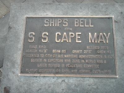
S. S. Cape May
from
S. S. Cape May
Built 1943 Retired 1969
Length 417’9” Beam 60’
Draft 27’6” Crew 49
Presented to the city by U. S. Maritime Administration in 1974
Served in European war zone in World War II
Later served in peacetime commerce
Plaque courtesy of Cape May Kiwanis Club – 1981
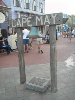
Erected 1981 by Cape May Kiwanis Club.
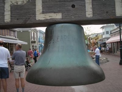
Topics and series. This historical marker is listed in these topic lists: War, World II • Waterways & Vessels. In addition, it is included in the Historic Bells series list. A significant historical year for this entry is 1943.
Location. 38° 55.994′ N, 74° 55.295′ W. Marker is in Cape May, New Jersey, in Cape May County. Marker is at the intersection of Ocean Street and Washington Street, on the left when traveling west on Ocean Street. The marker is near the north end of the Washington Street Mall in Cape May. Touch for map. Marker is in this post office area: Cape May NJ 08204, United States of America. Touch for directions.
Other nearby markers. At least 8 other markers are within walking distance of this marker. Our Lady Star of the Sea Church (within shouting distance of this marker); Edgar Arthur Draper (within shouting distance of this marker); Edwin Joseph Hill, CMH (within shouting distance of this marker); City of Cape May (within shouting distance of this marker); City of Cape May, New Jersey (within shouting distance of this marker); The Cape May Meeting of the Joint Commission on Unity Memorial (about 400 feet away, measured in a direct line); Roland E. White (about 400 feet away); The Cherry House (about 500 feet away). Touch for a list and map of all markers in Cape May.
Credits. This page was last revised on January 25, 2022. It was originally submitted on January 24, 2009, by Bill Coughlin of Woodland Park, New Jersey. This page has been viewed 1,396 times since then and 47 times this year. Photos: 1, 2, 3, 4. submitted on January 24, 2009, by Bill Coughlin of Woodland Park, New Jersey.


