North Shore in Pittsburgh in Allegheny County, Pennsylvania — The American Northeast (Mid-Atlantic)
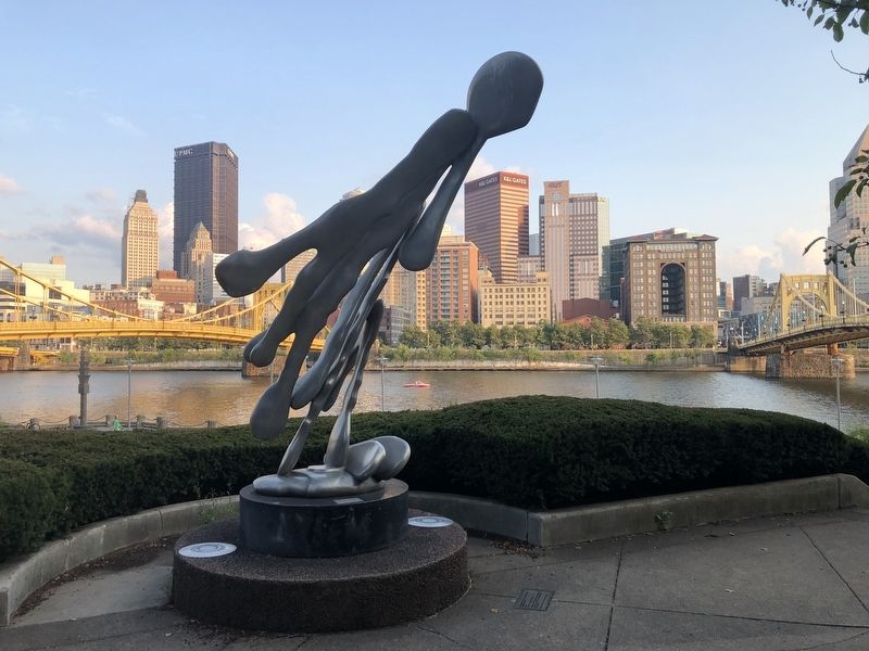
"The Forks," 1984
Isaac Witkin (American, born South Africa, 1936)
| — | Aluminum; Commissioned by Alcoa Foundation | — |
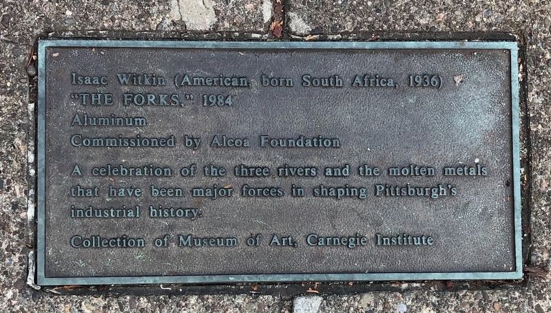
A celebration of the three rivers and the molten metals that have been major forces in shaping Pittsburgh's industrial history.
Collection of Museum of Art, Carnegie Institute
[Additional plaque on the base of the sculpture:]
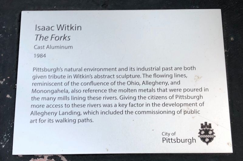
Pittsburgh's natural environment and its industrial past are both given tribute in Witkin's abstract sculpture. The flowing lines, reminiscent of the confluence of the Ohio, Allegheny, and Monongahela, also reference the molten metals that were poured in the many mills lining these rivers. Giving the citizens of Pittsburgh more access to these rivers was a key factor in the development of Allegheny Landing, which included the commissioning of public art for its walking paths.
Erected by City of Pittsburgh, Pennsylvania.
Topics. This historical marker is listed in these topic lists: Industry & Commerce • Natural Resources • Settlements & Settlers • Waterways & Vessels.
Location. 40° 26.835′ N, 80° 0.195′ W. Marker is in Pittsburgh, Pennsylvania, in Allegheny County. It is in North Shore. It can be reached from Federal Street
this page online

Regionally, this marker is in the American Northeast, in the Mid-Atlantic, in the Ohio River Valley, in Appalachia, and specifically in Northern Appalachia. Globally, it is in North America, the Western Hemisphere, the Western World, and the Anglosphere. Historically, it finds itself in what was once the Viceroyalty of New France, the Haudenosaunee (Iroquois) Confederacy, and one of the original Thirteen Colonies.
Other nearby markers. At least 8 other markers are within walking distance of this marker: "Piazza Lavoro" and "Mythic Source," 1984 (within shouting distance of this marker); Allegheny City (within shouting distance of this marker); Allegheny Cotton Mill Strikes (within shouting distance of this marker); "Pittsburgh Variations," 1984 (about 300 feet away, measured in a direct line); "The Great One" (about 300 feet away); Frederick J Osterling Office & Studio (about 700 feet away); Timber Court (about
Photographed by Devry Becker Jones (CC0), September 10, 2020
2. The additional plaque on the base of the statue
Credits. This page was last revised on February 2, 2023. It was originally submitted on September 13, 2020, by Devry Becker Jones of Washington, District of Columbia. This page has been viewed 495 times since then and 34 times this year. Photos: 1, 2, 3. submitted on September 13, 2020, by Devry Becker Jones of Washington, District of Columbia.
