Quinette Cemetery in Kirkwood in St. Louis County, Missouri — The American Midwest (Upper Plains)
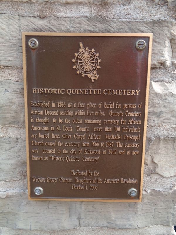
Historic Quinette Cemetery
Erected 2005 by Daughters of the American Revolution (Webster Groves chapter).
Topics and series. This historical marker is listed in these topic lists: African Americans • Cemeteries & Burial Sites • Churches & Religion. In addition, it is included in the African Methodist Episcopal (AME) Church, and the Daughters of the American Revolution series lists. A significant historical year for this entry is 1866.
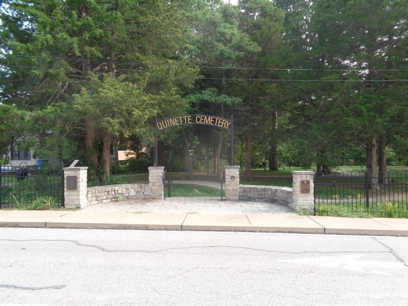
Location. 38° 34.147′ N, 90° 26.068′ W. Marker is in Kirkwood, Missouri, in St. Louis County. It is in Quinette Cemetery. Marker is on Old Big Bend Road east of South Ballas Road, on the right when traveling east. Marker is mounted at the cemetery's main entrance. Touch for map. Marker is at or near this postal address: 12180 Old Big Bend Rd, Saint Louis MO 63122, United States of America. Touch for directions.
Other nearby markers. At least 8 other markers are within 2 miles of this marker, measured as the crow flies. Quinette Cemetery (a few steps from this marker); Veteran's Memorial (within shouting distance of this marker); Greentree Park and Meramec Greenway (approx. 0.8 miles away); Meramec River Greenway - Unger Park (approx. 1.3 miles away); #9 (approx. 1.4 miles away); #750 (approx. 1.4 miles away); The Gasconade Bridge Disaster (approx. 1.4 miles away); Civil War Destruction (approx. 1.4 miles away). Touch for a list and map of all markers in Kirkwood.
Also see . . .
1. Quinette Cemetery on Wikipedia. (Submitted on September 13, 2020, by Jason Voigt of Glen Carbon, Illinois.)
2. Quinette Cemetery on Findagrave. From the user-generated cemetery website Findagrave.com, this is the profile for Quinette Cemetery. As of September 2020, there are 55 persons found and identified on this page. A nearby marker says it is not known how many interments are there, but through continued research from historians, some may be unearthed as the page progresses. (Submitted on September 13, 2020, by Jason Voigt of Glen Carbon, Illinois.)
Credits. This page was last revised on September 11, 2023. It was originally submitted on September 13, 2020, by Jason Voigt of Glen Carbon, Illinois. This page has been viewed 195 times since then and 19 times this year. Photos: 1, 2. submitted on September 13, 2020, by Jason Voigt of Glen Carbon, Illinois.

