Near Henagar in DeKalb County, Alabama — The American South (East South Central)
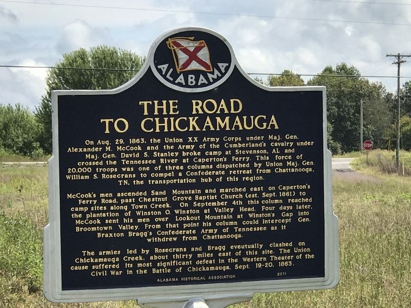
The Road to Chickamauga
McCook's men ascended Sand Mountain and marched east on Caperton's Ferry Road, past Chestnut Grove Baptist Church (est. Sept. 1861) to camp sites along Town Creek. On September 4th this column reached the plantation of Winston O. Winston at Valley Head. Four days later, McCook sent his men over Lookout Mountain at Winston's Gap into Broomtown Valley. From that point his column could intercept Gen. Braxton Bragg's Confederate Army of Tennessee as it withdrew from Chattanooga.
The armies led by Rosecrans and Bragg eventually clashed on Chickamauga Creek, about thirty miles east of this site. The Union cause suffered its most significant defeat in the Western Theater of the Civil War in the Battle of Chickamauga, Sept. 19-20, 1863.
Erected 2011 by Alabama Historical Association.
Topics and series. This historical marker is listed in this topic list: War, US Civil . In addition, it is included in the Alabama Historical Association series list. A significant historical date for this entry is August 29, 1863.
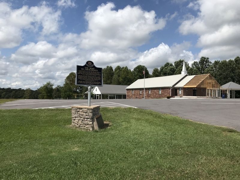
Location. 34° 39.448′ N, 85° 39.126′ W. Marker is near Henagar, Alabama, in DeKalb County. Marker is on County Road 743, 0.1 miles west of State Highway 117, on the left when traveling north. Touch for map. Marker is at or near this postal address: 454 County Road 743, Henagar AL 35978, United States of America. Touch for directions.
Other nearby markers. At least 8 other markers are within 7 miles of this marker, measured as the crow flies. Veterans Memorial (approx. 6.3 miles away); POW-MIA Memorial (approx. 6.3 miles away); Wills Town (approx. 6.3 miles away); The De Soto Trail (approx. 6.3 miles away); a different marker also named The De Soto Trail (approx. 6.3 miles away); Former Site Of Battelle (approx. 6.4 miles away); Site of Cherokee Council Tree (approx. 6˝ miles away); Town Of Mentone (approx. 6.6 miles away).
Credits. This page was last revised on September 15, 2020. It was originally submitted on September 14, 2020, by Duane and Tracy Marsteller of Murfreesboro, Tennessee. This page has been viewed 475 times since then and 47 times this year. Photos: 1, 2. submitted on September 14, 2020, by Duane and Tracy Marsteller of Murfreesboro, Tennessee. • Bernard Fisher was the editor who published this page.

