Maryland Heights in St. Louis County, Missouri — The American Midwest (Upper Plains)
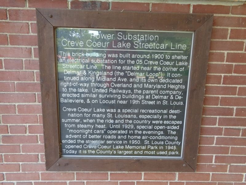
Power Substation
Creve Coeur Lake Streetcar Line
Creve Coeur Lake was a special recreational destination for many St. Louisans, especially in the summer, when the ride and the country were escapes from steamy heat. Until 1929, special open-sided "moonlight cars" operated in the evenings. The advent of better roads and home air-conditioning ended the streetcar service in 1950. St. Louis County opened Creve Coeur Lake Memorial Park in 1945. Today it is the County's largest and most used park.
Topics. This historical marker is listed in these topic lists: Parks & Recreational Areas • Railroads & Streetcars • Waterways & Vessels. A significant historical year for this entry is 1900.
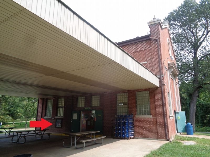
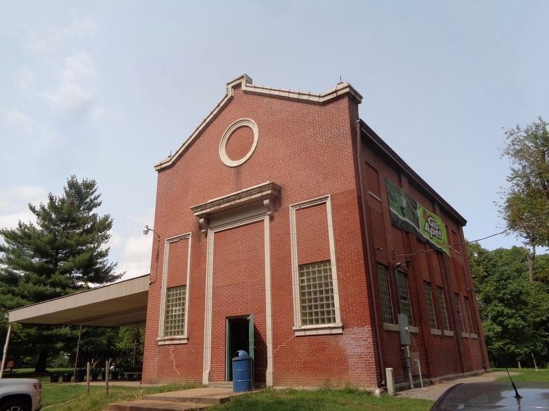
Location. 38° 42.946′ N, 90° 28.469′ W. Marker is in Maryland Heights, Missouri, in St. Louis County. Marker can be reached from Streetcar Drive, 0.4 miles north of Dorsett Road. Marker is in an open-aired pavilion, where Go Ape! Zipline & Adventure Park is located. Touch for map. Marker is at or near this postal address: 13219 Streetcar Dr, Maryland Heights MO 63043, United States of America. Touch for directions.
Other nearby markers. At least 8 other markers are within 4 miles of this marker, measured as the crow flies. Creve Coeur Lake Memorial Park - Water Trail (approx. ¼ mile away); Dripping Springs (approx. 0.4 miles away); All Gave Some, Some Gave All (approx. 2.1 miles away); Tappmeyer Homestead (approx. 3.1 miles away); Centennial Greenway - Katy Trail State Park (approx. 3.2 miles away); Stan Musial (approx. 3.4 miles away); Lake School (approx. 3.6 miles away); St. Charles Rock Road (approx. 3.6 miles away). Touch for a list and map of all markers in Maryland Heights.
Credits. This page was last revised on September 14, 2020. It was originally submitted on September 14, 2020, by Jason Voigt of Glen Carbon, Illinois. This page has been viewed 109 times since then and 14 times this year. Photos: 1, 2, 3. submitted on September 14, 2020, by Jason Voigt of Glen Carbon, Illinois.


