Near Fort Payne in DeKalb County, Alabama — The American South (East South Central)
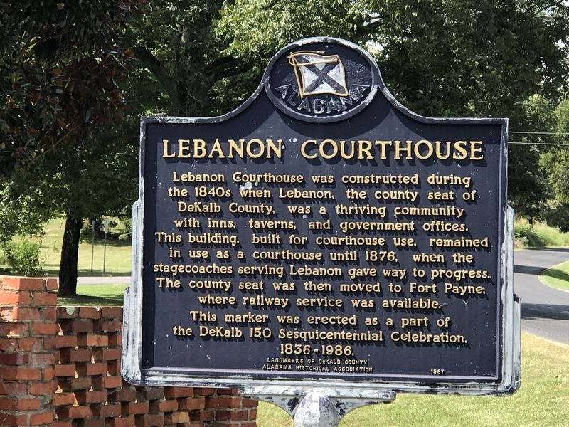
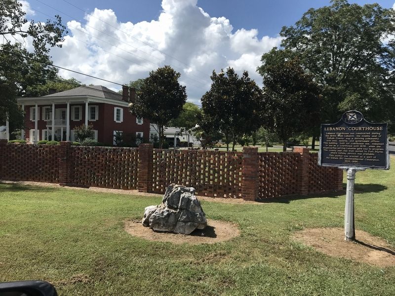
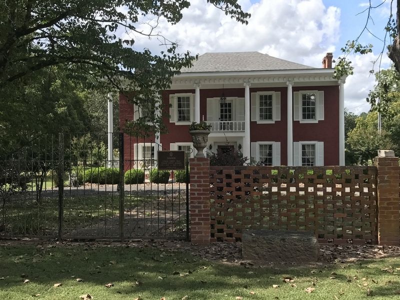
Lebanon Courthouse
This marker was erected as a part of the DeKalb 150 Sesquicentennial Celebration, 1836-1986.
Erected 1987 by Landmarks of DeKalb County and Alabama Historical Association.
Topics and series. This historical marker is listed in these topic lists: Architecture • Law Enforcement • Settlements & Settlers. In addition, it is included in the Alabama Historical Association series list. A significant historical year for this entry is 1840.
Location. 34° 21.96′ N, 85° 48.966′ W. Marker is near Fort Payne, Alabama, in DeKalb County. Marker is at the intersection of County Road 52 and County Road 293, on the left when traveling west on County Road 52. Touch for map. Marker is in this post office area: Fort Payne AL 35968, United States of America. Touch for directions.
Other nearby markers. At least 8 other markers are within 8 miles of this marker, measured as the crow flies. Lebanon (within shouting distance of this marker); Trail of Tears (approx. 6.1 miles away); Fort Payne Cabin Historic Site (approx. 7.2 miles away); Main Street Historic District (approx. 7.4 miles away); Cherokee Indian Removal (approx. 7.4 miles away); Indian Mound, Inn, and Church Site (approx. 7˝ miles away); Collinsville Historic District (approx. 7˝ miles away); Fires and Floods (approx. 7˝ miles away). Touch for a list and map of all markers in Fort Payne.
Credits. This page was last revised on September 16, 2020. It was originally submitted on September 15, 2020, by Duane and Tracy Marsteller of Murfreesboro, Tennessee. This page has been viewed 589 times since then and 111 times this year. Photos: 1, 2, 3. submitted on September 15, 2020, by Duane and Tracy Marsteller of Murfreesboro, Tennessee. • Mark Hilton was the editor who published this page.


