Tequisquiapan, Querétaro, Mexico — The Central Highlands (North America)
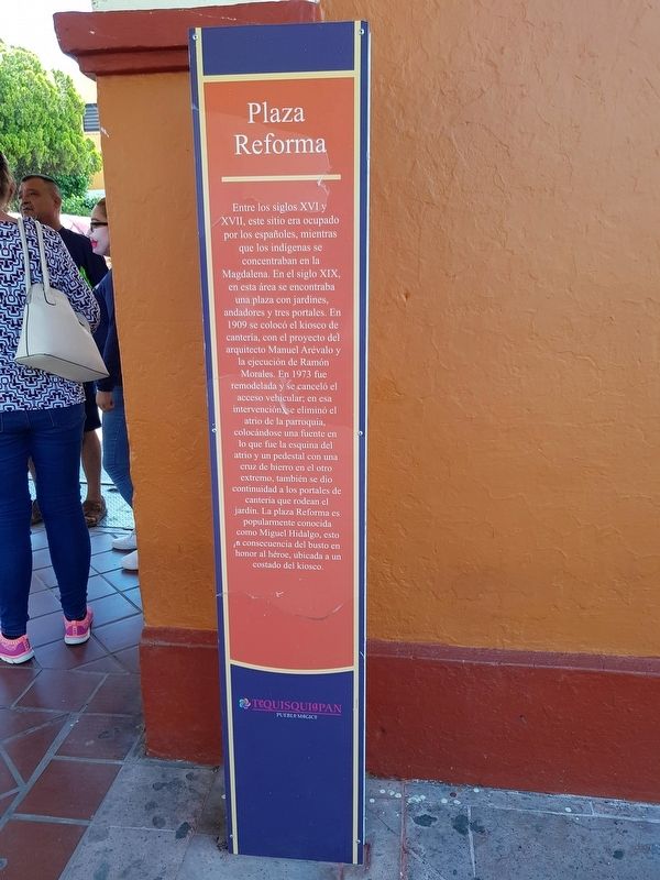
Plaza Reforma
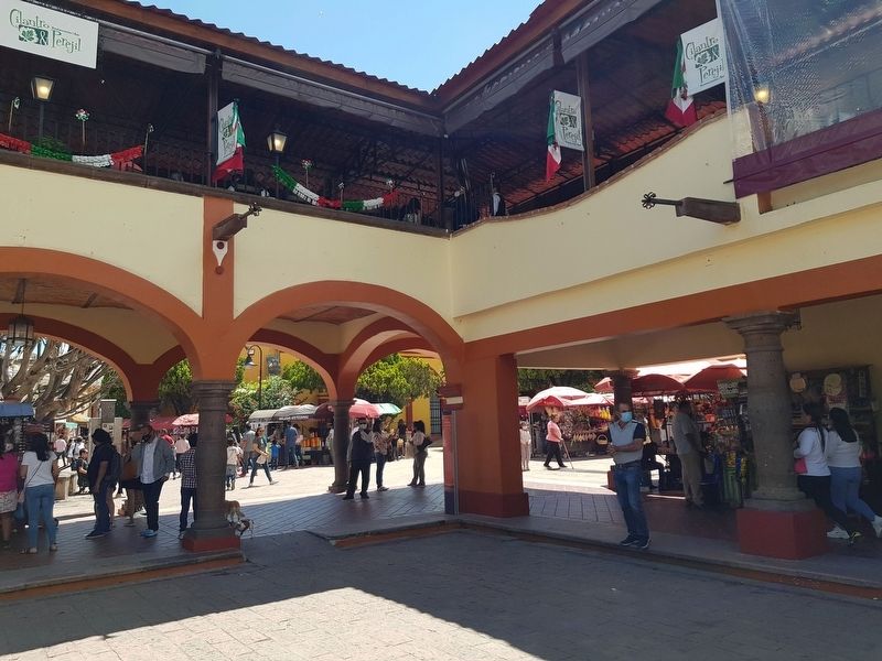
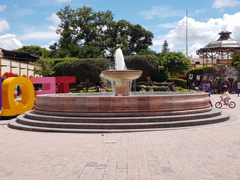
Entre los siglos XVI y XVII, este sitio era ocupado por los españoles, mientras que los indígenas se concentraban en la Magdalena. En el siglo XIX, en esta área se encontraba una plaza con jardines andadores y tres portales. En 1909 se colocó el kiosco de cantería, con el proyecto del arquitecto Manuel Arévalo y la ejecución de Ramón Morales. En 1973 fue remodelada y se canceló el acceso vehicular, en esa intervención se eliminó el atrio de la parroquia colocándose una fuente en lo que fue la esquina del atrio y un pedestal con una cruz de hierro en el otro extremo, también se dio continuidad a los portales de cantería que rodean el jardín. La plaza Reforma es popularmente conocida como Miguel Hidalgo, esto a consecuencia del busto en honor al héroe, ubicada a un costado del kiosco.
The Reform Plaza
Between the sixteenth and seventeenth centuries this site was occupied by the Spaniards, while the indigenous people concentrated in the Magdalena. In the nineteenth century in this area was a square with gardens and three portals. In 1909 the stonework kiosk was placed, with the project under the planning of the architect Manuel Arévalo and executed by Ramón Morales. In 1973 it was remodeled and the vehicular access was eliminated. In that intervention the atrium of the parish was eliminated by placing a fountain in what was the corner of the atrium and a pedestal with an iron cross at the other end. The stone portals surrounding the garden were also completed. The Reform Plaza is popularly known as Miguel Hidalgo Plaza, as a result of the bust in honor of the hero located on the side of the kiosk.
Topics. This historical marker is listed in these topic lists: Churches & Religion • Colonial Era • Parks & Recreational Areas. A significant historical year for this entry is 1909.
Location. 20° 31.331′ N, 99° 53.519′ W. Marker is in Tequisquiapan, Querétaro. Marker is at the intersection of Calle Niños Héroes and Morelos Norte, on the right when traveling east on Calle Niños Héroes. Touch for map. Marker is in this post office area: Tequisquiapan QUE 76750, Mexico. Touch for directions.
Other nearby markers. At least 8 other markers are within 8 kilometers of this marker, measured as the crow flies. Municipal Auditorium (within shouting distance of this marker); First Public Education in Tequisquiapan (within shouting distance of this marker); Miguel Hidalgo y Costilla (within shouting distance of this marker); Parish of Santa María de la Asunción
(about 90 meters away, measured in a direct line); Salvador Michaus Marroquín (about 150 meters away); The Legend of the Baroness (about 180 meters away); The Geographical Center of Mexico (about 210 meters away); La Trinidad Natural Protected Area (approx. 7.5 kilometers away). Touch for a list and map of all markers in Tequisquiapan.
Credits. This page was last revised on September 16, 2020. It was originally submitted on September 16, 2020, by J. Makali Bruton of Accra, Ghana. This page has been viewed 67 times since then and 6 times this year. Photos: 1, 2, 3. submitted on September 16, 2020, by J. Makali Bruton of Accra, Ghana.


