Port Isabel in Cameron County, Texas — The American South (West South Central)
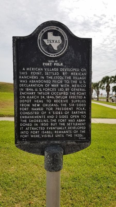
Site of Fort Polk
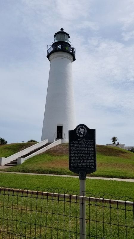
A Mexican village developed on this point, settled by Mexican ranchers in the 1700s. The village was abandoned prior to the U.S. declaration of war with Mexico in 1846. U.S. forces led by General Zachary Taylor occupied the point on March 24, 1846. Taylor erected a depot here to receive supplies from New Orleans. The six-sided fort, named for President Polk, consisted of 4 sides of earthen embankments and 2 sides open to the shoreline. The fort was abandoned in 1850 but the settlement it attracted eventually developed into Port Isabel. Remnants of the Fort were visible until the 1920s.
Erected 1995 by Texas Historical Commission. (Marker Number 4796.)
Topics. This historical marker is listed in these topic lists: Forts and Castles • Settlements & Settlers • War, Mexican-American • Waterways & Vessels. A significant historical date for this entry is March 24, 1846.
Location. 26° 4.653′ N, 97° 12.461′ W. Marker is in Port Isabel, Texas, in Cameron County. Marker is at the intersection of North Tarnava Street and East Queen Isabella Boulevard, on the right when traveling north on North Tarnava Street. Touch for map. Marker is in this post office area: Port Isabel TX 78578, United States of America. Touch for directions.
Other nearby markers. At least 8 other markers are within walking distance of this marker. Point Isabel Lighthouse (within shouting distance of this marker); A View from the Top (within shouting distance of this marker); Old Point Isabel Lighthouse (within shouting distance of this marker); Port of Matamoros (about 400 feet away, measured in a direct line); Port Isabel, C.S.A. (about 400 feet away); Charles Champion (about 500 feet away); Queen Isabel Inn (approx. 0.2 miles away); Port Isabel Cemetery (approx. 0.2 miles away). Touch for a list and map of all markers in Port Isabel.
Also see . . . Fort Polk History. TSHA Texas State Historical Association (Submitted on September 17, 2020, by James Hulse of Medina, Texas.)
Credits. This page was last revised on September 17, 2020. It was originally submitted on September 16, 2020, by James Hulse of Medina, Texas. This page has been viewed 261 times since then and 35 times this year. Photos: 1. submitted on September 16, 2020, by James Hulse of Medina, Texas. 2. submitted on September 17, 2020, by James Hulse of Medina, Texas. • J. Makali Bruton was the editor who published this page.

