Rainbow City in Etowah County, Alabama — The American South (East South Central)
Old Harmony Cemetery
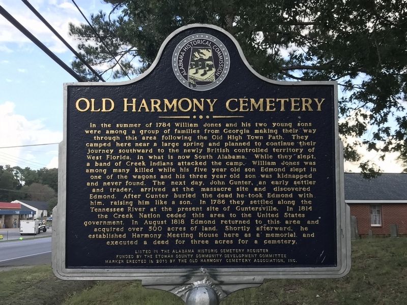
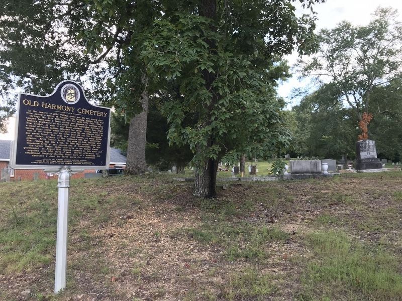
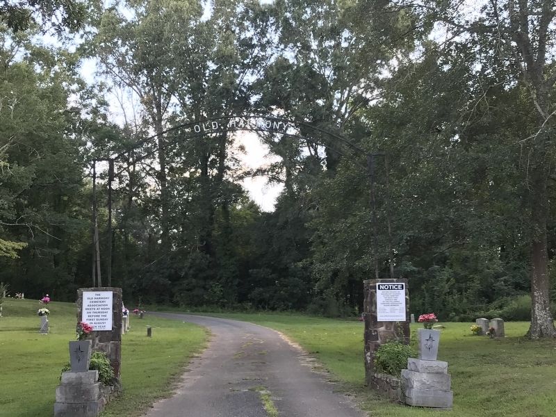
In the summer of 1784 William Jones and his two young sons were among a group of families from Georgia making their way through this area following the Old High Town Path. They camped here near a large spring and planned to continue their journey southward to the newly British controlled territory of West Florida, in what is now South Alabama. While they slept, a band of Creek Indians attacked the camp. William Jones was among many killed while his five-year-old son Edmond slept in one of the wagons and his three-year-old son was kidnapped and never found. The next day, John Gunter, an early settler and trader, arrived at the massacre site and discovered Edmond. After Gunter buried the dead he took Edmond with him, raising him like a son. In 1786 they settled along the Tennessee River at the present site of Guntersville. In 1814 the Creek Nation ceded this area to the United States government. In August 1818 Edmond returned to this area and acquired over 500 acres of land. Shortly afterward, he established Harmony Meeting House here as a memorial and executed a deed for three acres for a cemetery.
Listed in the Alabama Historic Cemetery Register
Funded by the Etowah County Community Development Committee
Erected 2010 by Old Harmony Cemetery Association, Inc. and Alabama Historical Association.
Topics. This historical marker is listed in these topic lists: Cemeteries & Burial Sites • Churches & Religion • Colonial Era • Disasters. A significant historical year for this entry is 1784.
Location. 33° 56.969′ N, 86° 2.999′ W. Marker is in Rainbow City, Alabama, in Etowah County. Marker is on Rainbow Drive (U.S. 411) east of Peteet Street, on the right when traveling east. Touch for map. Marker is at or near this postal address: 3820 Rainbow Dr, Rainbow City AL 35906, United States of America. Touch for directions.
Other nearby markers. At least 8 other markers are within 5 miles of this marker, measured as the crow flies. Site of 1784 Indian Massacre (here, next to this marker); Harmony Baptist Church (a few steps from this marker); Southern Hill Cemetery (approx. 4.1 miles away); Sisters Missionary Servants Of The Most Blessed Trinity (approx. 4.7 miles away); Eleventh Street School (approx. 4.8 miles away); Camp Sibert (approx. 4.9 miles away); Gunn-Bellenger House (approx. 4.9 miles away); Gadsden Municipal Amphitheatre (approx. 4.9 miles away). Touch for a list and map of all markers in Rainbow City.
Credits. This page was last revised on September 21, 2020. It was originally submitted on September 17, 2020, by Duane and Tracy Marsteller of Murfreesboro, Tennessee. This page has been viewed 766 times since then and 69 times this year. Photos: 1. submitted on September 17, 2020, by Duane and Tracy Marsteller of Murfreesboro, Tennessee. 2. submitted on September 20, 2020, by Duane and Tracy Marsteller of Murfreesboro, Tennessee. 3. submitted on September 17, 2020, by Duane and Tracy Marsteller of Murfreesboro, Tennessee. • Mark Hilton was the editor who published this page.


