Near Spotsylvania Courthouse in Spotsylvania County, Virginia — The American South (Mid-Atlantic)
Laurel Hill
The Battle of Spotsylvania Court House
— Fredericksburg and Spotsylvania National Military Park —
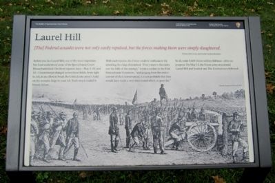
[The] Federal assaults were not only easily repulsed, but the forces making them were simply slaughtered. Private John Coxe, 2nd South Carolina Infantry
Before you lies Laurel Hill, one of the most important but least understood areas of the Spotsylvania Court House battlefield. On three separate days—May 8, 10, and 12—Union troops charged across these fields, from right to left, in an effort to break the Confederate army’s hold on the wooded ridge to your left. Each attack ended in bloody failure. With each repulse, the Union soldiers’ enthusiasm for attacking the ridge diminished. “Every man in the ranks saw the folly of the attempt,” wrote a soldier in the 83rd Pennsylvania Volunteers, “and judging from the undercurrent of their conversation, it is not probable that they would have made a very determined effort, or gone far.”
In all, some 5,000 Union soldiers fell here—all to no purpose. On May 13, the Union army abandoned Laurel Hill and headed east. The Confederates followed.
(caption)
Union troops at Laurel Hill
Erected by National Park Service, U.S. Department of the Interior.
Topics. This historical marker is listed in this topic list: War, US Civil. A significant day of the year for for this entry is May 8.
Location. 38° 13.076′ N, 77° 36.874′ W. Marker is near Spotsylvania Courthouse, Virginia, in Spotsylvania County. Marker is at the intersection of Grant Drive and Brock Road, on the right when traveling south on Grant Drive. Touch for map. Marker is at or near this postal address: 8116 Brock Rd, Spotsylvania VA 22553, United States of America. Touch for directions.
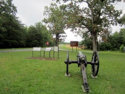
Other nearby markers. At least 8 other markers are within walking distance of this marker. The Race for Spotsylvania Court House (here, next to this marker); The Death of Sedgwick (a few steps from this marker); Sedgwick (a few steps from this marker); Laurel Hill Trail (a few steps from this marker); Spotsylvania Campaign (a few steps from this marker); a different marker also named Spotsylvania Campaign (a few steps from this marker); a different marker also named The Death of Sedgwick (within shouting distance of this marker); A Different Kind of War (about 400 feet away, measured in a direct line). Touch for a list and map of all markers in Spotsylvania Courthouse.
Also see . . . Fredericksburg & Spotsylvania National Military Park. National PaArk Service (Submitted on June 24, 2013.)
Credits. This page was last revised on November 14, 2021. It was originally submitted on June 24, 2013, by Bernard Fisher of Richmond, Virginia. This page has been viewed 831 times since then and 32 times this year. Last updated on September 18, 2020, by Bradley Owen of Morgantown, West Virginia. Photos: 1, 2. submitted on June 24, 2013, by Bernard Fisher of Richmond, Virginia.

