Near Franklin in Williamson County, Tennessee — The American South (East South Central)
West Harpeth Primitive Baptist Church
Celebrating 150 Years — Sunday, October 27, 2019
Inscription.
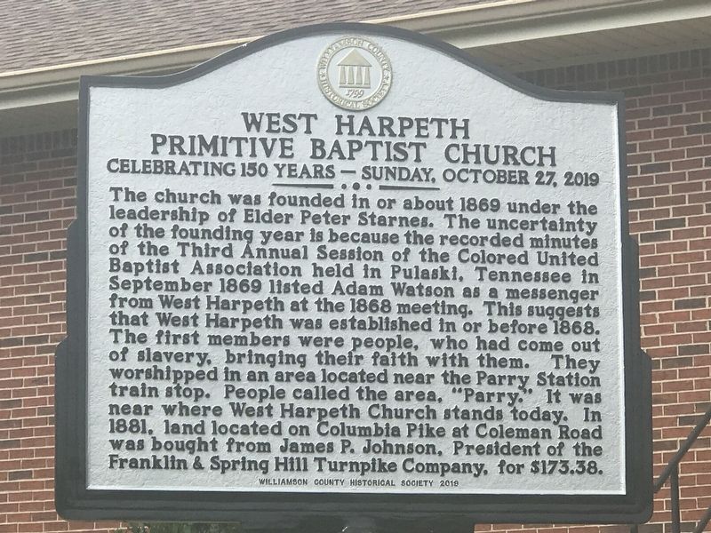
The church was founded in or about 1869 under the leadership of Elder Peter Starnes. The uncertainty of the founding year is because the recorded minutes of the Third Annual Session of the Colored United Baptist Association held in Pulaski, Tennessee in September 1869 listed Adam Watson as a messenger from West Harpeth at the 1868 meeting. This suggests that West Harpeth was established in or before 1868. The first members were people, who had come out of slavery, bringing their faith with them. They worshipped in an area located near the Parry Station train stop. People called the area, "Parry." It was near where West Harpeth Church stands today. In 1881, land located on Columbia Pike at Coleman Road was bought from James P. Johnson, President of the Franklin & Spring Hill Turnpike Company, for $173.38.
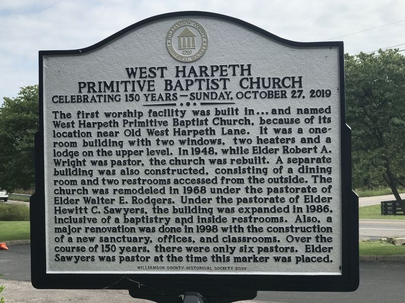
The first worship facility was built in … and named West Harpeth Primitive Baptist Church, because of its location near Old West Harpeth Lane. It was a one-room building with two windows, two heaters and a lodge on the upper level. In 1948, while Elder Robert A. Wright was pastor, the church was rebuilt. A separate building was also constructed, consisting of a dining room and two restrooms accessed from the outside. The church was remodeled in 1968 under the pastorate of Elder Walter E. Rodgers. Under the pastorate of Elder Hewitt C. Sawyers, this building was expanded in 1986, inclusive of a baptistry and inside restrooms. Also, a major renovation was done in 1996 with the construction of a new sanctuary, offices, and classrooms. Over the course of 150 years, there were only six pastors. Elder Sawyers was pastor at the time this marker was placed.
Erected 2019 by Williamson County Historical Society.
Topics and series. This historical marker is listed in these topic lists: African Americans • Churches & Religion. In addition, it is included in the Tennessee – Williamson County Historical Society series list. A significant historical year for this entry is 1869.
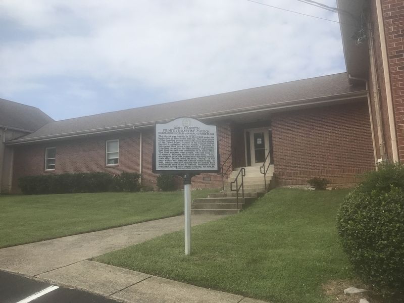
Location. 35° 52.405′ N, 86° 53.008′ W. Marker is near Franklin, Tennessee, in Williamson County. Marker is on Columbia Pike (U.S. 31) north of Coleman Road, on the left when traveling north. Touch for map. Marker is at or near this postal address: 4141 Columbia Pike, Franklin TN 37064, United States of America. Touch for directions.
Other nearby markers. At least 8 other markers are within one mile of this marker, measured as the crow flies. "The Harrison House" (approx. 0.6 miles away); Edward Swanson (approx. 0.9 miles away); Alabama (approx. 1.1 miles away); Battle of Franklin (approx. 1.1 miles away); Cockrell's Missouri Brigade CSA (approx. 1.1 miles away); The Confederate Soldier
(approx. 1.1 miles away); Arkansas (approx. 1.1 miles away); Major General Patrick R. Cleburne CSA (approx. 1.1 miles away). Touch for a list and map of all markers in Franklin.
Credits. This page was last revised on September 20, 2020. It was originally submitted on September 20, 2020, by Duane and Tracy Marsteller of Murfreesboro, Tennessee. This page has been viewed 228 times since then and 22 times this year. Photos: 1, 2, 3. submitted on September 20, 2020, by Duane and Tracy Marsteller of Murfreesboro, Tennessee. • Devry Becker Jones was the editor who published this page.


