Iron Station in Lincoln County, North Carolina — The American South (South Atlantic)
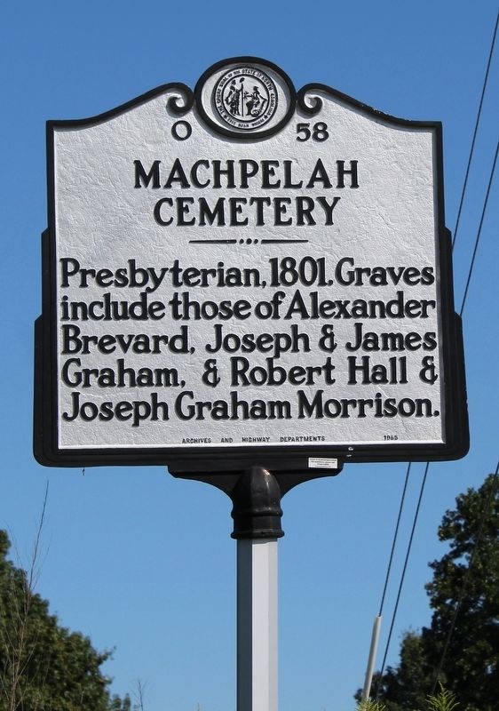
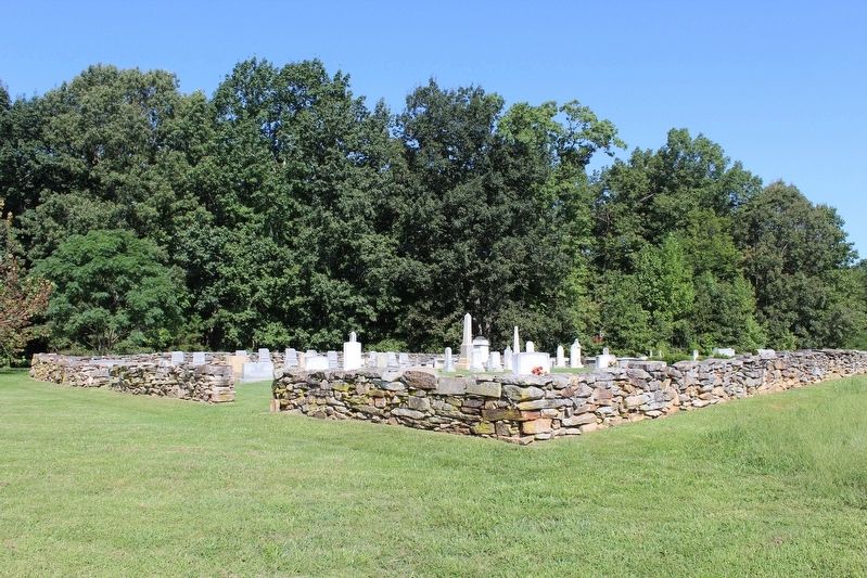
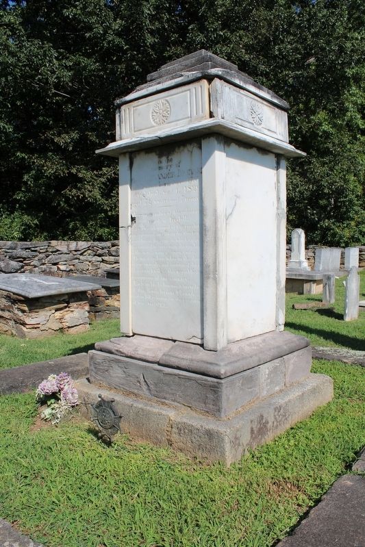
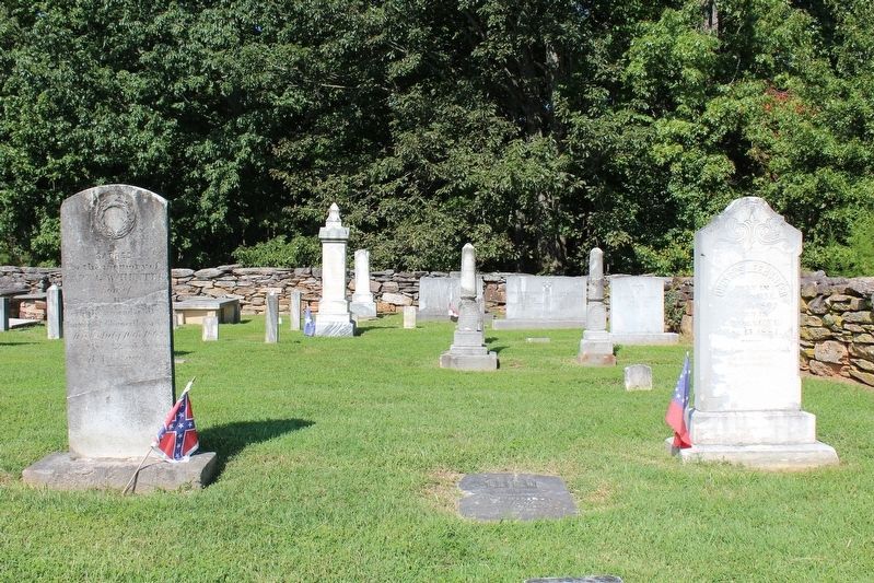
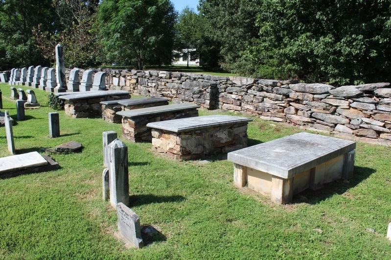
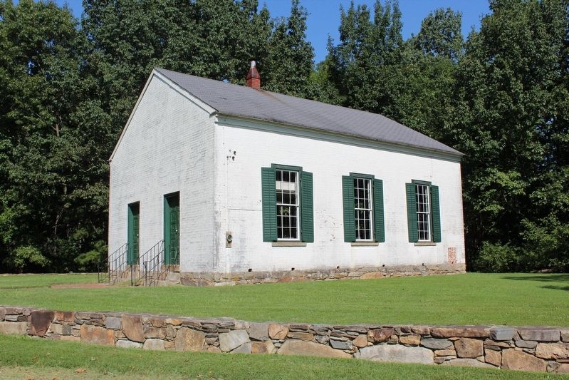
Machpelah Cemetery
Erected 1965 by North Carolina Archives and History Departments. (Marker Number O-58.)
Topics and series. This historical marker is listed in these topic lists: Cemeteries & Burial Sites • Churches & Religion. In addition, it is included in the North Carolina Division of Archives and History series list. A significant historical year for this entry is 1801.
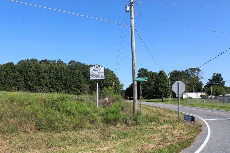
Location. 35° 27.964′ N, 81° 5.302′ W. Marker is in Iron Station, North Carolina, in Lincoln County. Marker is at the intersection of Old Plank Road and Brevard Place Road (County Highway 1360), on the left when traveling north on Old Plank Road. Touch for map. Marker is at or near this postal address: 226 Brevard Place Rd, Iron Station NC 28080, United States of America. Touch for directions.
Other nearby markers. At least 8 other markers are within 6 miles of this marker, measured as the crow flies. Catawba Springs (approx. 0.2 miles away); William A. Graham (approx. 1.4 miles away); Ingleside (approx. 2.9 miles away); Peter Forney (approx. 3.2 miles away); Cottage Home (approx. 3.7 miles away); Stonewall Jackson (approx. 3.7 miles away); Iron Works (approx. 4.1 miles away); Andrew Carpenter House (approx. 5.7 miles away). Touch for a list and map of all markers in Iron Station.
Credits. This page was last revised on September 29, 2020. It was originally submitted on September 20, 2020, by Tom Bosse of Jefferson City, Tennessee. This page has been viewed 506 times since then and 80 times this year. Photos: 1, 2, 3, 4, 5. submitted on September 20, 2020, by Tom Bosse of Jefferson City, Tennessee. 6, 7. submitted on September 23, 2020, by Tom Bosse of Jefferson City, Tennessee. 8. submitted on September 20, 2020, by Tom Bosse of Jefferson City, Tennessee. • Bernard Fisher was the editor who published this page.
