Crescenta Highlands in Glendale in Los Angeles County, California — The American West (Pacific Coastal)
Crescenta Valley Park
German-American History
Photographed by Craig Baker, May 13, 2019
1. Crescenta Valley Park Marker
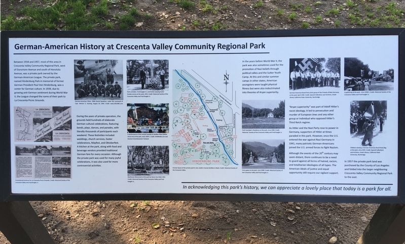
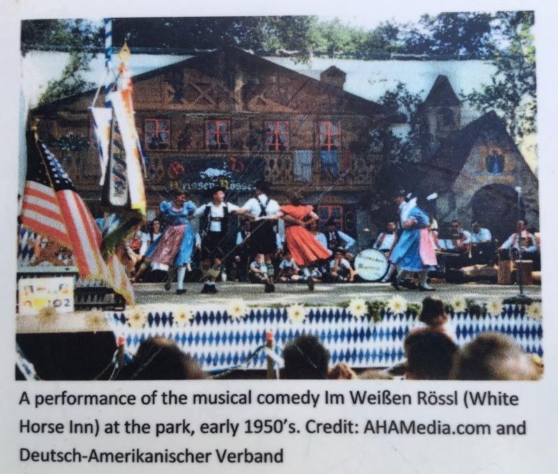
During the years of private operation, the grounds held hundreds of elaborate German cultural celebrations, featuring bands, plays, dances, and parades, with literally thousands of participants each weekend. These festivities included weddings, church services, Easter celebrations, Mayfest, and Oktoberfest. A kitchen at the park, along with food and beverage vendors provided traditional German fare for every occasion. Although the private park was used for many joyful celebrations, it was also used for more controversial activities.
In the years before World War II, the park was also sometimes used for the promotion of Nazi beliefs through political
this page online
Although the events of the 20th century may seem distant, there continues to be a need to guard against all forms of hatred, racism, and totalitarian ideologies of all types. The American ideals of justice and equal opportunity still require our vigilant support.
In 1957 the private park land was purchased by the County of Los Angeles and folded into the larger neighboring Crescenta Valley Community Regional Park to the east.
Erected by Los Angeles County Parks.
Topics. This memorial
Photographed by Craig Baker, May 13, 2019
2. Crescenta Valley Park and Marker
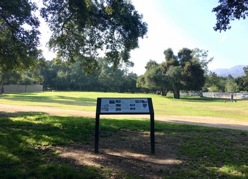
Location. 34° 13.479′ N, 118° 15.501′ W. Memorial is in Glendale, California, in Los Angeles County. It is in Crescenta Highlands. It can be reached from Dunsmore Avenue south of Honolulu Avenue, on the right when traveling south. Located south of the storm channel. Touch for map. Memorial is at or near this postal address: 3901 Dunsmore Ave, La Crescenta CA 91214, United States of America. Touch for directions.

Regionally, this memorial is in The Valley (the San Fernando Valley), in Greater Los Angeles, and in the Transverse Ranges. It is also on the American Pacific Coast. Globally, it is in North America, on the Ring of Fire, on the Pacific Rim, in the Western Hemisphere, in the Western World, and in the Anglosphere. Historically, it finds itself in what was once New Spain and also Mexico’s Alta California.
Other nearby markers. At least 8 other markers are within 2 miles of this marker, measured as the crow flies: Anderson W. Clark (approx. 0.9 miles away); Tuna Canyon Detention Station (approx.
Historical Society of Crescenta Valley
3. Map on Marker
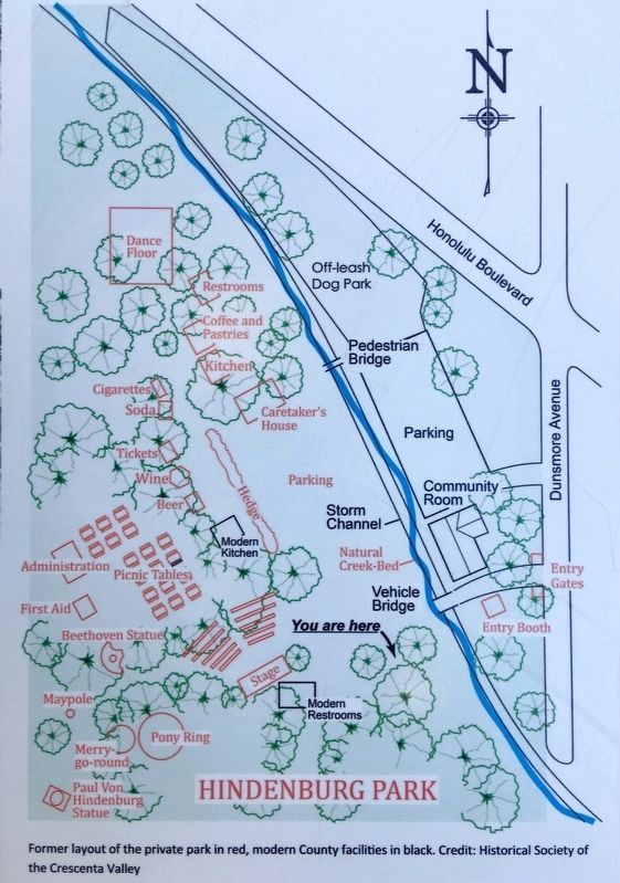
Former layout of the private park in red, modern County facilities in black.
Photographed by AHAMedia.com & Deutsch-Amerikanischer Verband
4. Photo on Marker
A performance of the musical comedy Im WeiBen Rössl (White Horse Inn) at the park, early 1950's.
Credits. This page was last revised on February 7, 2023. It was originally submitted on May 15, 2019. This page has been viewed 4,036 times since then and 274 times this year. Last updated on September 20, 2020, by Craig Baker of Sylmar, California. Photos: 1, 2, 3, 4. submitted on May 15, 2019, by Craig Baker of Sylmar, California. • J. Makali Bruton was the editor who published this page.
