
Lake Mary in Seminole County, Florida — The American South (South Atlantic)
Markham
Photographed By Brandon D Cross, September 13, 2020
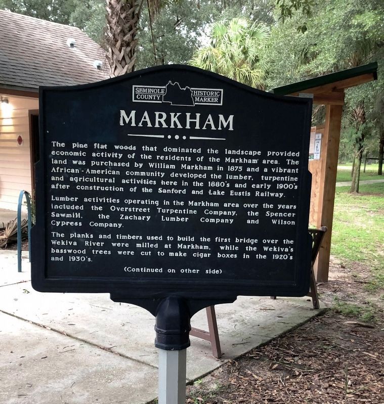
1. Markham Marker (Side 1)
(Side 1)
The pine flat woods that dominated the landscape provided economic activity of the residents of the Markham area. The land was purchased by William Markham in 1875 and a vibrant African-American community developed the lumber, turpentine and agricultural activities here in the 1880’s and early 1900’s after construction of the Sanford and Lake Eustis Railway.
Lumber activities operating in the Markham area over the years included the Overstreet Turpentine Company, the Spencer Sawmill, the Zachary Lumber Company, and Wilson Cypress Company.
The planks and timbers used to build the first bridge over the Wekiva River were milled at Markham, while the Wekiva’s basswood trees were cut to make cigar boxes in the 1920’s and 1930’s.
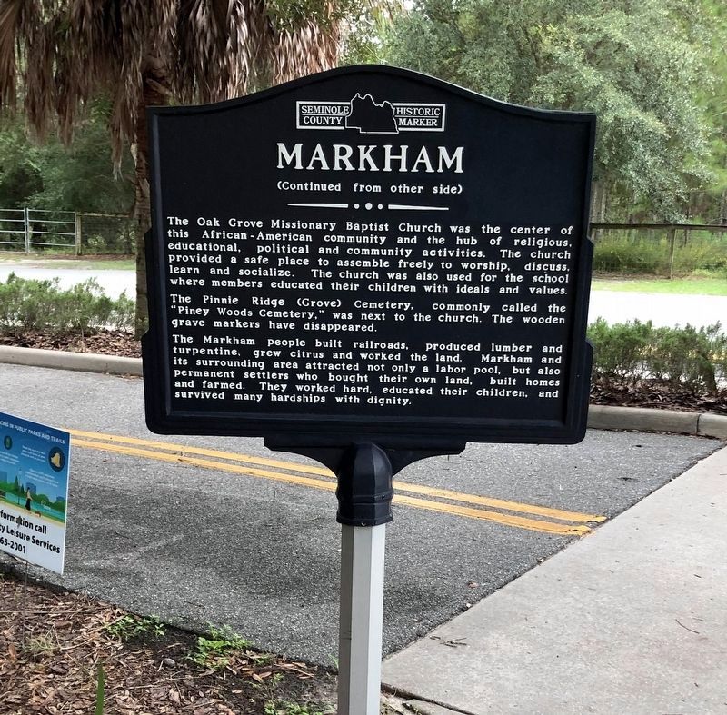
The Pinnie Ridge (Grove) Cemetery, commonly called the “Piney Woods Cemetery,” was next
this page online
The Markham people built railroads, produced lumber and turpentine, grew citrus and worked the land. Markham people built railroads, produced lumber and turpentine, grew citrus and worked the land. Markham and its surrounding area attracted not only a labor pool, but also permanent settlers who bought their own land, built homes and farmed. They worked hard, educated their children, and survived many hardships with dignity.
Erected by Seminole County.
Topics. This historical marker is listed in these topic lists: Agriculture • Horticulture & Forestry • Industry & Commerce • Settlements & Settlers.
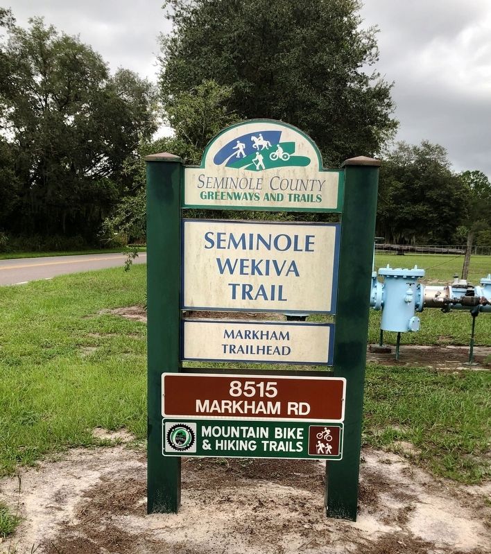
Location. 28° 47.498′ N, 81° 23.869′ W. Marker is in Lake Mary, Florida, in Seminole County. Marker is on Markham Road, 0.2 miles west of Brackenhurst Place, on the left when traveling west. Located at the Markham Trailhead of the Seminole Wekiva Trail. Touch for map. Marker is at or near this postal address: 8515 Markham Road, Lake Mary FL 32746, United States of America. Touch for directions.
Other nearby markers. At least 8 other markers are within 5 miles of this marker, measured as the crow flies. Turpentine Industry (approx. 0.9 miles away); Michelle Akers (approx. 0.9 miles away); Sylvan Lake Park (approx.
Photographed By Brandon D Cross, September 13, 2020
2. Markham Marker( Side 2)
Photographed By Brandon D Cross, September 13, 2020
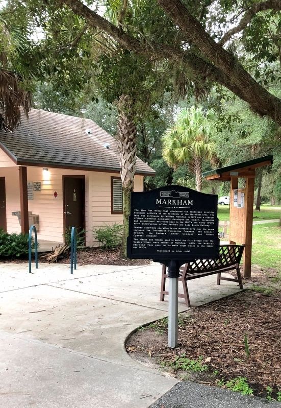
3. Markham Marker
Photographed By Brandon D Cross, September 13, 2020
4. Markham Marker
Credits. This page was last revised on October 6, 2020. It was originally submitted on September 20, 2020, by Brandon D Cross of Flagler Beach, Florida. This page has been viewed 427 times since then and 68 times this year. Photos: 1, 2, 3, 4. submitted on September 20, 2020, by Brandon D Cross of Flagler Beach, Florida. • Bernard Fisher was the editor who published this page.

