Plantation Life in the Colonial Era
Mount Harmon Plantation
Plantation Life
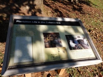
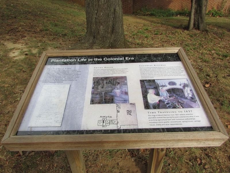
In the colonial era Mount Harmon was a working plantation. A community of people lived at Mount Harmon during the 18th century including the landowners, indentured servants, slaves, and tradespeople. Inventories from the Heath and Louttit families paint a picture of life at Mount Harmon at this time. There were dozens of cows, horses, sheep, hogs, and chickens, and producing food for all who lived and worked on the plantation was a year round job.
Smoke House
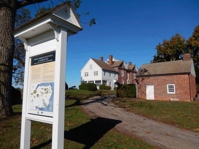
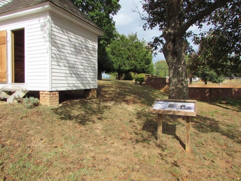
The white clapboard building before you is a recreated smokehouse, which was used to cure meats prior to electricity and refrigeration. Today the smokehouse is used for living demonstrations and to reflect Mount Harmon’s plantation era.
Colonial Kitchen
The brick building beside the smokehouse is a colonial out-kitchen, with a large hearth and full complement of cooking tools. The kitchen was a separate building on many plantations, to keep the heat and risk of fire away from the main house. The out-kitchen was listed on Mount Harmon’s 1837 fire insurance survey. Today the colonial kitchen is used for education and hearth cooking programs, demonstrations and is a popular destination for school field trips and special events.
[Inscription on the lower right, to right of the map image]
Time Traveling to
1837
This map of Mount Harmon from 1837 reflects what the plantation looked like during the post-colonial era when it was a working agricultural farm with numerous outbuildings, including a brick quarter, smokehouse, spring house, carriage house, stable and other dependencies.
Topics. This historical marker is listed in these topic lists: Colonial Era • Patriots & Patriotism • Settlements & Settlers.
Location. 39° 22.919′ N, 75° 56.161′ W. Marker is near Earleville, Maryland, in Cecil County. Marker is on Mount Harmon Road. Touch for map. Marker is in this post office area: Earleville MD 21919, United States of America. Touch for directions.
Other nearby markers. At least 8 other markers are within walking distance of this marker. Mount Harmon Plantation at World’s End (within shouting distance of this marker); a different marker also named Mount Harmon Plantation at World's End (within shouting distance of this marker); Tobacco and Mount Harmon (about 300 feet away, measured in a direct line); a different marker also named Mount Harmon Plantation at World's End (approx. 0.2 miles away); The Sassafras River (approx. 0.2 miles away); History Quest (approx. ¼ mile away); On the Wild Side (approx. ¼ mile away); Hilltop View (approx. 0.3 miles away). Touch for a list and map of all markers in Earleville.
Regarding Plantation Life in the Colonial Era.
Credits. This page was last revised on September 21, 2020. It was originally submitted on November 17, 2015. This page has been viewed 373 times since then and 20 times this year. Last updated on September 21, 2020, by Carl Gordon Moore Jr. of North East, Maryland. Photos: 1. submitted on November 17, 2015, by Don Morfe of Baltimore, Maryland. 2. submitted on October 13, 2019, by Bill Coughlin of Woodland Park, New Jersey. 3, 4, 5. submitted on November 17, 2015, by Don Morfe of Baltimore, Maryland. 6. submitted on October 13, 2019, by Bill Coughlin of Woodland Park, New Jersey. • J. Makali Bruton was the editor who published this page.
