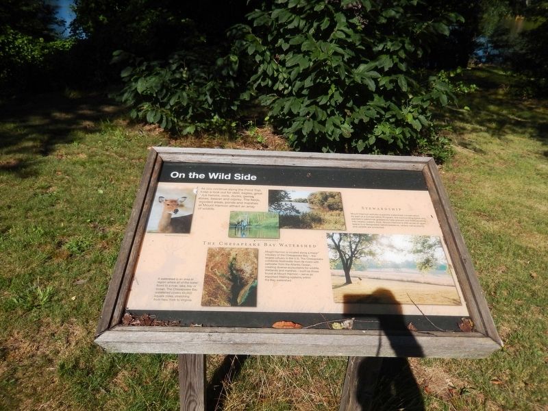
On the Wild Side
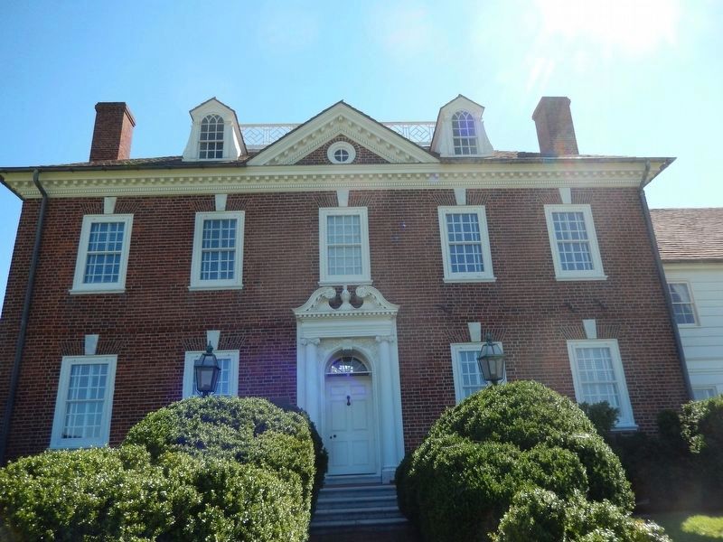
[Mount Harmon Plantation]
The Chesapeake Bay Watershed
Mount Harmon is located along a major tributary of the Chesapeake Bay — the largest estuary in the U. S. The Chesapeake combines freshwater from its rivers with saltwater from the Atlantic Ocean, creating diverse ecosystems for wildlife. Wetlands and marshes — such as those found at Mount Harmon — serve as important filtering systems within the Bay watershed.
[Inscription beside the image in the lower left]
A watershed is an area or region where all of the water flows to a river, lake, or bay or ocean. The Chesapeake Bay watershed covers 64,000 square miles, stretching from New York to Virginia.
Stewardship
Mount Harmon actively supports watershed conservation. As part of a Conservation Program, the surrounding fields are planted in perennial grasses to help prevent soil from eroding into nearby waters. Also, Mount Harmon’s 200 acres of open space is a designated nature preserve, where native plants and wildlife are protected.
[photo caption, top left] White-tailed deer, Michael Land photo
[photo
caption, top center] Great blue heron, Michael Land photo
Topics. This historical marker is listed in these topic lists: Animals • Environment • Waterways & Vessels.
Location. 39° 22.953′ N, 75° 56.455′ W. Marker is in Earleville, Maryland, in Cecil County. Marker is on Mount Harmon Road. The marker is located along the Pond Trail at Mount Harmon Plantation. Touch for map. Marker is at or near this postal address: 600 Mount Harmon Road, Earleville MD 21919, United States of America. Touch for directions.
Other nearby markers. At least 8 other markers are within walking distance of this marker. Hilltop View (about 400 feet away, measured in a direct line); History Quest (about 700 feet away); Mount Harmon Plantation at World's End (approx. 0.2 miles away); Tobacco and Mount Harmon (approx. ¼ mile away); a different marker also named Mount Harmon Plantation at World’s End (approx. ¼ mile away); Plantation Life in the Colonial Era (approx. ¼ mile away); The Sassafras River (approx. 0.3 miles away); a different marker also named Mount Harmon Plantation at World's End (approx. 0.3 miles away). Touch for a list and map of all markers in Earleville.
Credits. This page was last revised on September 21, 2020. It was originally submitted on August 9, 2016. This page has been viewed 259 times since then and 20 times this year. Last updated on September 21, 2020, by Carl Gordon Moore Jr. of North East, Maryland. Photos: 1, 2, 3. submitted on August 9, 2016, by Don Morfe of Baltimore, Maryland. • J. Makali Bruton was the editor who published this page.


