Hannibal in Marion County, Missouri — The American Midwest (Upper Plains)
City Hall Site
Photographed by William Fischer, Jr., September 15, 2020
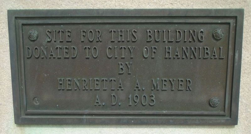
1. City Hall Site Marker
donated to City of Hannibal
by
Henrietta A. Meyer
A. D. 1903
Topics. This historical marker is listed in these topic lists: Charity & Public Work • Women. A significant historical year for this entry is 1903.
Location. 39° 42.536′ N, 91° 21.48′ W. Marker is in Hannibal, Missouri, in Marion County. It is at the intersection of Broadway (Business U.S. 36) and 4th Street, on the right when traveling west on Broadway. Touch for map. Marker is at or near this postal address: 320 Broadway, Hannibal MO 63401, United States of America. Touch for directions.

Regionally, this marker is in Mark Twain Country. It is also in the American Midwest, in the Lewis & Clark Corridor, in the Corn Belt, and in the Great River Road Region. Globally, it is in North America, the Western Hemisphere, the Western World, and the Anglosphere. Historically, it finds itself in what was once the territory of the Mississippian Culture, the Louisiana Purchase, and the Antebellum South.
Other nearby markers. At least 8 other markers are within walking distance of this marker: William Henry Hatch (about 300 feet
this page online
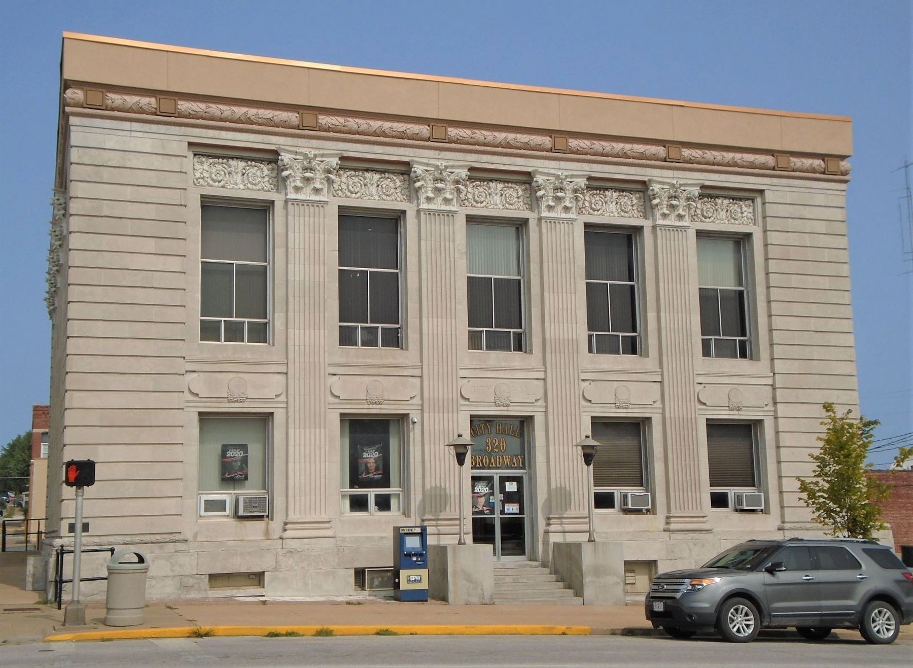
Regarding City Hall Site. Building contributes to the Central Park National Register Historic District.

Photographed by William Fischer, Jr., September 15, 2020
2. City Hall Cornerstone
Photographed by William Fischer, Jr., September 15, 2020
3. City Hall and Site Marker
Click for more information.
Credits. This page was last revised on January 8, 2022. It was originally submitted on September 21, 2020, by William Fischer, Jr. of Reynoldsburg, Ohio. This page has been viewed 357 times since then and 25 times this year. Photos: 1, 2, 3. submitted on September 21, 2020, by William Fischer, Jr. of Reynoldsburg, Ohio.
