Hannibal in Marion County, Missouri — The American Midwest (Upper Plains)
"Great Flood of 1973" Highmark
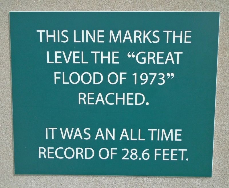
"Great Flood of 1973"
reached.
It was an all time
record of 28.6 feet
Topics. This historical marker is listed in these topic lists: Disasters • Waterways & Vessels.
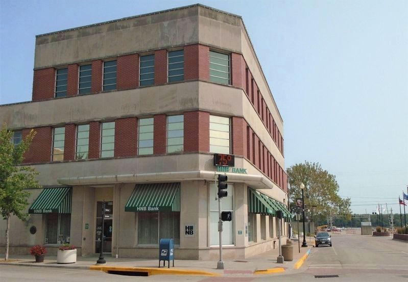
Location. 39° 42.594′ N, 91° 21.341′ W. Marker is in Hannibal, Missouri, in Marion County. Marker is at the intersection of Main Street and Broadway, on the right when traveling north on Main Street. Touch for map. Marker is at or near this postal address: 100 North Main Street, Hannibal MO 63401, United States of America. Touch for directions.
Other nearby markers. At least 8 other markers are within walking distance of this marker. Mark Twain Hotel (about 500 feet away, measured in a direct line); Standard Printing Company Building (about 600 feet away); Benjamin Horr House (about 600 feet away); City Hall Site (about 700 feet away); Owsley's Mercantile (about 800 feet away); Abner Nash Building (approx. 0.2 miles away); McDaniel's Candy Store (approx. 0.2 miles away); Joshua Mitchell Building (approx. 0.2 miles away). Touch for a list and map of all markers in Hannibal.
Also see . . .
1. Mississippi flood of 1973 at Wikipedia. (Submitted on September 21, 2020, by William Fischer, Jr. of Scranton, Pennsylvania.)
2. Remembering the Great Floods of 1993, 1973, and Even 1543 (St. Louis Magazine) . (Submitted on September 21, 2020, by William Fischer, Jr. of Scranton, Pennsylvania.)
Credits. This page was last revised on September 21, 2020. It was originally submitted on September 21, 2020, by William Fischer, Jr. of Scranton, Pennsylvania. This page has been viewed 308 times since then and 50 times this year. Photos: 1, 2. submitted on September 21, 2020, by William Fischer, Jr. of Scranton, Pennsylvania.

