Marker Logo HMdb.org THE HISTORICAL
MARKER DATABASE
“Bite-Size Bits of Local, National, and Global History”
Near Baileyton in Greene County, Tennessee — The American South (East South Central)
 

Historic Roaring Spring


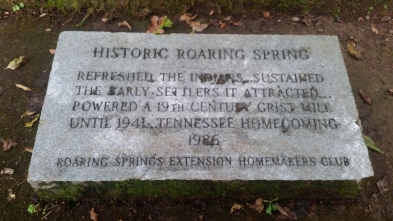
Historic Roaring Spring Marker image. Click for full size.
Photographed By James Hulse, October 15, 2018
1. Historic Roaring Spring Marker
Inscription. Refreshed the Indians… Sustained the early settlers it attracted… Powered a 19th century grist mill until 1941… Tennessee homecoming 1986
 
Erected 1986 by Roaring Springs Extension Homemakers Club.
 
Topics. This historical marker is listed in these topic lists: Industry & CommerceNative AmericansSettlements & SettlersWaterways & Vessels. A significant historical year for this entry is 1941.
 
Location. 36° 17.613′ N, 82° 46.77′ W. Marker is near Baileyton, Tennessee, in Greene County. Marker is on Roaring Springs Road, 0.2 miles west of Doty Chapel Road, on the left when traveling west. Touch for map. Marker is at or near this postal address: 210 Roaring Spring Rd, Afton TN 37616, United States of America. Touch for directions.
 
Other nearby markers. At least 8 other markers are within 9 miles of this marker, measured as the crow flies. Tennessee Civil War Trails (approx. 3.3 miles away); The Old Brick Church (approx. 3.7 miles away); Baileyton / Oakland Seminary (approx. 4.3 miles away); Edward Chalmers Huffaker (approx. 7.4 miles away); Ebenezer (approx. 7.4 miles away); Henderson’s Station (approx. 7.7 miles away); Andrew Johnson National Historic Site (approx. 8 miles away); Carter's Station (approx. 8.1 miles away).
 
Paid Advertisement
Click on the ad for more information.
Please report objectionable advertising to the Editor.
Click or scan to see
this page online
Roaring Spring goes under the road and into the open field below image. Click for full size.
Photographed By James Hulse, October 15, 2018
2. Roaring Spring goes under the road and into the open field below
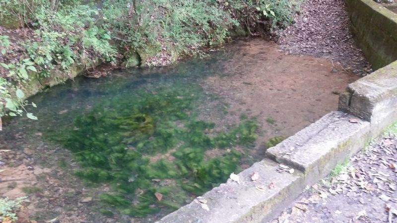
The Roaring Spring creates a small pool before going under the road. image. Click for full size.
Photographed By James Hulse, October 15, 2018
3. The Roaring Spring creates a small pool before going under the road.
The marker is left of the Roaring Springs and just outside the photo.
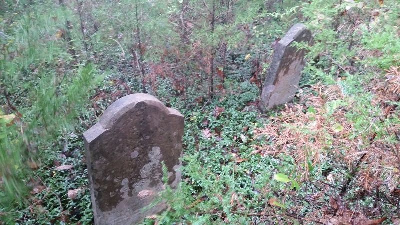
The Roaring Spring cemetery is located near by but is completely overgrown image. Click for full size.
Photographed By James Hulse, October 16, 2018
4. The Roaring Spring cemetery is located near by but is completely overgrown
 
 
Credits. This page was last revised on September 23, 2020. It was originally submitted on September 22, 2020, by James Hulse of Medina, Texas. This page has been viewed 645 times since then and 95 times this year. Photos:   1, 2, 3, 4. submitted on September 22, 2020, by James Hulse of Medina, Texas. • Devry Becker Jones was the editor who published this page.
Share this page.  
Share on Tumblr
m=156651

CeraNet Cloud Computing sponsors the Historical Marker Database.
This website earns income from purchases you make after using our links to Amazon.com. We appreciate your support.
Paid Advertisement
May. 7, 2024