Near Rosamond in Kern County, California — The American West (Pacific Coastal)
Willow Springs
California Historical Landmark
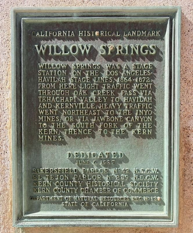
Photographed by Craig Baker, October 19, 2024
1. Willow Springs Marker
Erected 1937 by Bakersfield Parlor No. 42 N.S.G.W., El Tejon Parlor No. 239 N.D.G.W., Kern County Historical Society, Kern County Chamber of Commerce. (Marker Number 130.)
Topics and series. This historical marker is listed in this topic list: Roads & Vehicles. In addition, it is included in the California Historical Landmarks, and the Native Sons/Daughters of the Golden West series lists. A significant historical date for this entry is June 6, 1951.
Location. 34° 52.638′ N, 118° 17.851′ W. Marker is near Rosamond, California, in Kern County. It is on Manly Road 0.2 miles north of Truman Road, on the left when traveling north. Touch for map. Marker is in this post office area: Rosamond CA 93560, United States of America. Touch for directions.

Regionally, this marker is in the San Joaquin Valley, specifically in the Central
this page online
Other nearby markers. At least 8 other markers are within 14 miles of this marker, measured as the crow flies: A different marker also named Willow Springs (about 700 feet away, measured in a direct line); Willow Springs International Raceway (approx. 1.9 miles away); Adobe Church (approx. 7.6 miles away); California Poppy Reserve (approx. 11.4 miles away); Why Tehachapi Pass? / Pioneers of the Wind / Hike a Mile or Two-Thousand (approx. 12.6 miles away); Los Angeles Aqueduct Construction (approx. 12.7 miles away); 1946 John Deere Model G (approx. 12.8 miles away); Oak Creek Pass (approx. 13.7 miles away). Touch for a list and map of all markers in Rosamond.
Regarding Willow Springs. This is the first of two Willow Springs markers. The second marker, located 0.2 miles north, describes
Photographed by Barry Swackhamer, October 17, 2011
2. Willow Springs Marker
Related markers. Click here for a list of markers that are related to this marker. Stage Stops along this route.
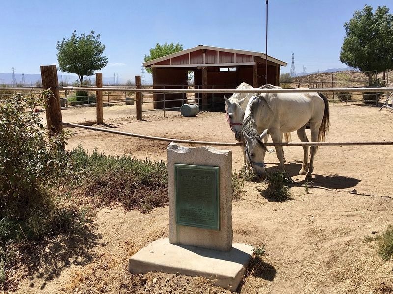
Photographed by Craig Baker, August 19, 2022
3. Willow Springs Marker

Photographed by Craig Baker, October 19, 2024
4. Willow Springs Marker
Historic watering trough at left.
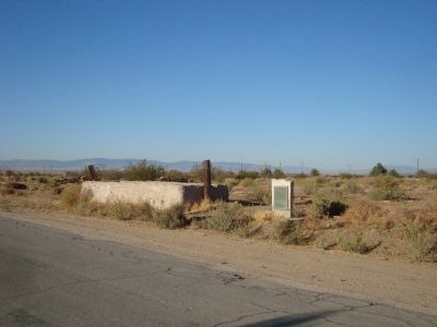
Photographed by Barry Swackhamer, October 17, 2011
5. Willow Springs Marker in 2011
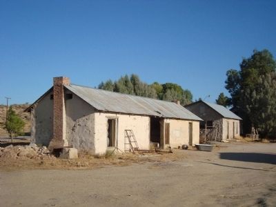
Photographed by Barry Swackhamer, October 17, 2011
6. Willow Springs Ranch
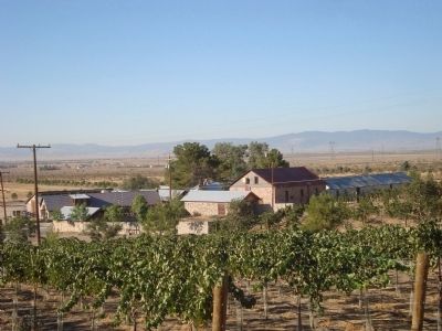
Photographed by Barry Swackhamer, October 17, 2011
7. Willow Springs Ranch
Credits. This page was last revised on February 15, 2026. It was originally submitted on December 7, 2011. This page has been viewed 1,235 times since then and 29 times this year. Last updated on September 23, 2020, by Craig Baker of Sylmar, California. Photos: 1. submitted on February 15, 2026, by Craig Baker of Sylmar, California. 2. submitted on December 7, 2011, by Barry Swackhamer of Brentwood, California. 3. submitted on September 9, 2022, by Craig Baker of Sylmar, California. 4. submitted on February 15, 2026, by Craig Baker of Sylmar, California. 5, 6, 7. submitted on December 7, 2011, by Barry Swackhamer of Brentwood, California. • J. Makali Bruton was the editor who published this page.
