
Los Alamos in Los Alamos County, New Mexico — The American Mountains (Southwest)
Martha Brook
Los Alamos Homestead Tour
| — | Site 1 • Marker 3 | — |
Photographed by Cosmos Mariner, May 24, 2015
1. Martha Brook Marker
Homestead Entry: August 1913
Los Alamos Ranch School
Purchase: 1920
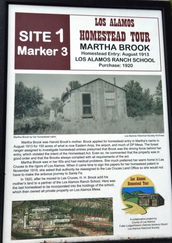
Martha Brook was Harold Brook's mother. Brook applied for homestead entry in Martha's name in August 1913 for 150 acres of what is now Eastern Area, the airport, and much of DP Mesa. The forest ranger assigned to investigate homestead entries presumed that Brook was the driving force behind her entry, which violated the intent of the Homestead Act. Even so, he commented that the property was in good order and that the Brooks always complied with all requirements of the act.
Martha Brook was in her 50s and had medical problems. She much preferred her warm home in Las Cruces to the rigors of Los Alamos. When it came time to sign the papers for her homestead patent in November 1919, she asked that authority be reassigned to the Las Cruces Land Office so she would not have to make the arduous journey to Santa Fe.
In 1920, after he moved to Las Cruces, H. H. Brook sold his mother's land to a partner of the Los Alamos Ranch School. Hers was the last homestead to be incorporated into the holdings of the school, which then owned all private property on Los
this page online
Erected by County of Los Alamos, Fuller Lodge/Historic Districts Advisory Board, and Los Alamos Historic Society.
Topics. This historical marker is listed in these topic lists: Settlements & Settlers • Women. A significant historical month for this entry is August 1913.
Location. Marker has been permanently removed. It was located near 35° 52.956′ N, 106° 18.085′ W. Marker was in Los Alamos, New Mexico, in Los Alamos County. It could be reached from Juniper Street just west of 19th Street. Marker is located along the walkway just north of the Los Alamos Historical Museum. Touch for map. Marker was at or near this postal address: 2132 Central Avenue, Los Alamos NM 87544, United States of America.
We have been informed that this marker is no longer there and will not be replaced. This page is an archival view of what was.
Regionally, this marker was in Northern New Mexico. It was also in the American Southwest. Globally, it was in North America, the Rocky Mountains, the Western Hemisphere, the Western World, and the Anglosphere. Historically, it found itself in what was once New Spain.

Other nearby markers. At
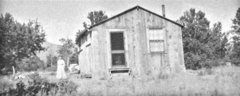
2. Marker detail: Martha Brook by her homestead cabin
Other markers no longer nearby. Albert J. Connell (was here, next to this marker but has been permanently removed); Harold H. Brook (was here, next to this marker but has been permanently removed); William Mackwood Hopper (was a few steps from this marker but has been permanently removed); Homesteading on the Pajarito Plateau, 1887-1942 (was a few steps from this marker but has been permanently removed); The Romero Cabin (was a few steps from this marker but has been permanently removed).
Related markers. Click here
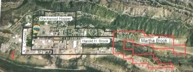
3. Marker detail: property map
Photographed by Cosmos Mariner, May 24, 2015
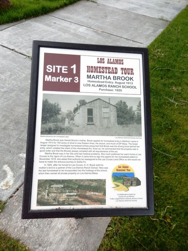
4. Martha Brook Marker
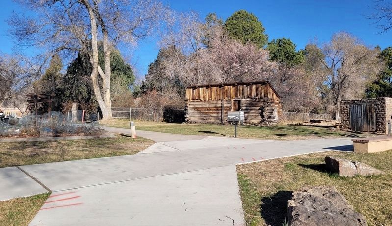
Photographed by James Hulse, March 25, 2025
5. The 6 original markers have been removed and replaced with different markers along the trail
Credits. This page was last revised on April 7, 2025. It was originally submitted on September 23, 2020, by Cosmos Mariner of Cape Canaveral, Florida. This page has been viewed 282 times since then and 6 times this year. Photos: 1, 2, 3, 4. submitted on September 24, 2020, by Cosmos Mariner of Cape Canaveral, Florida. 5. submitted on April 7, 2025, by James Hulse of Medina, Texas.
