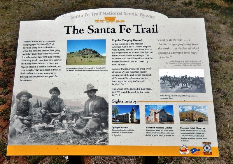
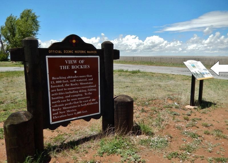
Near Springer in Colfax County, New Mexico — The American Mountains (Southwest)
The Santa Fe Trail
Santa Fe Trail National Scenic Byway
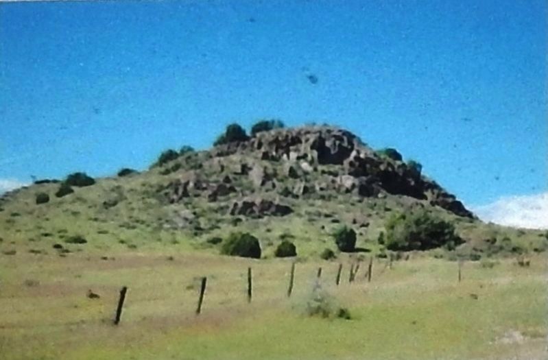
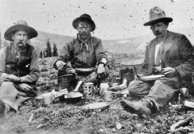
Point of Rocks was a convenient camping spot for Santa Fe Trail travelers going in both directions. When the caravans camped here going west they knew they were two weeks from the end of their 900-mile journey. Here they would have their first view of the Rocky Mountains to the west and Wagon Mound, a notable landmark, was now in sight. They could rest at Point of Rocks where the water was always flowing and the pasture was good for the animals.
Popular Camping Ground
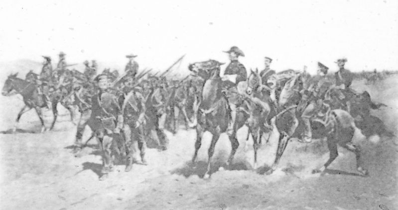
At the beginning of the Mexican-American War in 1846, General Stephen Watts Kearny traveled over Raton Pass to Las Vegas where he claimed New Mexico for the United States. But many of the volunteer units that followed him took the flatter Cimarron Route and passed by Point of Rocks.
A doctor traveling with one group wrote of seeing a "clear mountain stream" coming out of the rock which consisted of "a mass of large blocks of sienite, towering to the height of several hundred feet."
The arrival of the railroad in Las Vegas, in 1879, ended the need for the Santa Fe Trail.
"Point of Rocks was ‘…a diminutive spur projecting from the north… at the foot of which springs a charming little fount of water.’”
—Josiah Gregg, trail trader and author of The Commerce of the Prairies, a descriptive chronicle of life on the trail, 1844
Sites Nearby
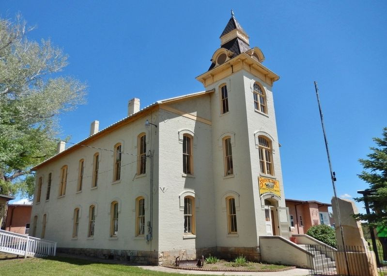
Springer Museum
Informational exhibits explain the importance of the Santa Fe Trail to the region.
Hertzstein Museum, Clayton
This museum, housed in a former church, offers informative exhibits about the Santa Fe Trail as well as history of the local area.
St. James Hotel, Cimarron
Built at the end of the trail era, the St. James opened in 1872. Buffalo Bill Cody, Jesse James, and Black Jack Ketchum stayed here. The hotel is still in business.
Erected by Santa Fe Trail National Scenic Byway.
Topics and series. This historical marker is listed in these topic lists: Roads & Vehicles • Settlements & Settlers • War, Mexican-American. In addition, it is included in the Santa Fe Trail series list.
Location. 36° 18.335′ N, 104° 11.264′ W. Marker is near Springer, New Mexico, in Colfax County. Marker is at the intersection of U.S. 412 at milepost 23.6 and County Road 52, on the left when traveling east on U.S. 412. Marker is located in a pull-out and wayside on the north side of the highway. Touch for map. Marker is in this post office area: Springer NM 87747, United States of America. Touch for directions.
Other nearby markers. At least 2 other markers are within walking distance of this marker. View of the Rockies
(here, next to this marker); Point of Rocks / The Dorsey Mansion (within shouting distance of this marker).
Also see . . . The White Massacre on the Santa Fe Trail in New Mexico. Legends of America website entry:
The White Massacre occurred in northeastern New Mexico in October 1849 when the Jicarilla Apache attacked a wagon train near the Point of Rocks on the Cimarron Branch of the Santa Fe Trail. On October 24th, James White and his party were approached by a band of Jicarilla Apache and Ute Indians who were asking for gifts. Refusing their request, the Indians were sent away. The Indians returned several times but were again rebuked. The warriors then attacked the detachment, killing all of the men and sparing only Ann White, her child, and her servant, who they took as captives. (Submitted on September 26, 2020, by Cosmos Mariner of Cape Canaveral, Florida.)
Credits. This page was last revised on December 10, 2021. It was originally submitted on September 24, 2020, by Cosmos Mariner of Cape Canaveral, Florida. This page has been viewed 327 times since then and 33 times this year. Photos: 1, 2, 3, 4, 5, 6. submitted on September 26, 2020, by Cosmos Mariner of Cape Canaveral, Florida.
