Los Alamos in Los Alamos County, New Mexico — The American Mountains (Southwest)
Los Alamos National Laboratory Today
Science Serving Society
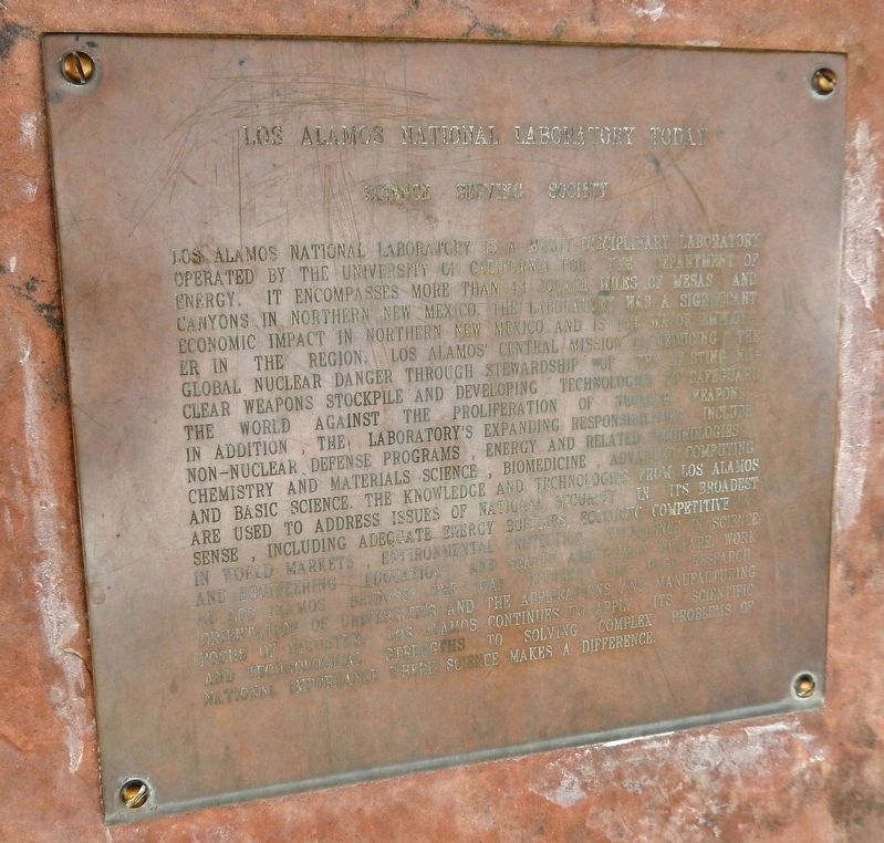
Los Alamos National Laboratory is a multi-disciplinary laboratory operated by the University of California for the Department of Energy. It encompasses more than 43 square miles of mesas and canyons in northern New Mexico. The laboratory has a significant economic impact in northern New Mexico and is the major employer in the region. Los Alamos’ central mission is reducing the global nuclear danger through stewardship of the existing nuclear weapons stockpile and developing technologies to safeguard the world against the proliferation of nuclear weapons. In addition, the laboratory’s expanding responsibilities include non-nuclear defense programs, energy and related technologies, chemistry and materials science, biomedicine, advanced computing and basic science. The knowledge and technologies from Los Alamos are used to address issues of National Security in its broadest sense, including adequate energy supplies, economic competitive in world markets, environmental protection, excellence in science and engineering, education, and health and human welfare. Work at Los Alamos bridges the gap between the basic research orientation of universities and the applications and manufacturing focus of industry. Los Alamos continues to apply its scientific and technological strengths to solving complex problems of national importance where science makes a difference.
Topics. This historical marker is listed in these topic lists: Education • Environment • Industry & Commerce • Science & Medicine.
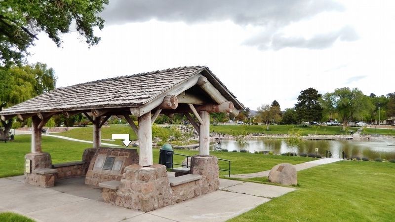
Location. 35° 52.818′ N, 106° 18.188′ W. Marker is in Los Alamos, New Mexico, in Los Alamos County. Marker is on Trinity Drive (New Mexico Route 502) 0.1 miles west of 20th Street, on the right when traveling west. Marker is located in an informational kiosk overlooking Ashley Pond. Touch for map. Marker is at or near this postal address: 2200 Trinity Drive, Los Alamos NM 87544, United States of America. Touch for directions.
Other nearby markers. At least 8 other markers are within walking distance of this marker. Ice House Memorial (here, next to this marker); Los Alamos Scientific Laboratory (here, next to this marker); Peggy Pond Church (within shouting distance of this marker); Manhattan Project Era (about 600 feet away, measured in a direct line); Fuller Lodge (about 800 feet away); Los Alamos Post Office (approx. 0.2 miles away); Post Office (approx. 0.2 miles away); William Mackwood Hopper (approx. 0.2 miles away). Touch for a list and map of all markers in Los Alamos.
Also see . . . Los Alamos National Laboratory. Website homepage:
As a Federally Funded Research and Development Center, we align our strategic plan with priorities set by the Department of Energy's National Nuclear
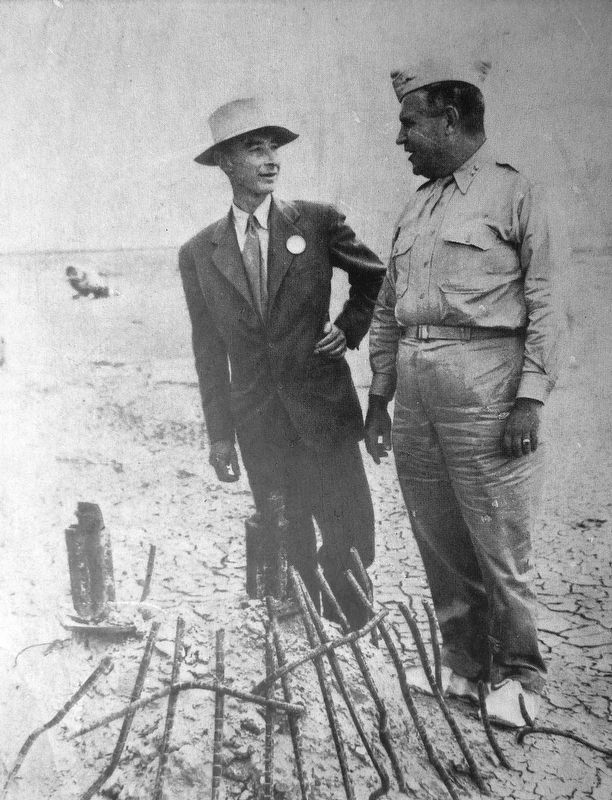
2. J. Robert Oppenheimer & Leslie R. Groves (left photo)
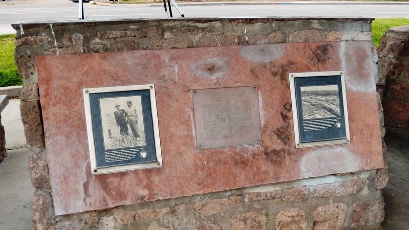
Los Alamos was created to design the first nuclear weapons in 1943. J. Robert Oppenheimer (left), its first director, is shown here with General Leslie R. Groves of the Manhattan Engineer District, who directed the national effort required to build them. The twisted metal at their feet is all that was left of the 100-foot tower upon which the first nuclear weapon was tested on July 16, 1945.
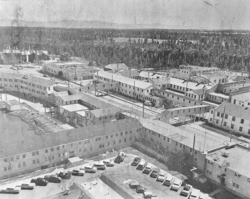
3. Wartime Los Alamos Laboratory (right photo)
The wartime Los Alamos Laboratory (Project Y), was located here. Although originally designed for about 100 scientists, engineers, and technicians, the Laboratory had over 2500 employees by the end of the war and was the largest laboratory in the world, including four particle accelerators, a reactor, a high-explosive fabrication facility, and a plutonium fabrication facility. The wartime technical area was replaced in the 1950's by a new Laboratory across Los Alamos Canyon.
Credits. This page was last revised on October 3, 2023. It was originally submitted on September 24, 2020, by Cosmos Mariner of Cape Canaveral, Florida. This page has been viewed 213 times since then and 29 times this year. Photos: 1, 2, 3, 4, 5. submitted on September 24, 2020, by Cosmos Mariner of Cape Canaveral, Florida.
