Near Winchester in Frederick County, Virginia — The American South (Mid-Atlantic)
Clark County
⎯⎯⎯
Frederick County
Photographed by Craig Swain, July 15, 2007
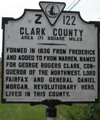
1. West Facing Side
Clark County. Area 171 Square Miles. — Formed in 1836 from Frederick and added to from Warren. Named for George Rogers Clark, conqueror of the Northwest. Lord Fairfax and General Daniel Morgan, Revolutionary Hero, lived in this county.
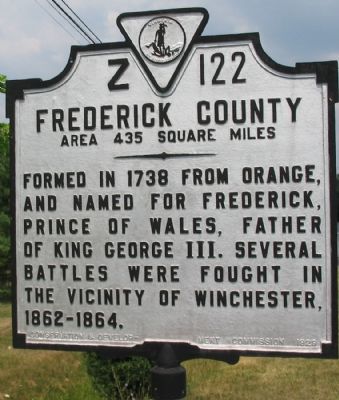
Frederick County. Area 435 square miles. — Formed in 1738 from Orange, and named for Frederick, Prince of Wales, father of King George III. Several battles were fought in the vicinity of Winchester, 1862-1864.
Erected 1929 by Conservation & Development Commission. (Marker Number Z-122.)
Topics. This historical marker is listed in these topic lists: War, US Civil • War, US Revolutionary. A significant historical year for this entry is 1836.
Location. 39° 10.691′ N, 78° 4.463′ W. Marker is near Winchester, Virginia, in Frederick County. It is on Berryville Pike / Harry Byrd Highway (Virginia Route 7), on the right when traveling east. Adjacent to the Opequon Water Reclamation Facility. Touch for map. Marker is at or near this postal address: 24324 Berryville Pike, Winchester VA 22602, United States of America. Touch for directions.

Regionally, this marker is in the Shenandoah
this page online
Other nearby markers. At least 8 other markers are within 3 miles of this marker, measured as the crow flies: Third Battle of Winchester (approx. 2.1 miles away); Jost Hite and Winchester (approx. 2.1 miles away); The Union Attacks (approx. 2½ miles away); a different marker also named Third Battle of Winchester (approx. 2½ miles away); Sheridan Moves To Battle (approx. 2½ miles away); Jordan Springs (approx. 2.6 miles away); Greenwood School (approx. 2.7 miles away); Captain Robert Young Conrad (approx. 2.8 miles away). Touch for a list and map of all markers in Winchester.
Other markers no longer nearby. The Third Battle of Winchester (was approx. 2½ miles away but has been permanently removed); a different marker also named
Photographed by Craig Swain, July 15, 2007
2. East Facing Side
Regarding Clark County / Frederick County. Clarke County was truncated to “Clark” when the State of Virginia commissioned the markers, despite the fact that the county charter specifies “Clarke.”
Photographed by Craig Swain, July 15, 2007
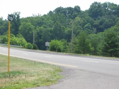
3. Clark County / Frederick County Marker
Credits. This page was last revised on November 2, 2020. It was originally submitted on July 19, 2007. This page has been viewed 1,219 times since then and 30 times this year. Last updated on September 25, 2020. Photos: 1, 2, 3. submitted on July 19, 2007, by Craig Swain of Leesburg, Virginia. • J. Makali Bruton was the editor who published this page.
