Near Raymond in Montgomery County, Illinois — The American Midwest (Great Lakes)
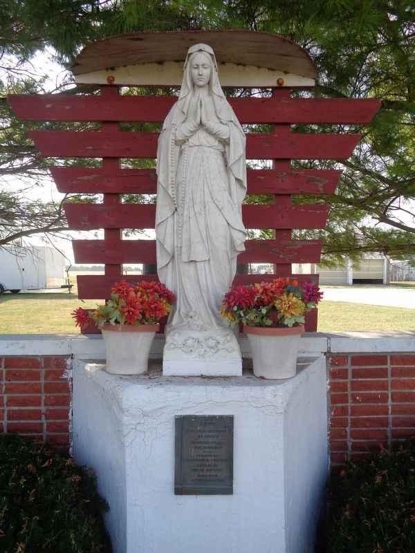
Shrine of Our Lady of the Highways
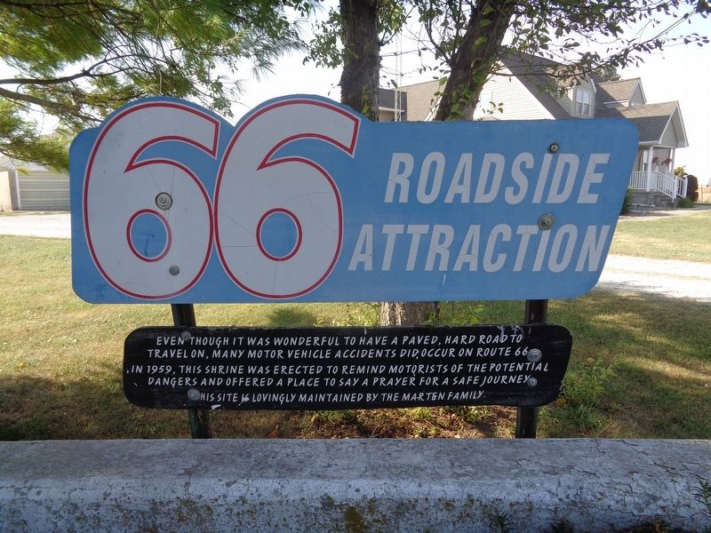
66 Roadside Attraction
Photographed by Jason Voigt, September 26, 2020
1. Shrine of Our Lady of the Highways Marker
In 1959, this shrine was erected to remind motorists of the potential dangers and offered a place to say a prayer for a safe journey.
This site is lovingly maintained by the Marten family
Topics and series. This historical marker is listed in these topic lists: Religion & Religious Structures • Roads & Vehicles. In addition, it is included in the Route 66 Roadside Attractions, and the U.S. Route 66 series lists. A significant historical year for this entry is 1959.
Location. 39° 19.964′ N, 89° 38.617′ W. Marker is near Raymond, Illinois, in Montgomery County. It is on West Frontage Road north of North 22nd Avenue (Illinois Route 48), on the left when traveling north. Touch for map. Marker is at or near this postal address: 22455 W Frontage Rd, Raymond IL 62560, United States of America. Touch for directions.

Regionally, this marker is in Central Illinois. It is also in the American Midwest and in the Corn Belt. Globally, it is in North America, the Western Hemisphere, the Western World,
this page online
Other nearby markers. At least 8 other markers are within 11 miles of this marker, measured as the crow flies: Mother Jones, Coalfield Organizer, 1837-1930 (approx. one mile away); The Coalfields of Illinois (approx. 1.4 miles away); Hank's (approx. 3.8 miles away); Veterans Memorial (approx. 6.2 miles away); Village of Farmersville (approx. 7.6 miles away); Endless Nights (approx. 10.3 miles away); World War I Memorial (approx. 10.6 miles away); Litchfield, Illinois (approx. 10.6 miles away). Touch for a list and map of all markers in Raymond.
Photographed by Jason Voigt, September 26, 2020
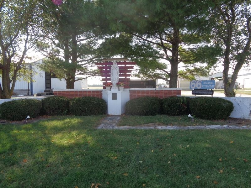
2. Shrine of Our Lady of the Highways Marker
Marker is next to the shrine. It is in front of private property.
Photographed by Jason Voigt, September 26, 2020
3. Shrine of Our Lady of the Highways
Photographed by Jason Voigt, September 26, 2020
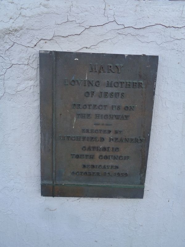
4. Close up of plaque under the shrine
Credits. This page was last revised on September 26, 2020. It was originally submitted on September 26, 2020, by Jason Voigt of Glen Carbon, Illinois. This page has been viewed 733 times since then and 73 times this year. Photos: 1, 2, 3, 4. submitted on September 26, 2020, by Jason Voigt of Glen Carbon, Illinois.
