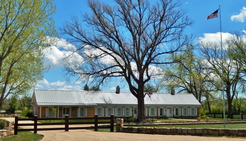
Near Watrous in Mora County, New Mexico — The American Mountains (Southwest)
A New Community Sprouts Roots
Santa Fe National Historic Trail
— Fort Union National Monument —
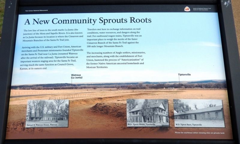
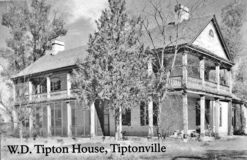
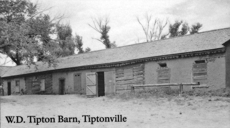
Arriving with the U.S. military and Fort Union, American merchants and Protestant missionaries founded Tiptonville on the Santa Fe Trail near La Junta (renamed Watrous after the arrival of the railroad). Tiptonville became an important western staging area for the Santa Fe Trail, serving much the same function as Council Grove, Kansas, at its eastern end.
Travelers met here to exchange information on trail conditions, water resources, and dangers along the trail. For eastbound wagon trains, Tiptonville was an important place to weigh the merits of the faster Cimarron Branch of the Santa Fe Trail against the 100-mile longer Mountain Branch.
The increasing numbers of Anglo settlers, missionaries, and merchants, along with the establishment of Fort Union, hastened the process of "Americanization" of the former Native American ancestral homelands and Mexican Territories.
Erected by Santa Fe Trail Association.
Topics and series. This historical marker is listed in these topic lists: Forts and Castles • Industry & Commerce • Native Americans • Settlements & Settlers. In addition, it is included in the Santa Fe Trail series list.
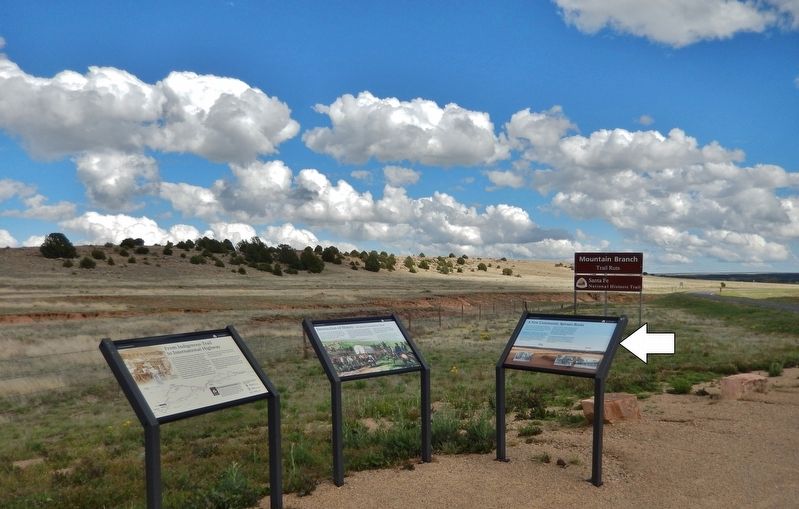
Location. 35° 50.17′ N, 104° 59.886′ W. Marker is near Watrous, New Mexico, in Mora County. Marker is on New Mexico Route 161, 2.3 miles north of Interstate 25, on the right when traveling north. Marker is the rightmost of three related interpretive panels at the Mountain Branch Trail Ruts Overlook on New Mexico Route 161. Touch for map. Marker is in this post office area: Watrous NM 87753, United States of America. Touch for directions.
Other nearby markers. At least 8 other markers are within 4 miles of this marker, measured as the crow flies. Intersection of History (here, next to this marker); From Indigenous Trail to International Highway (here, next to this marker); A Show of Strength (approx. 0.6 miles away); Tides of Change (approx. 0.6 miles away); Lasting View (approx. 0.6 miles away); La Junta (approx. 2.6 miles away); Watrous - Western Junction of the Santa Fe Trail (approx. 3.2 miles away); Watrous (approx. 3.9 miles away). Touch for a list and map of all markers in Watrous.
Related markers. Click here for a list of markers that are related to this marker. Fort Union National Monument
Also see . . . Watrous (La Junta) (Wikipedia). The Santa Fe Trail had two major branches: the Mountain Branch, which skirted north of the Sangre de Cristo Mountains and crossed southward at Raton Pass, and the Cimarron Cutoff, which ran a more direct route south of mountains but across desert that was also populated by hostile Native Americans. The community at the trail junction was known as La Junta ("the junction" in Spanish), Tiptonville, or Watrous, the latter two based on the names of two early ranchers in the area, Samuel Watrous and William Tipton. (Submitted on September 29, 2020, by Cosmos Mariner of Cape Canaveral, Florida.)
Credits. This page was last revised on September 29, 2020. It was originally submitted on September 27, 2020, by Cosmos Mariner of Cape Canaveral, Florida. This page has been viewed 145 times since then and 14 times this year. Photos: 1. submitted on September 28, 2020, by Cosmos Mariner of Cape Canaveral, Florida. 2, 3, 4, 5. submitted on September 29, 2020, by Cosmos Mariner of Cape Canaveral, Florida.
