Near Watrous in Mora County, New Mexico — The American Mountains (Southwest)
A Show of Strength
Santa Fe National Historic Trail
— Fort Union National Monument —
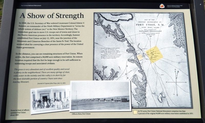
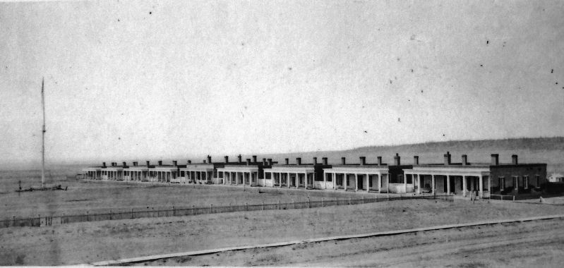
In the distance, you can see remaining structures of Fort Union. When active, the fort comprised a 44,000 acre military reservation. Its remote location required that the fort be large enough to be self-sufficient in sustaining troops and associated civilians.
The grass is very abundant and of excellent quality and wood is plenty in the neighborhood. There are many springs of clear, cold, water in the vicinity and this valley is in short by far the most desirable portion of country I have seen since leaving Missouri.
—Journal of Captain John Pope, July 12, 1851
Erected by Santa Fe Trail Association.
Topics and series. This historical marker is listed in these topic lists: Forts and Castles • Roads & Vehicles • Settlements & Settlers. In addition, it is included in the Santa Fe Trail series list. A significant historical date for this entry is July 12, 1851.
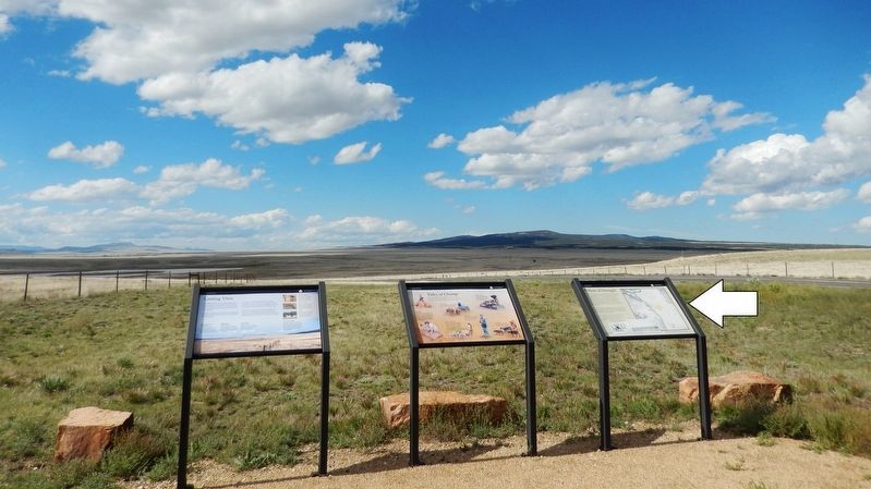
Location. 35° 50.65′ N, 105° 0.079′ W. Marker is near Watrous, New Mexico, in Mora County. Marker can be reached from New Mexico Route 161, 2.6 miles north of Interstate 25, on the left when traveling north. Marker is the rightmost of three related interpretive panels at this location. Access is via a 3/10 mile walk northward along the path from pull-out and parking area on New Mexico Route 161. Touch for map. Marker is in this post office area: Watrous NM 87753, United States of America. Touch for directions.
Other nearby markers. At least 8 other markers are within 4 miles of this marker, measured as the crow flies. Tides of Change (here, next to this marker); Lasting View (here, next to this marker); From Indigenous Trail to International Highway (approx. 0.6 miles away); Intersection of History (approx. 0.6 miles away); A New Community Sprouts Roots (approx. 0.6 miles away); La Junta (approx. 3.2 miles away); Fort Union Arsenal / Fort Union National Monument (approx. 3.7 miles away); Watrous - Western Junction of the Santa Fe Trail (approx. 3.8 miles away). Touch for a list and map of all markers in Watrous.
Related markers.
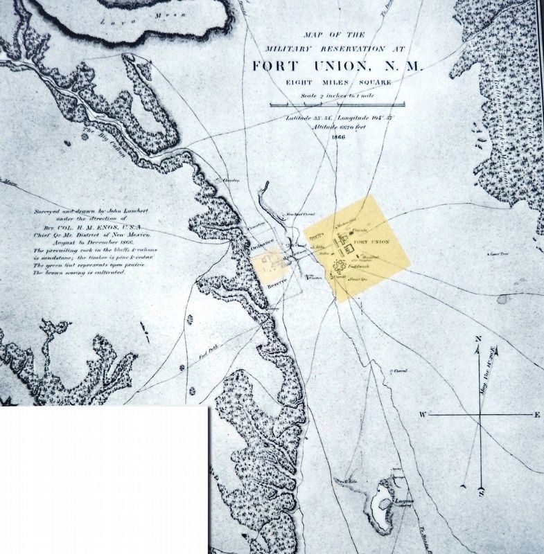
2. Marker detail: Fort Union Military Reservation Map
At 721 acres, Fort Union National Monument comprises less than 2 percent of the original 44,000-acre military reservation established in 1851.
Surveyed and drawn by John Lambert
under the direction of
Bvt. Col. H. M. Enos, U.S.A.
Chief Qr. Mr. District of New Mexico.
August to December 1866.
The prevailing rock in the bluffs & cañons
is sandstone; the timber is pine & cedar.
The green tint represents open prairie.
The brown scoring is cultivated.
under the direction of
Bvt. Col. H. M. Enos, U.S.A.
Chief Qr. Mr. District of New Mexico.
August to December 1866.
The prevailing rock in the bluffs & cañons
is sandstone; the timber is pine & cedar.
The green tint represents open prairie.
The brown scoring is cultivated.
Also see . . . A History of Fort Union. Several reasons are commonly given for its establishment including a desire on the part of the new district commander, Colonel Edwin V. Sumner, to remove the troops from the "morally degrading" influences of Santa Fe. The most likely reason was economics, however, and Sumner moved numerous New Mexico garrisons out of leased quarters and directed that self-sufficient operations, such as troop-constructed buildings and "post farms" be initiated. From such a point, troops could more readily patrol the area and react to trouble in a more timely manner than had been the case. (Submitted on September 28, 2020, by Cosmos Mariner of Cape Canaveral, Florida.)
Credits. This page was last revised on September 29, 2020. It was originally submitted on September 27, 2020, by Cosmos Mariner of Cape Canaveral, Florida. This page has been viewed 133 times since then and 10 times this year. Photos: 1, 2, 3, 4, 5. submitted on September 28, 2020, by Cosmos Mariner of Cape Canaveral, Florida.
