
Near Crockett in Houston County, Texas — The American South (West South Central)
Rice Cemetery
Photographed by James Hulse, August 25, 2018
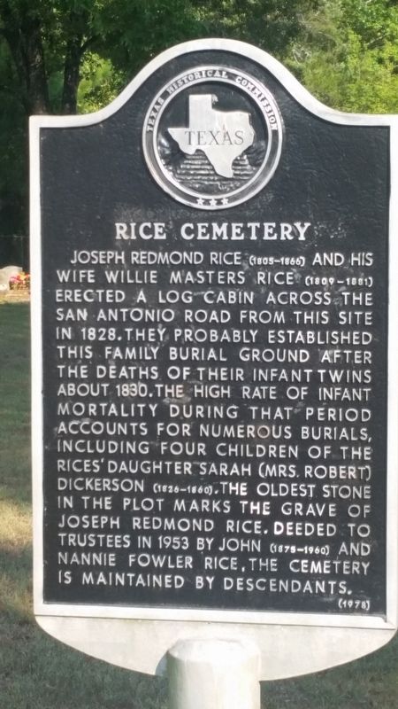
1. Rice Cemetery Marker
Joseph Redmond Rice (1805-1866) and his wife Wille Masters Rice (1809-1881) erected a log cabin across the San Antonio Road from this site in 1828. They probably established this family burial ground after the deaths of their infant twins about 1830. The high rate of infant mortality accounts for numerous burials, including four children of the Rices' daughter Sarah (Mrs. Robert) Dickerson (1826-1860). The oldest stone in the plot marks the grave of Joseph Redmond Rice. Deeded to trustees in 1953 by John (1875-1960) and Nannie Fowler, the Cemetery is maintained by descendants.
Erected 1978 by Texas Historical Commission. (Marker Number 7042.)
Topics. This historical marker is listed in these topic lists: Cemeteries & Burial Sites • Settlements & Settlers. A significant historical year for this entry is 1828.
Location. 31° 21.448′ N, 95° 23.864′ W. Marker is near Crockett, Texas, in Houston County. It is on State Highway 21 just north of County Highway 3187, on the right when traveling north. The marker is across the highway from Joseph Rice's homesite and two other markers about the Rice family. Touch for map. Marker is in this post office area: Crockett TX 75835, United States of America. Touch for directions.

Regionally, this marker is in the American South, specifically in the Deep South, and in the Piney Woods. Globally, it is in North America, a Gulf of Mexico state, the Western Hemisphere, the Western World, and the Anglosphere. Historically, it finds itself in what was once New Spain, the Republic of Texas, one of the Confederate States of America, and the Antebellum South.
Other nearby markers. At least 8 other markers are within 5 miles of this marker, measured as the crow flies: Stage Coach Inn (within shouting distance of this marker); Original Site of the Joseph R. Rice Log Cabin
this page online
Also see . . . Houston County History. TSHA Texas State Historical Association (Submitted on September 28, 2020, by James Hulse of Medina, Texas.)
Photographed by James Hulse, August 25, 2018
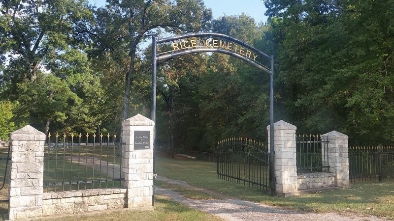
2. Rice Cemetery Gate
The marker is just behind the left fence column on the front gate and it is just off camera.
Photographed by James Hulse, August 25, 2018
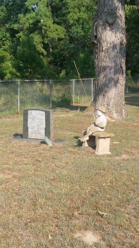
3. Gravestone with statue of young child fishing near the front of the cemetery gate.
Photographed by James Hulse, August 25, 2018
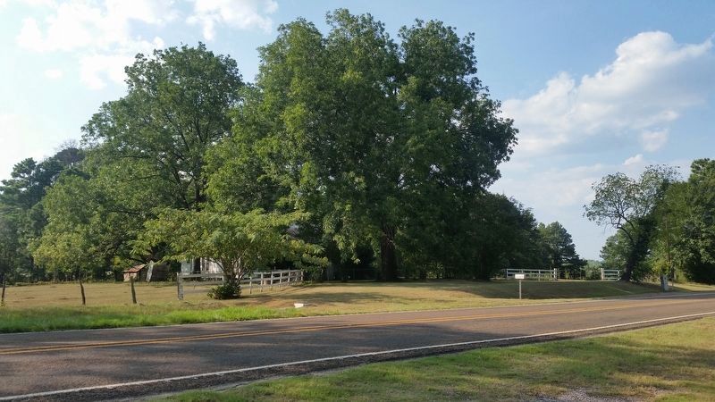
4. Joseph Rice Homesite across the Highway.
Credits. This page was last revised on September 28, 2020. It was originally submitted on September 27, 2020, by James Hulse of Medina, Texas. This page has been viewed 648 times since then and 37 times this year. Photos: 1, 2, 3. submitted on September 27, 2020, by James Hulse of Medina, Texas. 4. submitted on September 28, 2020, by James Hulse of Medina, Texas. • J. Makali Bruton was the editor who published this page.
