Calabasas in Los Angeles County, California — The American West (Pacific Coastal)
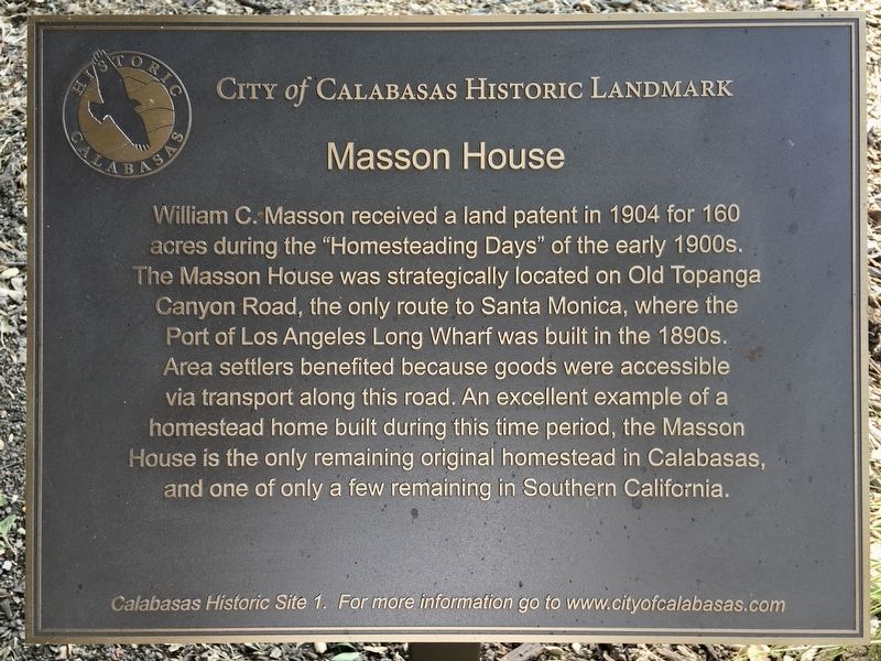
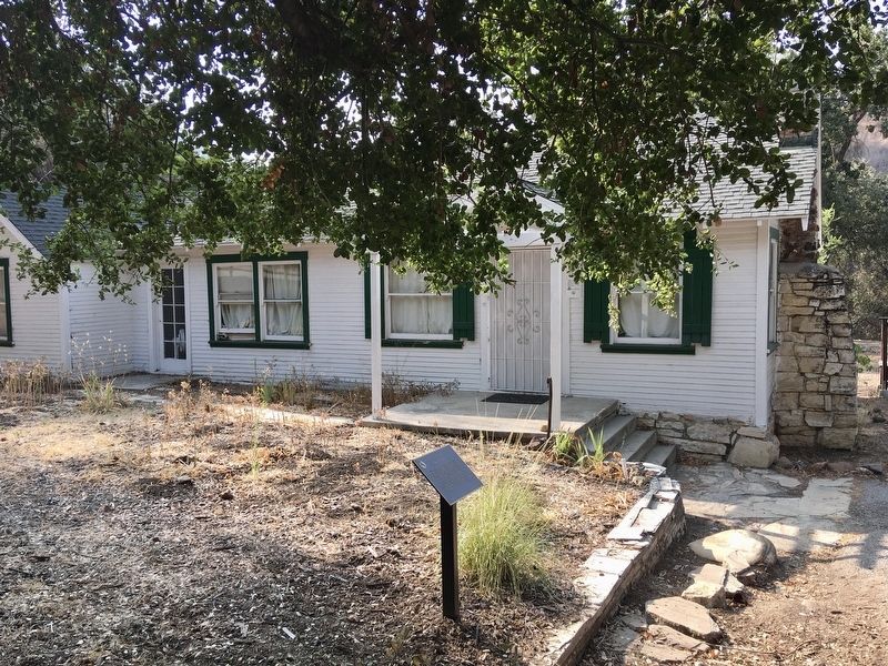
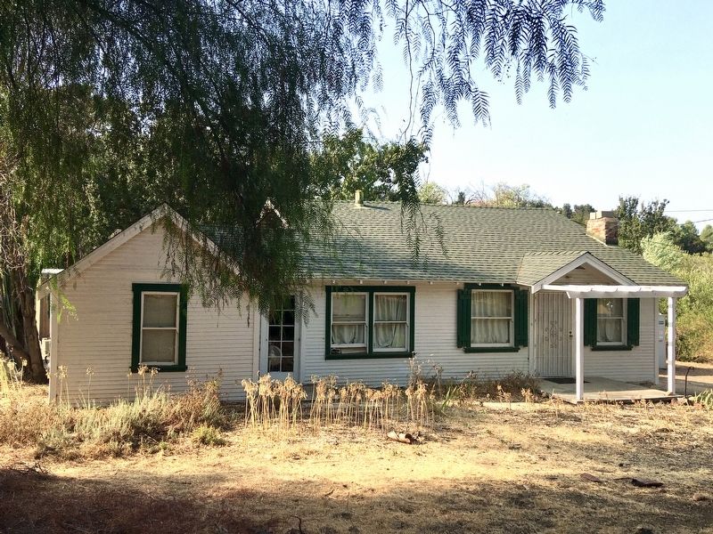
Masson House
City of Calabasas Historic Landmark
Erected 2020 by City of Calabasas. (Marker Number 1.)
Topics. This historical marker is listed in these topic lists: Industry & Commerce • Roads & Vehicles • Settlements & Settlers. A significant historical year for this entry is 1904.
Location. 34° 8.119′ N, 118° 37.881′ W. Marker is near Calabasas, California, in Los Angeles County. Marker is at the intersection of Mulholland Highway and Old Topanga Canyon Road, on the right when traveling west on Mulholland Highway. Touch for map. Marker is at or near this postal address: 23075 Mulholland Hwy, Calabasas CA 91302, United States of America. Touch for directions.
Other nearby markers. At least 8 other markers are within 5 miles of this marker, measured as the crow flies. The Bird Path (approx. half a mile away); Park Moderne Fountain (approx. half a mile away); The Rouse Residence (approx. one mile away); Roddy McDowall Rose Garden (approx. 1.3 miles away); Plummer House (approx. 1.6 miles away); Leonis Adobe (approx. 1.6 miles away); Upper Las Virgenes Canyon (approx. 4.1 miles away); Calabasas Schoolhouse Bell (approx. 4.1 miles away). Touch for a list and map of all markers in Calabasas.
Also see . . . City of Calabasas Historic Landmarks. (Submitted on September 28, 2020.)
Credits. This page was last revised on November 15, 2023. It was originally submitted on September 28, 2020, by Craig Baker of Sylmar, California. This page has been viewed 522 times since then and 71 times this year. Photos: 1, 2, 3, 4. submitted on September 28, 2020, by Craig Baker of Sylmar, California. • J. Makali Bruton was the editor who published this page.


