Fort Smith in Sebastian County, Arkansas — The American South (West South Central)
Muscogee (Creek) Nation
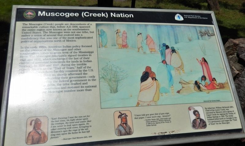
The Muscogee (Creek) people are descendants of a remarkable culture that, before A.D. 1500, spanned the entire region now known as the southeastern United States. The Muscogee were not one tribe, but rather a union of several that evolved into a confederacy that was one of the most sophisticated political organizations north of Mexico.
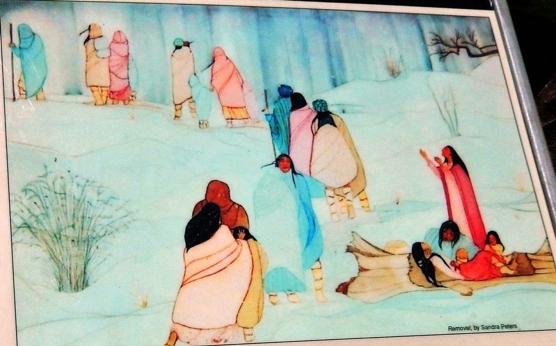
In the early 1800s, American Indian policy focused on the removal of the Muscogee and other southeastern tribes to areas west of the Mississippi River. The Muscogee reluctantly signed treaties in 1825 and 1832, which exchanged the last of their cherished ancestral homelands for lands in Indian Territory. In 1836 and 1837, during the terrible journey known as the "Trail of Tears," half of the 20,000 tribal members forcibly removed by the U.S. Army perished. Even so, shortly afterward the Muscogee began rebuilding their government — only to find it abolished by the federal government in the early 1900s. In the 1970s, the tribe drafted and adopted a new constitution and restored its national council. Today, the Muscogee number more than 80,000.
Erected by National Park Service, U.S. Department of the Interior.
Topics and series. This historical marker is listed in this topic list: Native Americans. In addition, it is included in the Trail of Tears series list. A significant historical year for this entry is 1836.
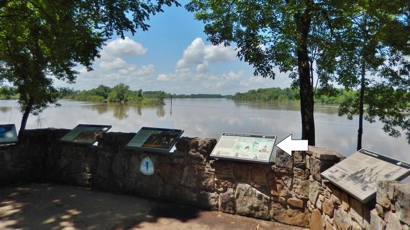
Location. 35° 23.267′ N, 94° 26.002′ W. Marker is in Fort Smith, Arkansas, in Sebastian County. Marker can be reached from the intersection of Parker Avenue and South 3rd Street. Marker is located on the Fort Smith National Historic Site grounds, near Belle Point on the west side of the fort, overlooking the Arkansas River. Touch for map. Marker is at or near this postal address: 301 Parker Avenue, Fort Smith AR 72901, United States of America. Touch for directions.
Other nearby markers. At least 8 other markers are within walking distance of this marker. Choctaw Nation (here, next to this marker); Seminole Nation (here, next to this marker); Chickasaw Nation (here, next to this marker); Cherokee Nation (a few steps from this marker); Request Denied (within shouting distance of this marker); Osage Nation (about 300 feet away, measured in a direct line); Abandoned and Forgotten (about 300 feet away); Establishing Fort Smith (about 300 feet away). Touch for a list and map of all markers in Fort Smith.
More about this marker. A Trail of Tears National Historic Trail interpretive site.
Also see . . .
1. Creek Indian Removal. Encyclopedia of Alabama entry:
Creek lands were taken through cessions in treaties, through scams by land speculators, through outright theft by squatters, and also through clandestine arrangements between Creek headmen and federal agents. By 1836, most Creeks had relocated voluntarily or been forced to remove to Indian Territory, as the present-day state of Oklahoma was known at the time. (Submitted on October 2, 2020, by Cosmos Mariner of Cape Canaveral, Florida.)
2. Muscogee (Creek) History. Inter-Tribal Council of the Five Civilized Tribes entry:
The American Civil War was disastrous for the Muscogee people. The first three battles of the war in Indian Territory occurred when Confederate forces attacked a large of neutral Muscogee (Creeks) led by Opothle Yahola. For the majority of the Muscogee people, desired neutrality proved impossible. Eventually Muscogee citizens fought on both the Union and Confederate sides. The reconstruction treaty of 1866 required the cession of 3.2 million acres - approximately half of the Muscogee domain. (Submitted on October 2, 2020, by Cosmos Mariner of Cape Canaveral, Florida.)
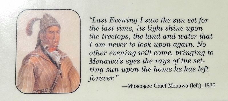
3. Marker detail: Muscogee Chief Menawa
"Last Evening I saw the sun set for the last time, its light shine upon the treetops, the land and water that I am never to look upon again. No other evening will come, bringing to Menawa's eyes the rays of the setting sun upon the home he has left forever."
—Muscogee Chief Menawa (left), 1836
—Muscogee Chief Menawa (left), 1836
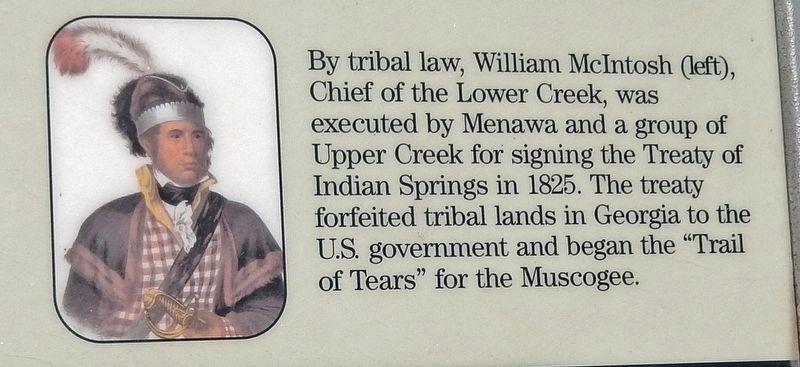
5. Marker detail: William McIntosh
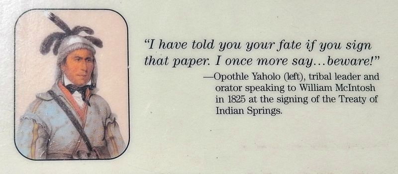
By tribal law, William McIntosh (left), Chief of the Lower Creek, was executed by Menawa and a group of Upper Creek for signing the Treaty of Indian Springs in 1825. The treaty forfeited tribal lands in Georgia to the U.S. government and began the "Trail of Tears" for the Muscogee.
Credits. This page was last revised on May 9, 2021. It was originally submitted on September 28, 2020, by Cosmos Mariner of Cape Canaveral, Florida. This page has been viewed 454 times since then and 69 times this year. Photos: 1, 2, 3, 4, 5, 6. submitted on October 2, 2020, by Cosmos Mariner of Cape Canaveral, Florida.
