Florence in Lauderdale County, Alabama — The American South (East South Central)
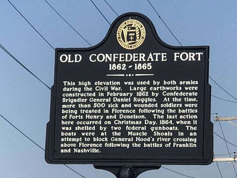
Old Confederate Fort
1862-1865
Erected by Florence Historical Board.
Topics. This historical marker is listed in these topic lists: Forts and Castles • War, US Civil. A significant historical month for this entry is February 1862.
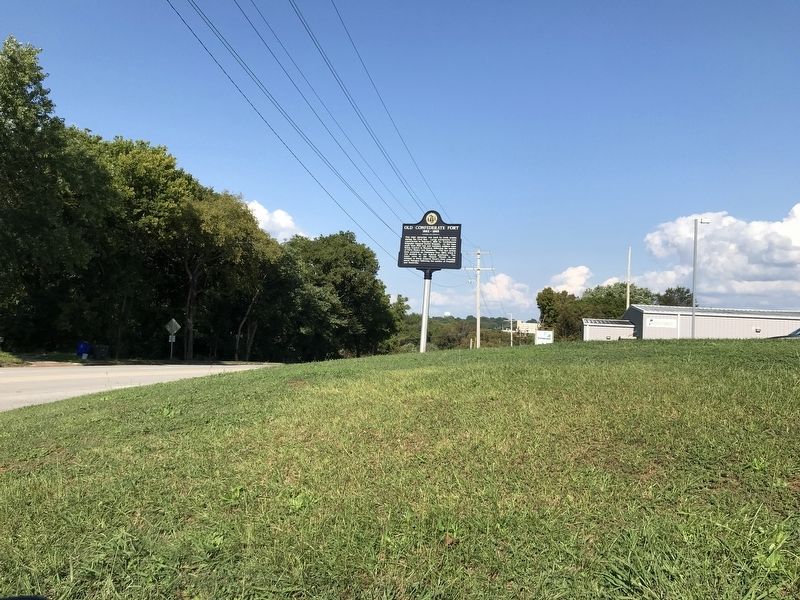
Location. 34° 47.973′ N, 87° 39.837′ W. Marker is in Florence, Alabama, in Lauderdale County. Marker is at the intersection of Veterans Drive and South Magnolia Street, on the right when traveling east on Veterans Drive. Touch for map. Marker is at or near this postal address: 805 Veterans Drive, Florence AL 35630, United States of America. Touch for directions.
Other nearby markers. At least 8 other markers are within walking distance of this marker. General Hood's Narrow Escape (a few steps from this marker); Soldier's Rest (about 800 feet away, measured in a direct line); Patton Elementary School (approx. ¼ mile away); Florence Cemetery (approx. 0.3 miles away); "Mountain" Tom Clark (approx. 0.4 miles away); St. Joseph Catholic Church (approx. 0.4 miles away); Florence Bethel Cumberland Presbyterian Church in America (approx. 0.4 miles away); East Florence Historic District (approx. 0.4 miles away). Touch for a list and map of all markers in Florence.
Credits. This page was last revised on September 29, 2020. It was originally submitted on September 28, 2020, by Duane and Tracy Marsteller of Murfreesboro, Tennessee. This page has been viewed 538 times since then and 81 times this year. Photos: 1, 2. submitted on September 28, 2020, by Duane and Tracy Marsteller of Murfreesboro, Tennessee. • Bernard Fisher was the editor who published this page.

