Jekyll Island in Glynn County, Georgia — The American South (South Atlantic)
Horton House Historic Site
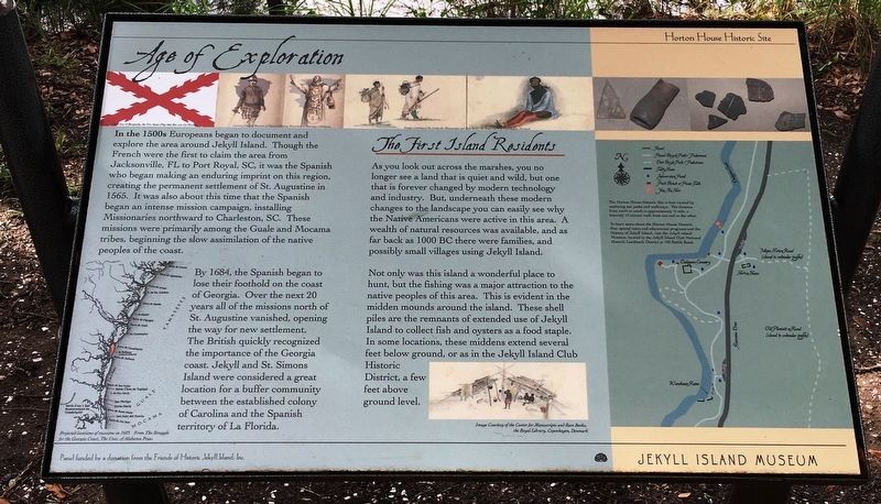
Age of Exploration
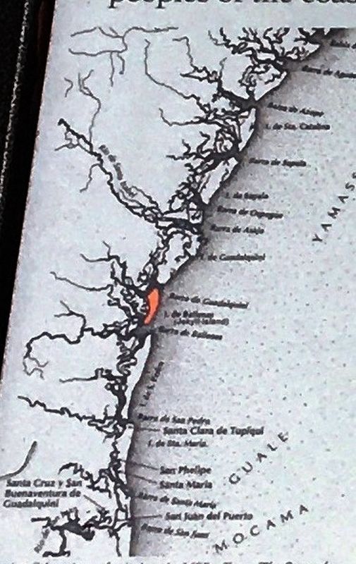
In the 1500s Europeans began to document and explore the area around Jekyll Island. Though the French were the first to claim the area from Jacksonville, FL to Port Royal, SC, it was the Spanish who began making an enduring imprint on this region, creating the permanent settlement of St. Augustine in 1565. It was also about this time that the Spanish began an intense mission campaign, installing Missionaries northward to Charleston, SC. These missions were primarily among the Guale and Mocama tribes, beginning the slow assimilation of the native peoples of the coast.
By 1684, the Spanish began to lose their foothold on the coast of Georgia. Over the next 20 years all of the missions north of St. Augustine vanished, opening the way for new settlement. The British quickly recognized the importance of the Georgia coast. Jekyll and St. Simons Island were considered a great location for a buffer community between the established colony of Carolina and the Spanish territory of La Florida.
The First Island Residents
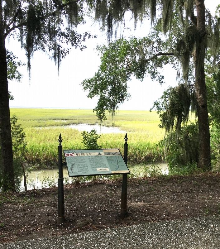
As you look across the marshes, you no longer see a that is quiet and wild, but one that is forever changed by modern technology and industry. But, underneath these modern changes to the landscape you can easily see why the Native Americans were active in this area. A wealth of natural resources was available, and as far back as 1000 BC there were families, and possibly small villages using Jekyll Island.
Not only was this island a wonderful place to hunt, but the fishing was a major attraction to the native peoples of this area. This is evident in the midden mounds around the island. These shell piles are the remnants of extended use of Jekyll Island to collect fish and oysters as a food staple. In some locations, these middens extend several feet below ground, or as in the Jekyll Island Club Historic District, a few feet above ground level.
Erected by Friends of Historic Jekyll Island, Inc.
Topics. This historical marker is listed in these topic lists: African Americans • Agriculture • Colonial Era • Settlements & Settlers.
Location. 31° 6.143′ N, 81° 24.908′ W. Marker is on Jekyll Island, Georgia, in Glynn County. Marker can be reached from Riverview Drive, 0.1 miles south of Chafin Road, on the left when traveling north. Touch for map. Marker is in this post office area: Jekyll Island GA 31527, United States of America. Touch for directions.
Other nearby markers. At least 8 other markers are within walking distance of this marker. Poulain du Bignon and du Bignon Burying Ground (within shouting distance of this marker); Le Sieur Christophe Anne Poulain du Bignon (within shouting distance of this marker); a different marker also named Horton House Historic Site (within shouting distance of this marker); a different marker also named Horton House Historic Site (within shouting distance of this marker); Horton House (within shouting distance of this marker); a different marker also named Horton House Historic Site (within shouting distance of this marker); Tabby (about 300 feet away, measured in a direct line); a different marker also named Horton House Historic Site (about 300 feet away). Touch for a list and map of all markers in Jekyll Island.
Also see . . . Horton House. (Submitted on September 29, 2020.)

Photographed By Brandon D Cross, August 23, 2020
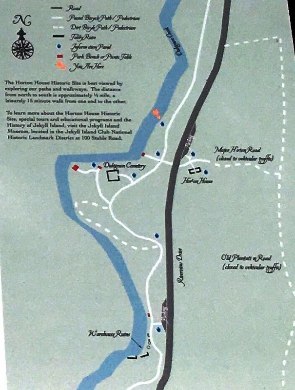
4. Horton House Historic Site map of paths and walkways
The Horton House Historic Site is best viewed by exploring our paths and walkways. The from north to south is approximately ½ mile, a leisurely 15 minute from one end to the other.
To learn more about the Horton House Historic Site , special tours and educational programs and the History of Jekyll Island Museum, located in the Jekyll Island Club National Historic Landmark District at 100 Stable Road.
To learn more about the Horton House Historic Site , special tours and educational programs and the History of Jekyll Island Museum, located in the Jekyll Island Club National Historic Landmark District at 100 Stable Road.
Credits. This page was last revised on November 20, 2020. It was originally submitted on September 28, 2020, by Brandon D Cross of Flagler Beach, Florida. This page has been viewed 122 times since then and 25 times this year. Photos: 1, 2, 3, 4. submitted on September 28, 2020, by Brandon D Cross of Flagler Beach, Florida. • Bernard Fisher was the editor who published this page.


