Florence in Lauderdale County, Alabama — The American South (East South Central)
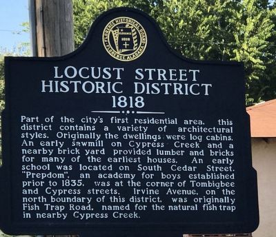
Locust Street Historic District
1818
Inscription.
Part of the city's first residential area, this district contains a variety of architectural styles. Originally the dwellings were log cabins. An early sawmill on Cypress Creek and a nearby brick yard provided lumber and bricks for many of the earliest houses. An early school was located on South Cedar Street. "Prepdom", an academy for boys established prior to 1835, was at the corner of Tombigbee and Cypress streets. Irvine Avenue, on the north boundary of this district, was originally Fish Trap Road, named for the natural fish trap in nearby Cypress Creek.
Erected by Florence Historical Board.
Topics. This historical marker is listed in these topic lists: Education • Industry & Commerce • Settlements & Settlers • Waterways & Vessels. A significant historical year for this entry is 1818.
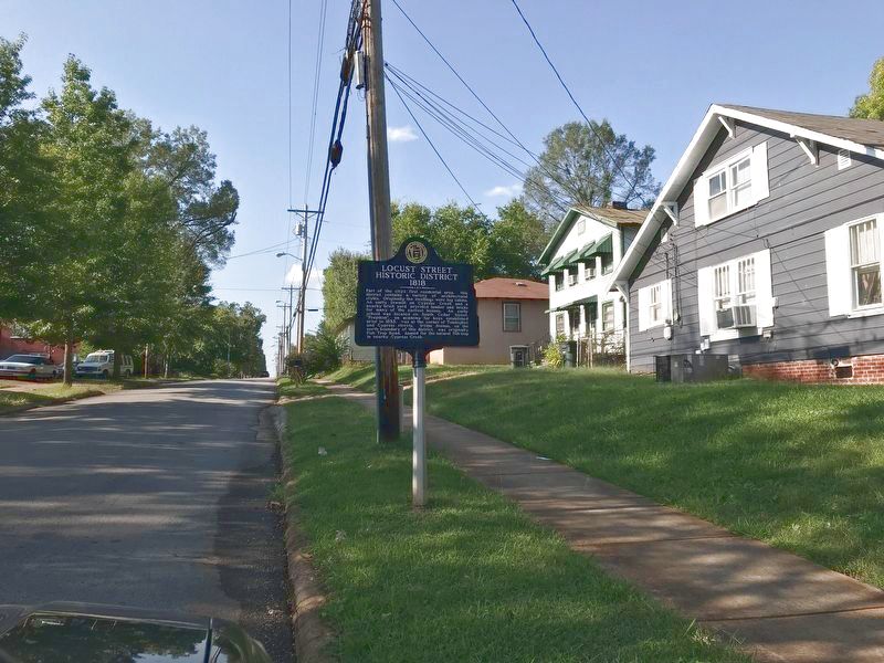
Location. 34° 47.941′ N, 87° 40.896′ W. Marker is in Florence, Alabama, in Lauderdale County. Marker is at the intersection of North Locust Street and West Mobile Street, on the right when traveling north on North Locust Street. Touch for map. Marker is at or near this postal address: 428 W Mobile St, Florence AL 35630, United States of America. Touch for directions.
Other nearby markers. At least 8 other markers are within walking distance of this marker. Saint Paul African Methodist Episcopal Church (approx. 0.2 miles away); Burrell Normal School (approx. 0.2 miles away); Karsner-Kennedy House (approx. ¼ mile away); Dred Scott (approx. ¼ mile away); William Christopher Handy (approx. 0.3 miles away); Wheeler Rifles (approx. 0.3 miles away); Trinity Episcopal Church 1894 (approx. 0.3 miles away); W. C. Handy Birthplace (approx. 0.3 miles away). Touch for a list and map of all markers in Florence.
Credits. This page was last revised on September 30, 2020. It was originally submitted on September 28, 2020, by Duane and Tracy Marsteller of Murfreesboro, Tennessee. This page has been viewed 194 times since then and 20 times this year. Photos: 1, 2. submitted on September 28, 2020, by Duane and Tracy Marsteller of Murfreesboro, Tennessee. • Mark Hilton was the editor who published this page.

