Near Monticello in Wright County, Minnesota — The American Midwest (Upper Plains)
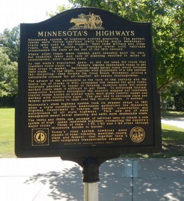
Minnesota's Highways
Where other roads were needed, each township built its own. But unskilled labor and lack of planning resulted in miles of unconnected, poor-quality roads.
As the state's population grew, so did the need for roads that travelers could count on. Farmers wanted dependable roads to get their crops to market. Merchants hoped better roads would increase their trade. In the 1890s, together with proponents of a new national fad -- bicycling -- they formed the Good Roads Movement, joining a national crusade for all-weather, all-season thoroughfares.
The advent of the automobile at the turn of the century and the heavy use of trucks in WW I, increased the demand for good roads. Motorists yearned to travel to faraway vacation spots but poorly marked roads made it difficult to get there. To encourage tourism, community boosters throughout the country mapped out interstate tourist routes known as blazed trails, each given colorful names and marked with distinctive signs. The goal was to persuade state and federal governments to take over the tourist routes. It worked.
Minnesota's state highway system took its present shape in 1921 when a state constitution amendment authorized the Minnesota Highway Department to oversee the design, construction, and maintenance of all state highways. This new era of state management meant better planning, and safer, more dependable roads.
The 1940s and 1950s saw passage of national laws to created a new system of high-speed interstate highways connecting the country's major cities. Three of them -- I-35, I-90 and I-94 cross through Minnesota border-to-border.
Today's road system combines many classes of road -- township, municipal, county, state and federal -- that together form aa well-integrated transportation network.
Erected 1997 by Minnesota Historical Society and Minnesota Department of Transportation.
Topics. This historical marker is listed in this topic list: Roads & Vehicles.
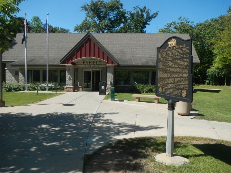
Location. 45° 20.962′ N, 93° 54.428′ W. Marker is near Monticello, Minnesota, in Wright County. Marker is on Interstate 94 at milepost 190 near County Road 8, on the right when traveling east. This marker is at the Enfield Rest Stop. Touch for map. Marker is in this post office area: Monticello MN 55362, United States of America. Touch for directions.
Other nearby markers. At least 6 other markers are within 17 miles of this marker, measured as the crow flies. The Fox Family (approx. 4.7 miles away); Exploring The Mississippi Headwaters (approx. 9.3 miles away); The Red River Trail (approx. 15.6 miles away); The First Granite Quarry (approx. 15.7 miles away); a different marker also named First Granite Quarry (approx. 16.4 miles away); These Walls Do Talk (approx. 16.4 miles away).
Credits. This page was last revised on September 29, 2020. It was originally submitted on September 29, 2020, by Barry Swackhamer of Brentwood, California. This page has been viewed 176 times since then and 22 times this year. Photos: 1, 2. submitted on September 29, 2020, by Barry Swackhamer of Brentwood, California.

