Pontiac in Livingston County, Illinois — The American Midwest (Great Lakes)
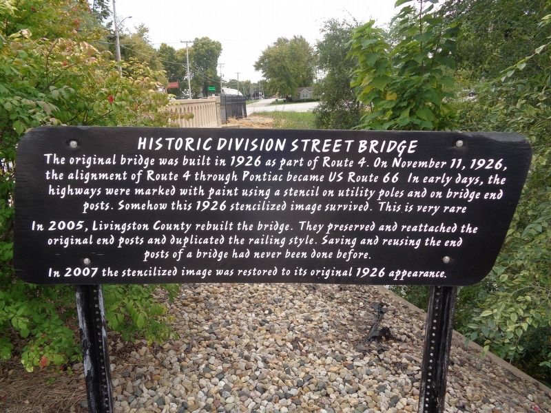
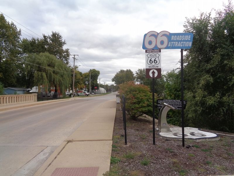
Historic Division Street Bridge
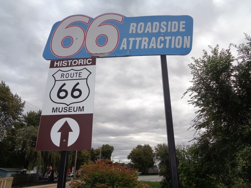
66 Roadside Attraction
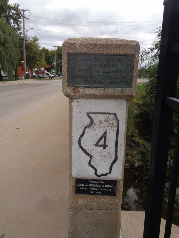
In 2005, Livingston County rebuilt the bridge. They preserved and reattached the original end posts and duplicated the railing style. Saving and reusing the end posts of a bridge had never been done before.
In 2007 the stencilized image was restored to its original 1926 appearance.
Topics and series. This historical marker is listed in these topic lists: Bridges & Viaducts • Roads & Vehicles. In addition, it is included in the Route 66 Roadside Attractions, and the U.S. Route 66 series lists. A significant historical year for this entry is 1926.
Location. 40° 53.288′ N, 88° 38.006′ W. Marker is in Pontiac, Illinois, in Livingston County. Marker is on North Division Street north of West Jefferson Street. Touch for map. Marker is at or near this postal address: 1125 N Division St, Pontiac IL 61764, United States of America. Touch for directions.
Other nearby markers. At least 8 other markers are within walking distance of this marker. A Bridge to the Past (here, next to this marker); Patrolling "Bloody 66" (approx. ¼ mile away); Lincoln Visits Strevell (approx. 0.4 miles away); An Underground Crossing (approx. half a mile away); Lincoln Speaks at Church (approx. half a mile away); Pontiac City Hall and Fire Station (approx. half a mile away); Original Route 66 Wishing Well & Sign Countryside, Illinois 1941-2007 (approx. half a mile away); Original Washington Street Route 66 Bricks (approx. half a mile away). Touch for a list and map of all markers in Pontiac.
Credits. This page was last revised on September 29, 2020. It was originally submitted on September 29, 2020, by Jason Voigt of Glen Carbon, Illinois. This page has been viewed 255 times since then and 49 times this year. Photos: 1, 2, 3, 4. submitted on September 29, 2020, by Jason Voigt of Glen Carbon, Illinois.


