Godley in Will County, Illinois — The American Midwest (Great Lakes)
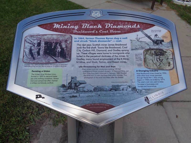
Mining Black Diamonds
Braidwood's Coal Boom
Forming a Union
The United Mine Workers Union formed in 1890 to demand better pay and working conditions. Miners and coal companies often clashed in strikes and bloody conflicts.
Life-Threatening for Men and Boys
Coal miners and their young sons working 100 feet underground faced constant dangers. At Diamond Mine, just four miles from here, snowmelt in February 1883 flooded the mine and 74 men and boys died within minutes. This photograph of the mine was taken just after the disaster.
A Changing Industry
Most Braidwood mines closed by 1900, while other local mines operated through World War I. Strip mining began in 1928 and ended by 1974. The area's coal was used to stoke furnaces in businesses and homes and locomotives.
Erected by Illinois Route 66 Scenic Byways.
Topics and series. This historical marker is listed in these topic lists: Industry & Commerce • Labor Unions • Roads & Vehicles. In addition, it is included in the U.S. Route 66 series list. A significant historical year for this entry is 1864.
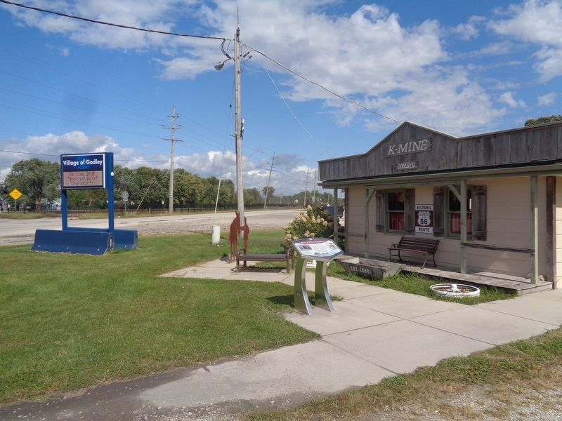
Location. 41° 14.233′ N, 88° 14.708′ W. Marker is in Godley, Illinois, in Will County. Marker is at the intersection of Kankakee Road and Illinois Route 53, on the right when traveling north on Kankakee Road. Touch for map. Marker is at or near this postal address: 150 Kankakee Rd, Braceville IL 60407, United States of America. Touch for directions.
Other nearby markers. At least 8 other markers are within 13 miles of this marker, measured as the crow flies. The Diamond Mine Disaster (approx. 3.6 miles away); War Memorial (approx. 4.6 miles away); In Appreciation (approx. 4.6 miles away); Wilmington, Illinois (approx. 7 miles away); LGBT Veterans Memorial (approx. 12 miles away); Abraham Lincoln Founding President (approx. 12 miles away); Abraham Lincoln's Second Inaugural Address (approx. 12 miles away); Manitowoc Submarines (approx. 12.4 miles away).
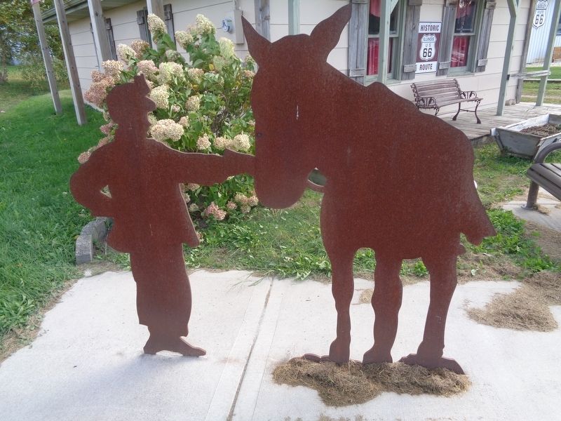
More about this marker. This is one of nine Wayside Exhibit markers erected by Illinois Route 66 Scenic Byways that
has an interpretive statue next to it.
Credits. This page was last revised on October 1, 2020. It was originally submitted on October 1, 2020, by Jason Voigt of Glen Carbon, Illinois. This page has been viewed 353 times since then and 51 times this year. Photos: 1, 2, 3. submitted on October 1, 2020, by Jason Voigt of Glen Carbon, Illinois.


