Grand Canyon National Park in Coconino County, Arizona — The American Mountains (Southwest)
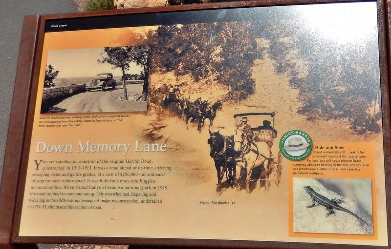
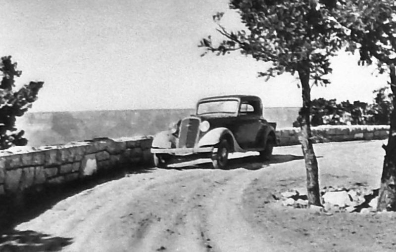
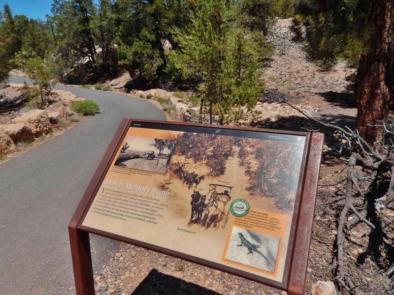
Down Memory Lane
Grand Canyon
— National Park Service, U.S. Department of the Interior —
(background image caption)
Hermit Rim Road, 1911
Erected by National Park Service, U.S. Department of the Interior.
Topics. This historical marker is listed in these topic lists: Parks & Recreational Areas • Roads & Vehicles. A significant historical year for this entry is 1911.
Location. 36° 3.774′ N, 112° 11.44′ W. Marker is in Grand Canyon National Park, Arizona, in Coconino County. Marker can be reached from the intersection of Hermit Road and West Rim Trail. Marker is located in Grand Canyon National Park (South Rim), along the West Rim Trail, about ¾ mile southeast of the Pima Point Overlook. Touch for map. Marker is in this post office area: Grand Canyon AZ 86023, United States of America. Touch for directions.
Other nearby markers. At least 8 other markers are within 3 miles of this marker, measured as the crow flies. The Best Section (approx. 0.8 miles away); A Trail, a Camp, and a "Hermit" (approx. 0.8 miles away); Hermit Camp (approx. 0.8 miles away); Rest House (approx. 1.1 miles away); Hermit's Rest (approx. 1.1 miles away); Colonel Claude Hale Birdseye (approx. 2.1 miles away); Orphan Mine (approx. 2.3 miles away); Early Explorer (approx. 2.3 miles away). Touch for a list and map of all markers in Grand Canyon National Park.
Also see . . . Grand Canyon Civilian Conservation Corps. During the 1920s federal agencies, including the National Park Service, fell behind in providing infrastructure for increased visitation. The CCC helped Grand Canyon and other national parks construct streets and roads, trails, picnic shelters, campgrounds, and telephone lines. During 1933-1936 Company 818 worked on the North Rim during the summer and moved to the canyon bottom for the winter. During those years, young men in five other CCC companies worked at Grand Canyon: Companies 847, 2543, 2833, 3318 and 4814. (Submitted on October 2, 2020, by Cosmos Mariner of Cape Canaveral, Florida.)
Credits. This page was last revised on October 2, 2020. It was originally submitted on October 2, 2020, by Cosmos Mariner of Cape Canaveral, Florida. This page has been viewed 154 times since then and 15 times this year. Photos: 1, 2, 3, 4, 5. submitted on October 2, 2020, by Cosmos Mariner of Cape Canaveral, Florida.
