Near Paxton in Ford County, Illinois — The American Midwest (Great Lakes)
The Ottawa Travel Road
Ten Mile Grove
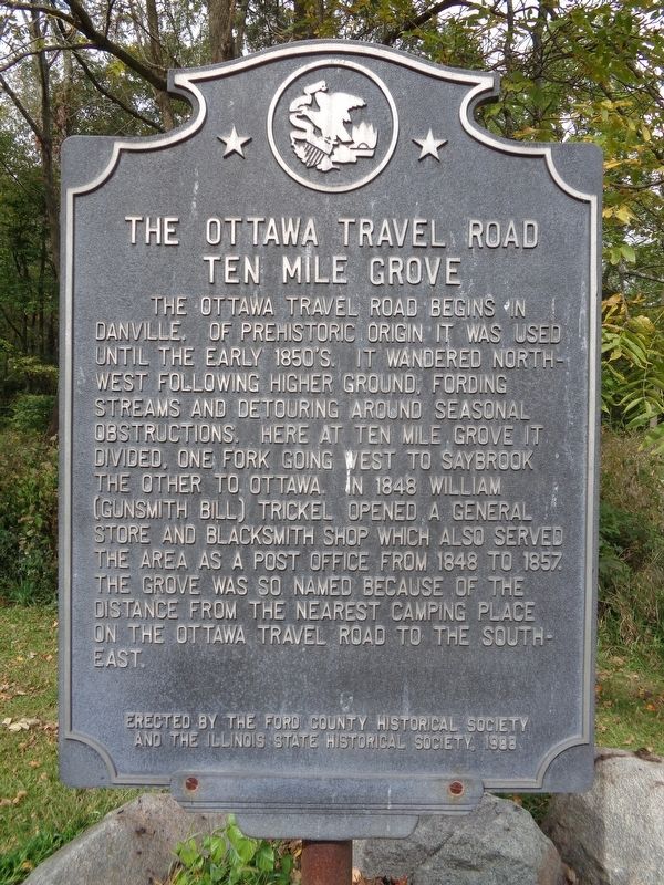
Photographed by Jason Voigt, October 2, 2020
1. The Ottawa Road - Ten Mile Grove Marker
Erected 1988 by Ford County Historical Society and the Illinois State Historical Society.
Topics and series. This historical marker is listed in these topic lists: Industry & Commerce • Roads & Vehicles. In addition, it is included in the Illinois State Historical Society series list. A significant historical year for this entry is 1848.
Location. 40° 27.301′ N, 88° 9.19′ W. Marker is near Paxton, Illinois, in Ford County. It is on Illinois Route 9 east of County Route 1600E, on the right when traveling west. Touch for map. Marker is at or near this postal
this page online

Regionally, this marker is in Central Illinois. It is also in the American Midwest and in the Corn Belt. Globally, it is in North America, the Western Hemisphere, the Western World, and the Anglosphere. Historically, it finds itself in what was once the territory of the Mississippian Culture and also the Northwest Territory.
Other nearby markers. At least 3 other markers are within 11 miles of this marker, measured as the crow flies: Israel Newton Stiles (approx. 6.4 miles away); Christopher Livingston (approx. 6.4 miles away); Miner Grade School (approx. 10.6 miles away).
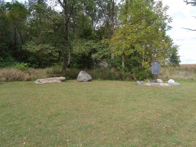
Photographed by Jason Voigt, October 3, 2020
2. The Ottawa Road - Ten Mile Grove Marker
Marker is in a small grassy area set back from the road. There is no place to park but there is a space to pull your car into. No signs lead to this marker.
Credits. This page was last revised on November 17, 2024. It was originally submitted on October 3, 2020, by Jason Voigt of Glen Carbon, Illinois. This page has been viewed 1,398 times since then and 122 times this year. Photos: 1, 2. submitted on October 3, 2020, by Jason Voigt of Glen Carbon, Illinois.
