Near Hockessin in New Castle County, Delaware — The American Northeast (Mid-Atlantic)
Cox-Phillips-Mitchell Agricultural Complex
Inscription.
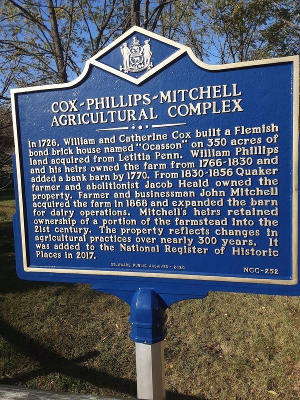
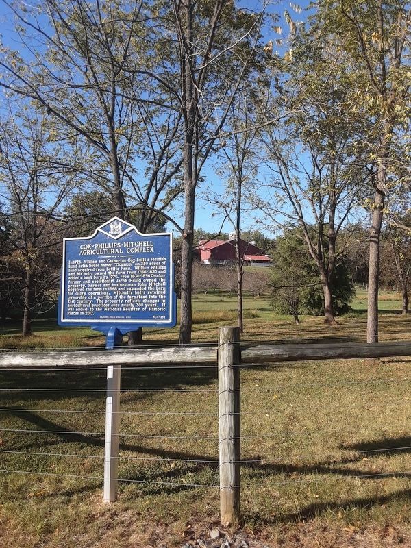
In 1726, William and Catherine Cox built a Flemish bond brick house named "Ocasson" on 350 acres of land acquired from Letitia Penn. William Phillips and his heirs owned the farm from 1766-1830 and added a bank barn by 1770. From 1830-1856 Quaker farmer and abolitionist Jacob Heald owned the property. Farmer and businessman John Mitchell acquired the farm in 1868 and expanded the barn for dairy operations. Mitchell's heirs retained ownership of a portion of the farmstead into the 21st century, The property reflects changes in agricultural practices over nearly 300 years. It was added to the National Register of Historic Places in 2017.
Erected 2020 by Delaware Public Archives. (Marker Number NCC-252.)
Topics. This historical marker is listed in these topic lists: Agriculture • Colonial Era. A significant historical year for this entry is 1726.
Location. 39° 47.664′ N, 75° 41.81′ W. Marker is near Hockessin, Delaware, in New Castle County. Marker is at the intersection of Old Wilmington Road and Farmstead Drive, on the right when traveling west on Old Wilmington Road. The address I used is across Old Wilmington Road. Touch for map. Marker is at or near this postal address: 1632 Old Wilmington Road, Hockessin DE 19707, United States of America. Touch for directions.
Other nearby markers. At least 8 other markers are within walking distance of this marker . St. John The Evangelist Church (approx. 0.2 miles away); Hockessin Friends Meetinghouse (approx. 0.3 miles away); Chippey African Union Methodist Church (approx. 0.7 miles away); Hockessin School #107C (approx. 0.7 miles away); First African-American Schoolhouse In Hockessin (approx. 0.7 miles away); Chair of Honor (approx. ¾ mile away); Veterans Memorial (approx. ¾ mile away); James Henry "Nip" Winters (approx. 0.8 miles away). Touch for a list and map of all markers in Hockessin.
Credits. This page was last revised on October 5, 2020. It was originally submitted on October 3, 2020, by Carl Gordon Moore Jr. of North East, Maryland. This page has been viewed 329 times since then and 73 times this year. Photos: 1, 2. submitted on October 3, 2020, by Carl Gordon Moore Jr. of North East, Maryland. • Bill Pfingsten was the editor who published this page.

