Midtown South in Manhattan in New York County, New York — The American Northeast (Mid-Atlantic)
McCaffrey Playground
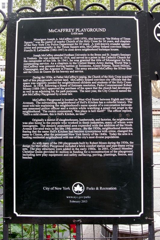
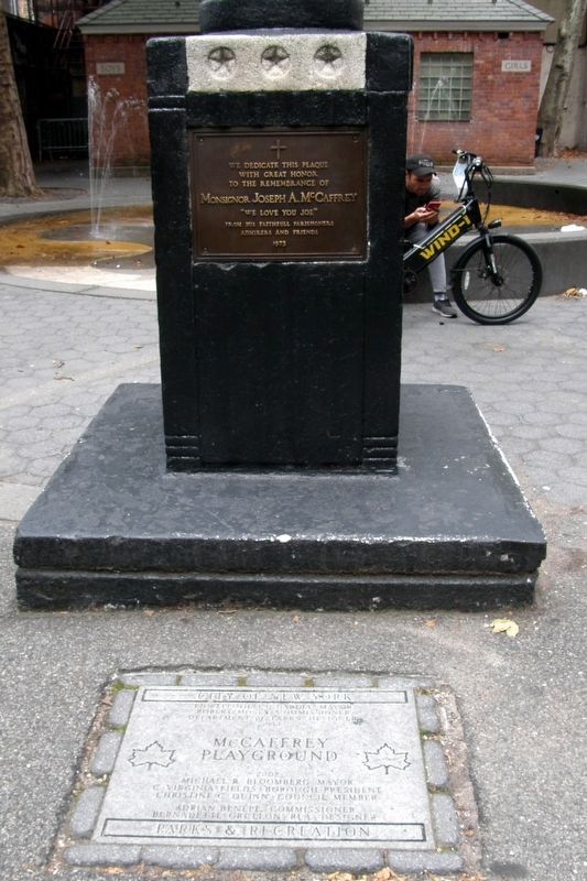
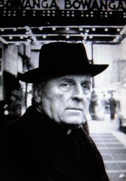
Monsignor Joseph A. McCaffrey (1890—1970), also known as “the Bishop of Times Square,” was the pastor of nearby Church of the Holy Cross for 36 years, and chaplain of the New York Police Department for 30 years. A well-known crusader against crime and pornography in the Times Square area, McCaffrey helped convince Mayor Fiorello H. LaGuardia (1882—1947) to close down neighborhood burlesque houses.
Joseph McCaffrey attended Fordham University in the Bronx and St. Joseph’s Seminary in Yonkers. He was ordained to the Catholic priesthood in 1916, and achieved the rank of Monsignor in 1941. As a chaplain in the United States Army during World War I, McCaffrey was present during battles at Soissons, Aisne-Marne, St. Mihiel, Champagne, and the Argonne in France. The army awarded McCaffrey the Silver Star and the Croix de Guerre for his bravery and service.
During the 1930s, at Father McCaffrey’s urging, the Church of the Holy Cross acquired half of this playground’s current land. McCaffrey helped convince city officials that the space was urgently needed for neighborhood children and students of the Holy Cross School. In 1938, following a Board of Estimate resolution, Parks Commissioner Robert Moses (1888—1981) approved the purchase of the space that the church had developed, as well as an adjoining lot, for park purposes. The next year, the City Council named the plot McCaffrey Playground by a local law.
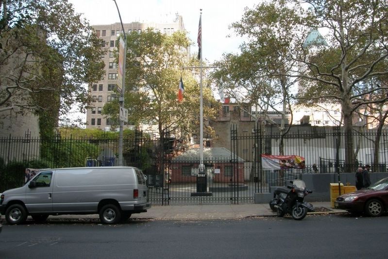
McCaffrey Playground is located on W. 43rd Street between Eighth and Ninth Avenues. The surrounding neighborhood of Hell’s Kitchen has a colorful history. The most told tale explaining the neighborhood’s name speaks of a conversation between one seasoned police officer and a rookie while watching a small riot erupt in the neighborhood. The rookie commented, “this place is hell itself!” The officer replied, “Hell’s a mild climate, this is Hell’s Kitchen, no less!”
Originally a district of slaughterhouses, lumberyards, and factories, the neighborhood was also home to the people who worked in these industries, many of whom were immigrants. The densely populated area expanded with the addition of the Ninth Avenue Elevated train in the late 19th century. By the 1950s, neighborhood residents, fearing that the name Hell’s Kitchen had become synonymous with crime, changed the name to Clinton, after the prominent New York family of the 1840s. Today the area is a bustling residential neighborhood with one of the city’s most diverse populations.
As with many of the 290 playgrounds Robert Moses built during the 1930s, McCaffrey Playground featured pavement, a brick comfort station, and pipe-frame swing sets. The
play structures were added in the early 1980s. In 2001, Council Member Christine Quinn provided $1 million in funding for a reconstruction of the playground, including new play equipment and safety surfacing, paving, plantings, fences, and benches.
Erected 2013 by New York City Parks & Recreation.
Topics. This historical marker is listed in these topic lists: Churches & Religion • Parks & Recreational Areas. A significant historical year for this entry is 1916.
Location. 40° 45.532′ N, 73° 59.485′ W. Marker is in Manhattan, New York, in New York County. It is in Midtown South. Marker is on West 43rd Street west of Eighth Avenue, on the right when traveling west. Touch for map. Marker is in this post office area: New York NY 10036, United States of America. Touch for directions.
Other nearby markers. At least 8 other markers are within walking distance of this marker. Veterans Memorial (about 300 feet away, measured in a direct line); Rev. Francis Duffy (about 300 feet away); The Times Square (approx. 0.2 miles away); The Empire Theater (approx. 0.2 miles away); John Golden (approx. 0.2 miles away); Congregation Ezrath Israel / The Actors' Temple (approx. 0.2 miles away); Harold Ross (approx. 0.2 miles away); Schubert Alley (approx. ¼ mile away). Touch for a list and map of all markers in Manhattan.
Also see . . .
1. McCaffrey Playground. Official NYCP&R description. (Submitted on October 4, 2020, by Larry Gertner of New York, New York.)
2. Joseph A. McCaffrey. Find A Grave entry. (Submitted on October 4, 2020, by Larry Gertner of New York, New York.)
Credits. This page was last revised on January 31, 2023. It was originally submitted on October 4, 2020, by Larry Gertner of New York, New York. This page has been viewed 185 times since then and 34 times this year. Photos: 1, 2, 3, 4. submitted on October 4, 2020, by Larry Gertner of New York, New York.


