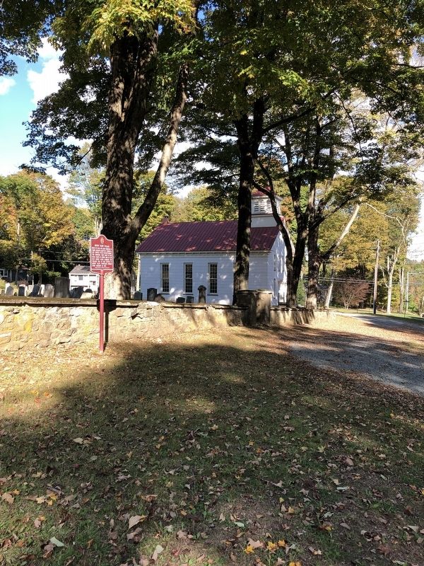
Flanders in Morris County, New Jersey — The American Northeast (Mid-Atlantic)
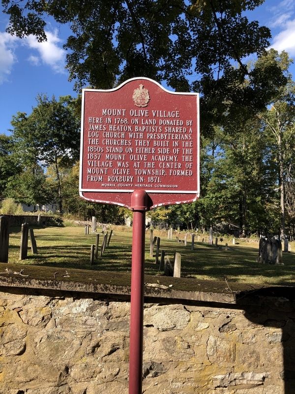
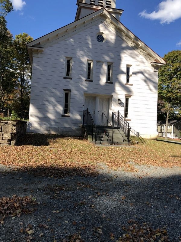
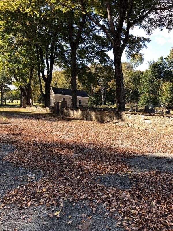
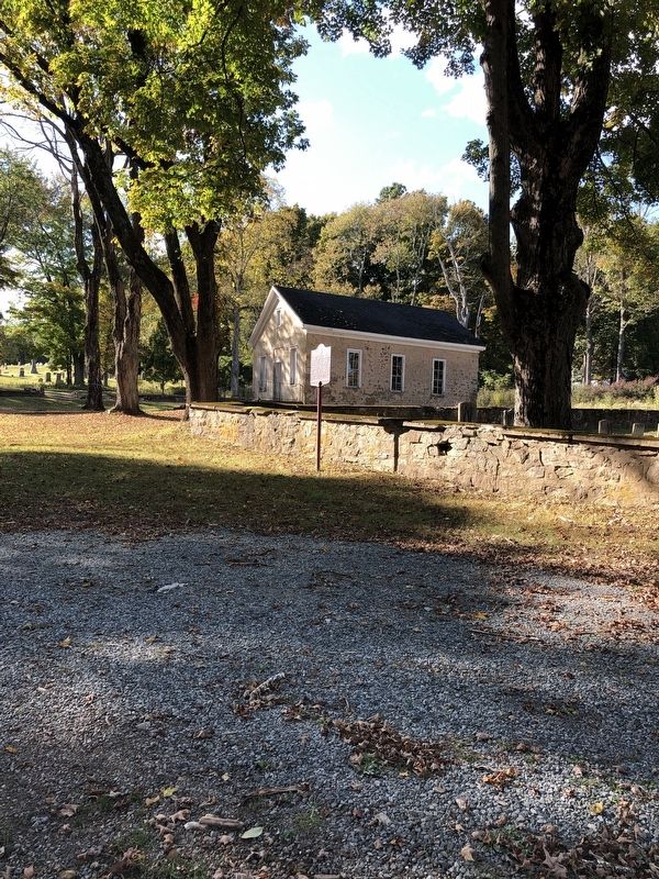
Mount Olive Village
Erected by Morris Country Heritage Commission.
Topics. This historical marker is listed in these topic lists: Churches & Religion • Colonial Era • Settlements & Settlers.
Location. 40° 51.064′ N, 74° 44.023′ W. Marker is in Flanders, New Jersey, in Morris County. Marker is at the intersection of Flanders-Drakestown Rd. and Mt. Olive Rd., on the right when traveling west on Flanders-Drakestown Rd.. Touch for map. Marker is at or near this postal address: 131 Flanders-Drakestown Rd, Flanders NJ 07836, United States of America. Touch for directions.
Other nearby markers. At least 8 other markers are within 4 miles of this marker, measured as the crow flies. Flanders-Drakestown Road Stone Arch Bridge (approx. 1.1 miles away); Budd Lake Community (approx. 1.6 miles away); Flanders Historic District (approx. 2.1 miles away); Drakestown (approx. 2.6 miles away); Bartleyville (approx. 2.6 miles away); Cary Station (approx. 2.9 miles away); Daniel Cary House - 1771 (approx. 2.9 miles away); Morris & Essex Line – Netcong Station (approx. 3˝ miles away). Touch for a list and map of all markers in Flanders.
Also see . . . Morris County Heritage Commission. (Submitted on October 10, 2020, by Michael Herrick of Southbury, Connecticut.)
Credits. This page was last revised on October 10, 2020. It was originally submitted on October 4, 2020, by Raymond Siwek of Morristown, New Jersey. This page has been viewed 206 times since then and 26 times this year. Photos: 1, 2, 3, 4, 5. submitted on October 4, 2020, by Raymond Siwek of Morristown, New Jersey. • Michael Herrick was the editor who published this page.
