Phillipsburg in Warren County, New Jersey — The American Northeast (Mid-Atlantic)
Early Industry
South Main Street
— Morris Canal Greenway —
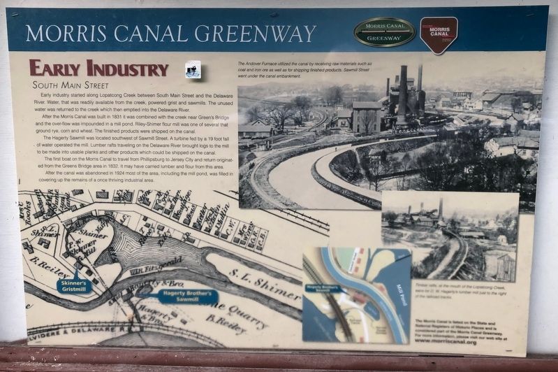
Early industry started along Lopatcong Creek between South Main Street and the Delaware River. Water, that was readily available from the creek, powered grist and sawmills. The unused water was returned to the creek which then emptied into the Delaware River.
After the Morris Canal was built in 1831 it was combined with the creek near Green's Bridge and the over-flow was impounded in a mill pond. Riley-Shimer flour mill was one of several that ground rye, corn and wheat. The finished products were shipped on the canal.
The Hagarty Sawmill was located southwest of Sawmill Street. A turbine fed by a 19 foot fall of water operated the mill. Lumber rafts traveling on the Delaware River brought logs to the mill to be made into usable planks and other products which could be shipped on the canal.
The first boat on the Morris Canal to travel from Phillipsburg to Jersey City and return originated from the Greens Bridge area in 1832. It may have carried lumber and flour from this area.
After the canal was abandoned in 1924 most of the area, including the mill pond, was filled in covering up the remains of a once thriving industrial area.
Erected by Morris Canal Greenway.
Topics and series. This historical marker is listed in these topic lists: Industry & Commerce • Waterways & Vessels. In addition, it is included in the Morris Canal series list. A significant historical year for this entry is 1831.
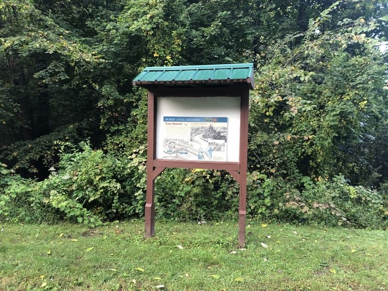
Location. 40° 40.821′ N, 75° 10.539′ W. Marker is in Phillipsburg, New Jersey, in Warren County. Marker is on South Main Street (New Jersey Route 122) 0.1 miles south of Sawmill Street, on the left when traveling north. Touch for map. Marker is at or near this postal address: 833 S Main St, Phillipsburg NJ 08865, United States of America. Touch for directions.
Other nearby markers. At least 8 other markers are within one mile of this marker, measured as the crow flies. James Campbell (about 600 feet away, measured in a direct line); Morris Canal Greenway (approx. 0.2 miles away); Morris Canal Bridge No. 2 (approx. 0.4 miles away); Morris Canal - Lock 10 West (approx. 0.4 miles away); Vietnam Memorial (approx. 0.6 miles away); William Henry Walters (approx. 0.6 miles away); Civil War Mortar (approx. one mile away); a different marker also named Civil War Mortar (approx. one mile away). Touch for a list and map of all markers in Phillipsburg.
Credits. This page was last revised on October 4, 2020. It was originally submitted on October 4, 2020, by Devry Becker Jones of Washington, District of Columbia. This page has been viewed 119 times since then and 6 times this year. Photos: 1, 2. submitted on October 4, 2020, by Devry Becker Jones of Washington, District of Columbia.

