Leesburg in Loudoun County, Virginia — The American South (Mid-Atlantic)
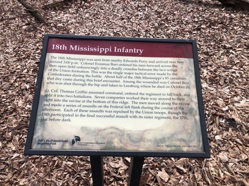
18th Mississippi Infantry
Lt. Col. Thomas Griffin assumed command, ordered the regiment to fall back, and split it into two battalions. Seven companies worked their way around to the right into the ravine at the bottom of this ridge. The men moved along the ravine and made a series of assaults on the Federal left flank during the course of the afternoon. Each of these assaults was repulsed by the Union troops, though the 18th participated in the final successful assault with its sister regiment, the 17th, just before dark.
Erected by Ball’s Bluff Regional Park/Northern Virginia Regional Park Authority.
Topics and series. This historical marker is listed in this topic list: War, US Civil. In addition, it is included in the NOVA Parks series list.
Location. 39° 7.833′ N, 77° 31.671′ W. Marker is in Leesburg, Virginia, in Loudoun County. Marker can be reached from Ball’s Bluff Road, on the right when traveling east. Located at trail stop 9, inside Ball’s Bluff Regional Park. Touch for map. Marker is in this post office area: Leesburg VA 20175, United States of America. Touch for directions.
Other nearby markers. At least 8 other markers are within walking distance of this marker. 42nd New York Infantry (within shouting distance of this marker); 17th Mississippi Infantry (about 400 feet away, measured in a direct line); Edward D. Baker (about 400 feet away); 1st California Regiment (about 400 feet away); Battle of Ball's Bluff - October 21, 1861: The Union Collapse (about 500 feet away); Ball's Bluff National Cemetery (about 500 feet away); a different marker also named Edward D. Baker (about 500 feet away); a different marker also named Ball's Bluff National Cemetery (about 500 feet away). Touch for a list and map of all markers in Leesburg.
Regarding 18th Mississippi Infantry. This marker is one of a set along the Balls Bluff Battlefield walking trail. See the Balls Bluff Virtual Tour by Markers link below for details on each stop.
Related marker. Click here for another marker that is related to this marker. This marker has replaced the linked marker.
Also see . . .
1. Brief Summary of the Battle of Ball's Bluff

Photographed By Devry Becker Jones (CC0), March 6, 2021
2. 18th Mississippi Infantry Marker
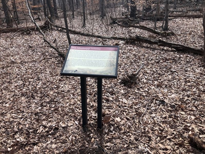
Unfortunately, the marker has experienced significant soiling.
2. Staff Ride Guide for the Battle of Balls Bluff. (Submitted on August 31, 2007, by Craig Swain of Leesburg, Virginia.)
3. 18th Mississippi Infantry Regimental History. (Submitted on August 31, 2007, by Craig Swain of Leesburg, Virginia.)
4. Balls Bluff Battlefield Virtual Tour by Marker. Over twenty markers detail the action at Balls Bluff and related sites. Please use the Click to map all markers shown on this page option at the bottom of the page to view a map of the marker locations. The hybrid view offers an excellent overlook of the park. (Submitted on November 11, 2007, by Craig Swain of Leesburg, Virginia.)
Credits. This page was last revised on March 6, 2021. It was originally submitted on August 31, 2007. This page has been viewed 2,044 times since then and 21 times this year. Last updated on October 4, 2020, by Bradley Owen of Morgantown, West Virginia. Photos: 1. submitted on September 1, 2007, by Craig Swain of Leesburg, Virginia. 2, 3. submitted on March 6, 2021, by Devry Becker Jones of Washington, District of Columbia. • J. Makali Bruton was the editor who published this page.

