Gaithersburg in Montgomery County, Maryland — The American Northeast (Mid-Atlantic)
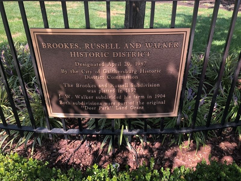
Brookes, Russell and Walker Historic District
Designated April 20, 1987 By the City of Gaithersburg Historic District Commission

Photographed By Devry Becker Jones (CC0), October 4, 2020
1. Brookes, Russell and Walker Historic District Marker
The Brookes and Russell Subdivision was platted in 1892
J.W. Walker subdivided his farm in 1904
Both subdivisions were part of the original "Deer Park" Land Grant
Erected 1987 by The City of Gaithersburg Historic District Commission.
Topics. This historical marker is listed in these topic lists: Agriculture • Settlements & Settlers. A significant historical year for this entry is 1892.
Location. 39° 8.644′ N, 77° 11.816′ W. Marker is in Gaithersburg, Maryland, in Montgomery County. Marker is at the intersection of Brookes Avenue and Russell Avenue on Brookes Avenue. Touch for map. Marker is at or near this postal address: 26 Brookes Ave, Gaithersburg MD 20877, United States of America. Touch for directions.
Other nearby markers. At least 8 other markers are within walking distance of this marker. DNC Building (approx. 0.2 miles away); Pythian Temple (approx. 0.2 miles away); John A. Belt Building (approx. ¼ mile away); The Gaithersburg Wye (approx. ¼ mile away); Baltimore and Ohio Railroad Station (approx. ¼ mile away); The Early Years (approx. ¼ mile away); The Business of Agriculture: (approx. ¼ mile away); Gaithersburg Washington Grove Volunteer Fire Department (approx. ¼ mile away). Touch for a list and map of all markers in Gaithersburg.

Photographed By Devry Becker Jones (CC0), October 4, 2020
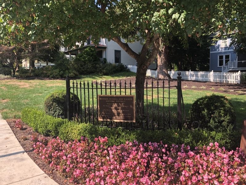
2. Brookes, Russell and Walker Historic District Marker
Credits. This page was last revised on October 4, 2020. It was originally submitted on October 4, 2020, by Devry Becker Jones of Washington, District of Columbia. This page has been viewed 168 times since then and 6 times this year. Photos: 1, 2. submitted on October 4, 2020, by Devry Becker Jones of Washington, District of Columbia.