Waynesville in Pulaski County, Missouri — The American Midwest (Upper Plains)
Rigsby House and Standard Oil Station
Route 66 • Waynesville, Missouri
Inscription.
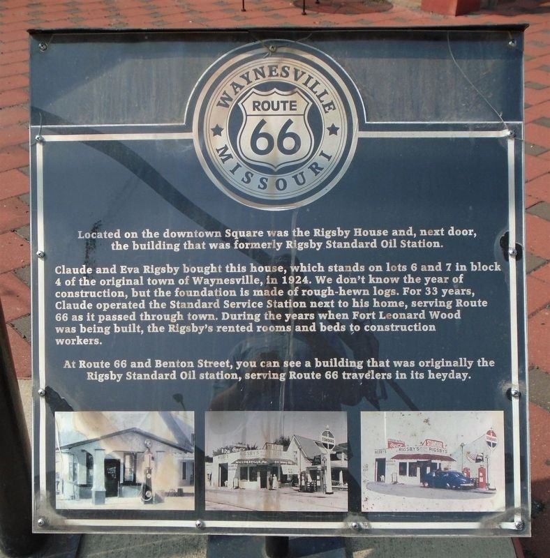
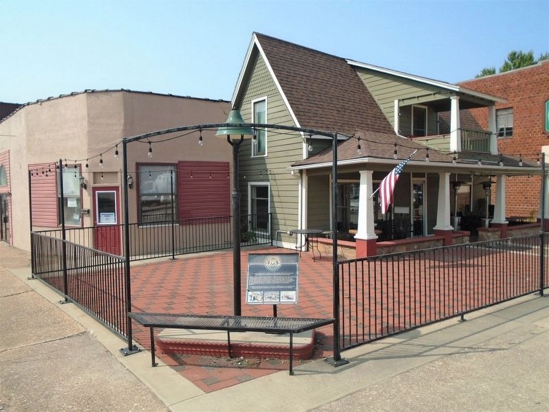
Claude and Eva Rigsby bought this house, which stands on lots 6 and 7 in block 4 of the original town of Waynesville, in 1924. We don't know the year of construction, but the foundation is made of rough-hewn logs. For 33 years, Claude operated the Standard Service Station next to his home, serving Route 66 as it passed through town. During the years when Fort Leonard Wood was being built, the Rigsby's [sic] rented rooms and beds to construction workers.
At Route 66 and Benton Street, you can see a building that was originally the Rigsby Standard Oil station, serving Route 66 travelers in its heyday.
Topics and series. This historical marker is listed in these topic lists: Industry & Commerce • Roads & Vehicles. In addition, it is included in the U.S. Route 66 series list. A significant historical year for this entry is 1924.
Location. 37° 49.73′ N, 92° 12.109′ W. Marker is in Waynesville, Missouri, in Pulaski County. Marker is at the intersection of Route 66 (Business Interstate 44) and Benton Street, on the right when traveling west on Route 66. Touch for map. Marker is at or near this postal address: 101 Route 66, Waynesville MO 65583, United States of America. Touch for directions.
Other nearby markers. At least 8 other markers are within walking distance of this marker. Pulaski County (within shouting distance of this marker); Old Stage Coach Stop (about 400 feet away, measured in a direct line); Talbot House (about 600 feet away); Waynesville Fort (about 800 feet away); A Road Through History (approx. 0.2 miles away); James Richard Livingston (approx. 0.2 miles away); A Frigid Crossing (approx. 0.2 miles away); Discover a Hidden History (approx. 0.2 miles away). Touch for a list and map of all markers in Waynesville.
Also see . . .
1. Route 66 in Missouri. (Submitted on October 5, 2020, by William Fischer, Jr. of Scranton, Pennsylvania.)
2. History of Waynesville, Missouri. (Submitted on October 5, 2020, by William Fischer, Jr. of Scranton, Pennsylvania.)
Credits. This page was last revised on October 5, 2020. It was originally submitted on October 5, 2020, by William Fischer, Jr. of Scranton, Pennsylvania. This page has been viewed 312 times since then and 53 times this year. Photos: 1, 2. submitted on October 5, 2020, by William Fischer, Jr. of Scranton, Pennsylvania.

