Bethlehem in Northampton County, Pennsylvania — The American Northeast (Mid-Atlantic)
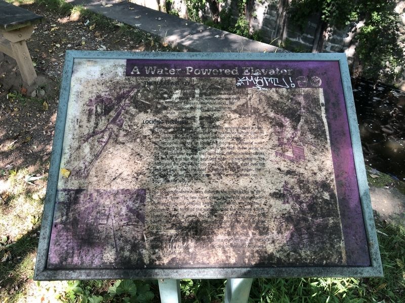
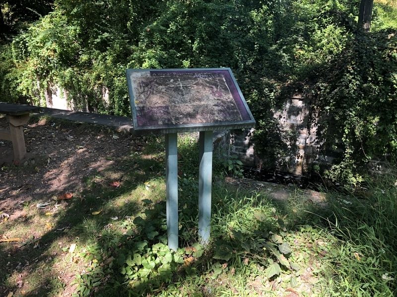
A Water-Powered Elevator
The Locks Are Key
Engineers on the Delaware and Lehigh canals installed over 70 locks to raise and lower canal boats onto stretches of level water. Although there were variations between individual locks, the process of "locking through" was similar on both canals.
Locking Through
The boatman coming from the coalfields upstream gives a blast on his conch shell horn. Alerted, the locktender hurries down to the lower gate and closes it so the lok chamber will start to fill. He opens wickets set below the drop gate, allowing water to flow into the lock chamber. When the level of the water in the lock chamber equals that upstream, the locktender closes the wickets and the drop gate falls under its own weight. The mules pull the canal boat into the lock chamber right over the lowered gate. When the boat is settled in the chamber, the locktender raises the drop gate. Now, no more water can pour into the lock.
The locktender then hurries down the miter gates to do his work there. The two miter gates at the end of the lock chamber form a V-shaped angle (miter joint) that points upstream. The force of the water pushes the mitered edges together, forming a seal that prevents leaks. With the canal boat in the lock chamber the locktender opens the wickets of the lower gate. Water is released from the chamber. When the water level falls and goes into the lower level, he opens the miter gates. The gates press into the sidewall of the lock. The canal boat opens the chamber and continues on its way downstream.
Erected by Delaware & Lehigh National Heritage Corridor, Bethlehem City and Township, and Carbon County.
Topics. This historical marker is listed in this topic list: Waterways & Vessels.
Location. 40° 36.988′ N, 75° 22.808′ W. Marker is in Bethlehem, Pennsylvania, in Northampton County. Marker is on Sand Island Trail, 0.2 miles east of Main Street, on the right when traveling east. Touch for map. Marker is in this post office area: Bethlehem PA 18018, United States of America. Touch for directions.
Other nearby markers. At least 8 other markers are within walking distance of this marker. From Mountain to Market (within shouting distance of this marker); Coal for Cabbage (within shouting distance of this marker); It's a Short Commute (within shouting distance of this marker); The Canaler's Life (about 800 feet away, measured in a direct line); Sisters' House (approx. 0.2 miles away); Bell House (approx. 0.2 miles away); Gemeinhaus (approx. 0.2 miles away); Gemein Haus (approx. 0.2 miles away). Touch for a list and map of all markers in Bethlehem.
Credits. This page was last revised on October 6, 2020. It was originally submitted on October 6, 2020, by Devry Becker Jones of Washington, District of Columbia. This page has been viewed 85 times since then and 13 times this year. Photos: 1, 2. submitted on October 6, 2020, by Devry Becker Jones of Washington, District of Columbia.

