Towanda in McLean County, Illinois — The American Midwest (Great Lakes)
Henderson's Standard

Photographed by Jason Voigt, February 16, 2026
1. Henderson's Standard Marker
Directly ahead lay the remnants of Henderson's Dairy, which was closed in 1942 due to a calling to war. Upon Jerry Henderson's return home from World War II in 1945, the Standard Service Station was built and opened. It was a small, family owned business that offered full service gasoline for 16.9 cents per gallon. The service station provided a lube room in which minor repairs were made and products such as spark plugs and tires were sold. Inside the quaint building, travelers and townspeople could purchase a Beich's Whiz, "the best candy bar there is" and ice cold six-ounce bottles of Coca-Cola for a nickle each. After 16 years of dependable service, this station was closed in 1963 due to increased competition and additional farming responsibilities. Henderson's Standard was a frequent stopping place that added to the character of Historic Route 66.
Topics and series. This historical marker is listed in these topic lists: Industry & Commerce • Roads & Vehicles. In addition, it is included in the U.S. Route 66 series list. A significant historical year for this entry is 1945.
Location. 40° 33.873′ N, 88° 54.169′ W.
this page online

Regionally, this marker is in Central Illinois. It is also in the American Midwest and in the Corn Belt. Globally, it is in North America, the Western Hemisphere, the Western World, and the Anglosphere. Historically, it finds itself in what was once the territory of the Mississippian Culture and also the Northwest Territory.
Other nearby markers. At least 8 other markers are within 5 miles of this marker, measured as the crow flies: Dead Man's Curve (within shouting distance of this marker); Fern's Cafe (about 300 feet away, measured in a direct line); 1954 Route 66 Alignment (approx. 0.2 miles away); a different marker also named Dead Man's Curve (approx. 0.2 miles away); Pure Oil Truck Stop (approx. 0.2 miles away); 1926 Route 66 Alignment (approx. 0.3 miles away); End of the Journey (approx. half a mile away); Bloomington Airport Former Site
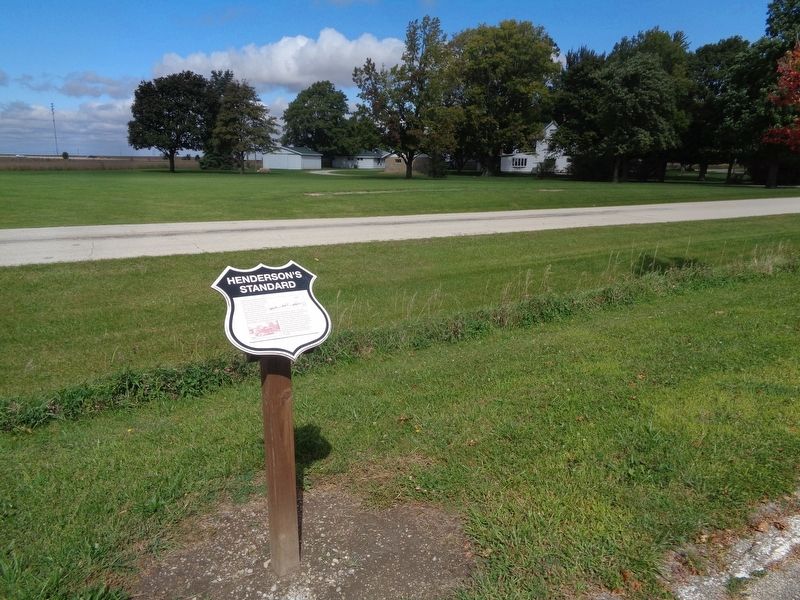
Photographed by Jason Voigt, September 29, 2020
2. Henderson's Standard Marker
Marker is actually located off the Route 66 Bike Trail in Towanda. Quincy Street is in the background.
Credits. This page was last revised on February 20, 2026. It was originally submitted on October 9, 2020, by Jason Voigt of Glen Carbon, Illinois. This page has been viewed 465 times since then and 34 times this year. Photos: 1. submitted on February 20, 2026, by Jason Voigt of Glen Carbon, Illinois. 2. submitted on October 9, 2020, by Jason Voigt of Glen Carbon, Illinois.
