Rolling Fork in Sharkey County, Mississippi — The American South (East South Central)
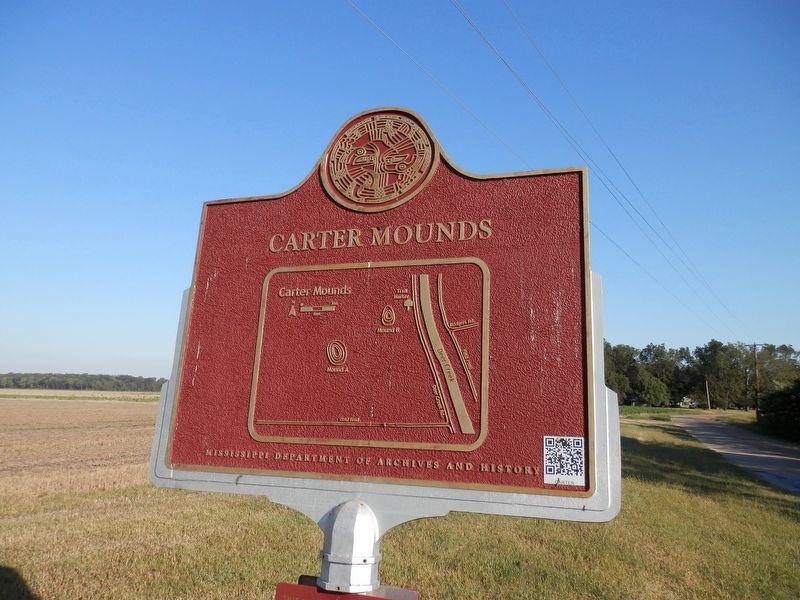
Carter Mounds
— Mississippi Mound Trail —
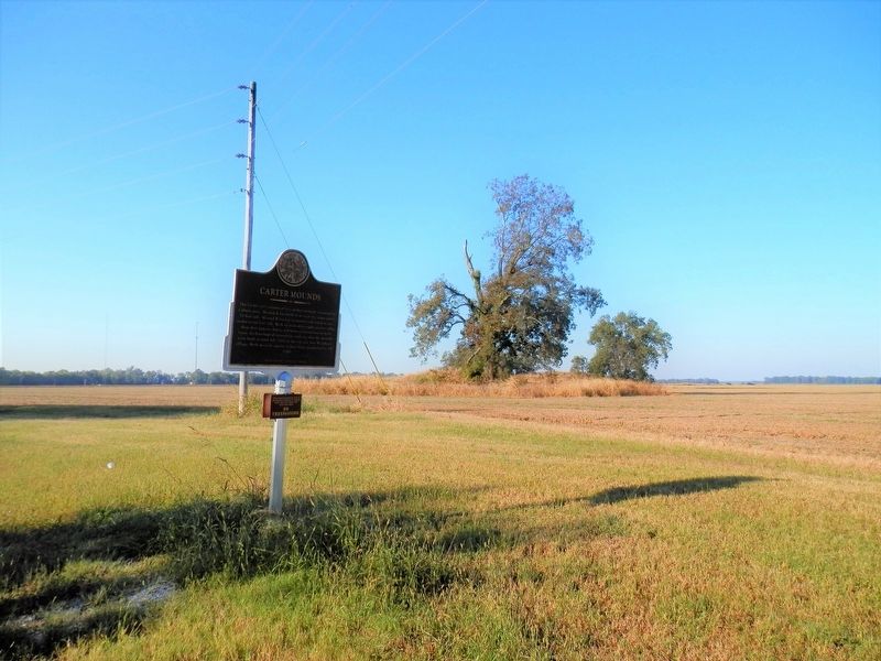
The Carter site consists of two earthen mounds separated by a plaza area. Mound A was built in at least two stages and is 13 feet tall. Mound Bis a burial mound and stands at just under seven feet tall. Both mounds are roughly six feet taller than they appear, due to sediment accumulation at their bases. Archaeological excavations indicate that the mounds were built around AD 1000 on the site of a Late Woodland village. Both mounds appear to have been abandoned by AD 1100.
Lower Plaque
This archaeological site is on private property. Please view from the pull-off area.
NO TRESPASSING
Erected by Mississippi Mounds Trail/ Mississippi Department of Archives and History.
Topics and series. This historical marker is listed in this topic list: Native Americans. In addition, it is included in the Mississippi Mound Trail series list.
Location. 32° 55.464′ N, 90° 52.887′ W. Marker is in Rolling Fork, Mississippi, in Sharkey County. Marker is on Deer Creek Road, 0.4 miles south of State Route 16, on the right when traveling south. Touch for map. Marker is in this post office area: Rolling Fork MS 39159, United States of America. Touch for directions.
Other nearby markers. At least 8 other markers are within 9 miles of this marker, measured as the crow flies. The Story of Teddy Bears (approx. 1.1 miles away); Muddy Waters (approx. 1.2 miles away); Sharkey County Courthouse (approx. 1.2 miles away); What is a Shotgun Shack? (approx. 1.2 miles away); Rolling Fork Mounds (approx. 2 miles away); Anguilla Mound (approx. 4.1 miles away); Grace Mounds (approx. 6.8 miles away); Cary Mounds (approx. 8.9 miles away). Touch for a list and map of all markers in Rolling Fork.
Credits. This page was last revised on October 10, 2020. It was originally submitted on October 9, 2020, by Cajun Scrambler of Assumption, Louisiana. This page has been viewed 268 times since then and 27 times this year. Photos: 1, 2, 3, 4. submitted on October 9, 2020, by Cajun Scrambler of Assumption, Louisiana.


