Salem in Marion County, Oregon — The American West (Northwest)
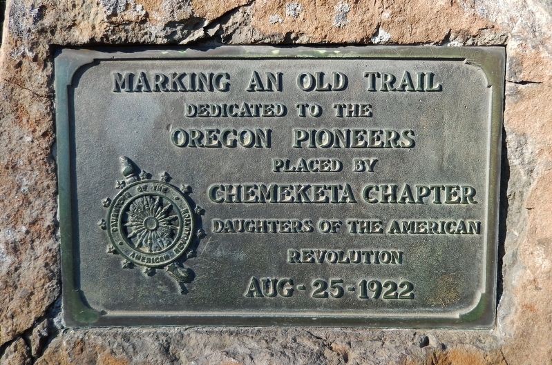
Marking an Old Trail
Oregon Pioneers
placed by
Chemeketa Chapter
Daughters of the American
Revolution
Aug – 25 – 1922
Erected 1922 by Chemeketa Chapter, Daughters of the American Revolution.
Topics and series. This historical marker is listed in these topic lists: Roads & Vehicles • Settlements & Settlers. In addition, it is included in the Daughters of the American Revolution series list.
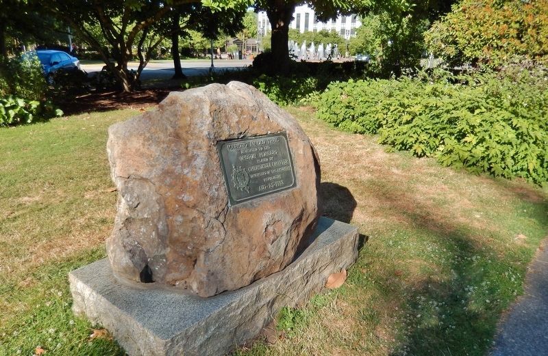
Location. 44° 56.341′ N, 123° 1.863′ W. Marker is in Salem, Oregon, in Marion County. Marker can be reached from the intersection of Court Street Northeast and West Summer Street Northeast. Marker is located on the Oregon State Capitol grounds, near the northwest corner of the Capitol. Touch for map. Marker is at or near this postal address: 900 Court Street Northeast, Salem OR 97301, United States of America. Touch for directions.
Other nearby markers. At least 8 other markers are within walking distance of this marker. Dedicated to You, A Free Citizen in a Free Land (within shouting distance of this marker); Rev. Jason Lee (about 600 feet away, measured in a direct line); Dr. John McLoughlin (about 600 feet away); Column Segments (about 600 feet away); Giant Sequoia (about 600 feet away); Willamette University College of Medicine (about 600 feet away); The Circuit Rider / Robert Booth Memorial (about 700 feet away); T.G. Bligh Building (approx. 0.3 miles away). Touch for a list and map of all markers in Salem.
Also see . . . Arriving in the Oregon Territory. The end of their hardships was not over for the emigrants arriving in the Oregon Territory. Those who arrived earlier in the year had an opportunity to find lodging. The later in the year they arrived the harder it would be to find such a place. Many ended up in leaky shacks or tents for the winter that were already occupied by several families. (Submitted on October 11, 2020, by Cosmos Mariner of Cape Canaveral, Florida.)
Credits. This page was last revised on October 11, 2020. It was originally submitted on October 10, 2020, by Cosmos Mariner of Cape Canaveral, Florida. This page has been viewed 169 times since then and 14 times this year. Photos: 1, 2. submitted on October 11, 2020, by Cosmos Mariner of Cape Canaveral, Florida.

